Gran Canaria
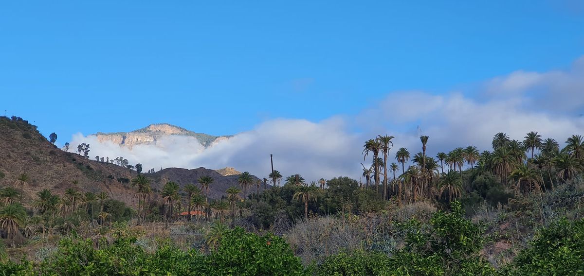
The Canary Islands are part of ecoregion Macronesia including Cape Verde, Azores, Madeira and Selvagem. They lie approx 100 km from the West coast of Africa. The islands are natural volcano laboratory unique in the World.
 Héctor Sacristán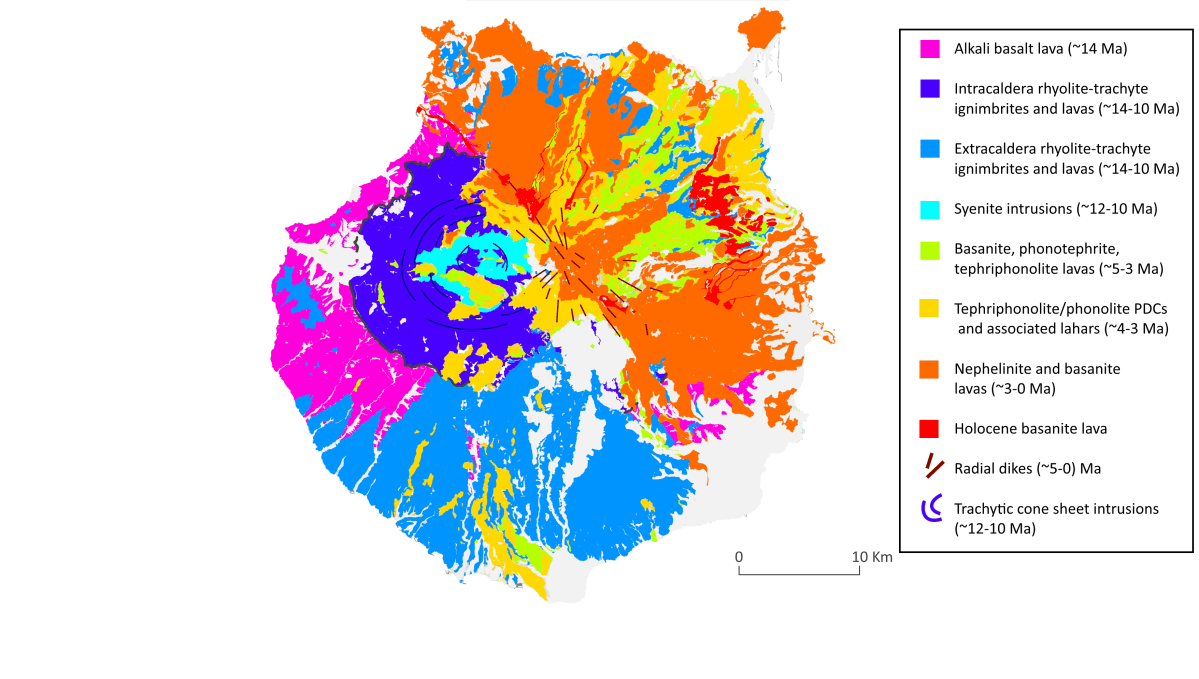
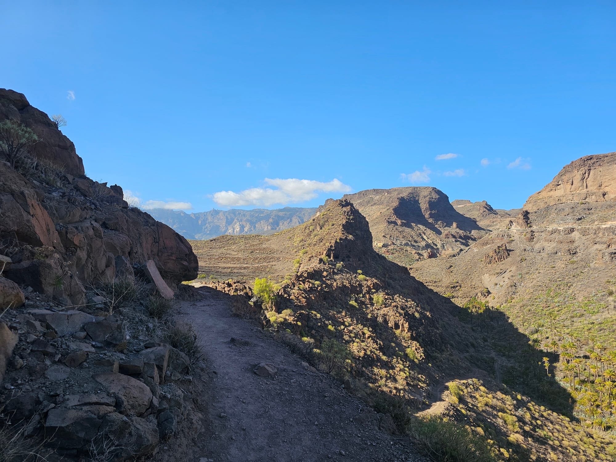
Gran Canaria is a volcanic island, with hot desert climate (very low annual rainfall), with many local microclimates. In general, the north of the island is colder and the south is hotter. The difference in temperature between the north and south can easily be 10°C. When checking the weather forecast, always check the forecast for the specific place you’re going to.
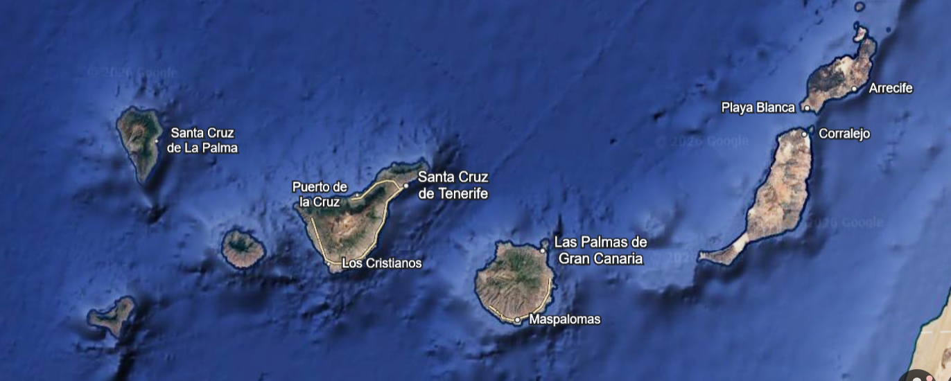
Almost round shape, diameter 50km, it's possible to drive it all around in one day.
Human arrival on the Canary Islands have affected island ecosystems, leading to the extinction of native fauna, changes in vegetation, and the introduction of domesticated animals and plants.
Gran Canaria suffered horrendous deforestation and became the most deforested island of the Canary Islands. The reforestration of the island began in XX century and most of the island summit's trees are there thanks to the programme.
The Gran Canaria Biosphere Reserve
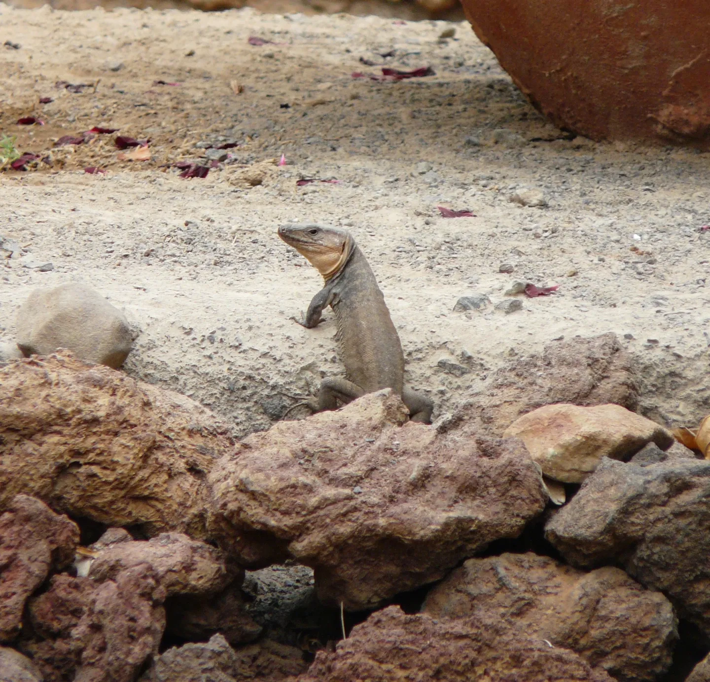
UNESCO: "The island is geologically ancient, at about 14.5 million years, and a history of volcanic construction and destruction have resulted in a geographical area that encompasses the oldest part of the island. Biodiversity across ecosystems is very high, with an outstanding degree of endemism among invertebrates and unique species of birds and reptiles, as well as great floristic diversity on large cliffs. In addition to ecosystems ranging from peaks to beaches and marine areas, the Gran Canaria Biosphere Reserve includes valleys under agricultural and traditional use, an intricate set of steep ravines, and geological landmarks of great interest."

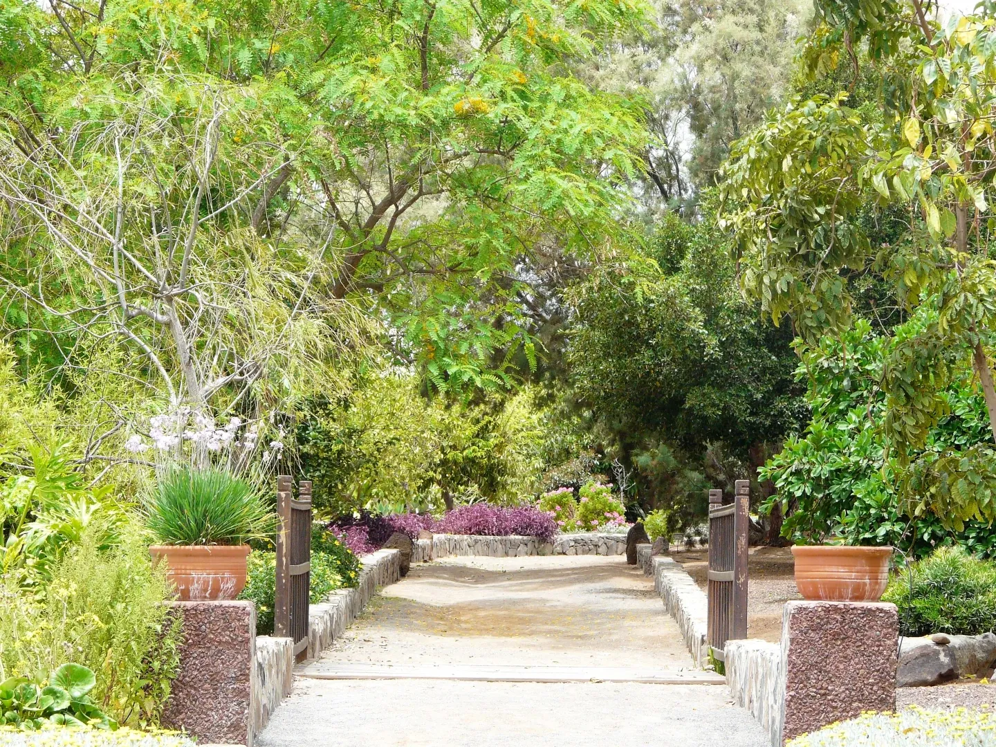
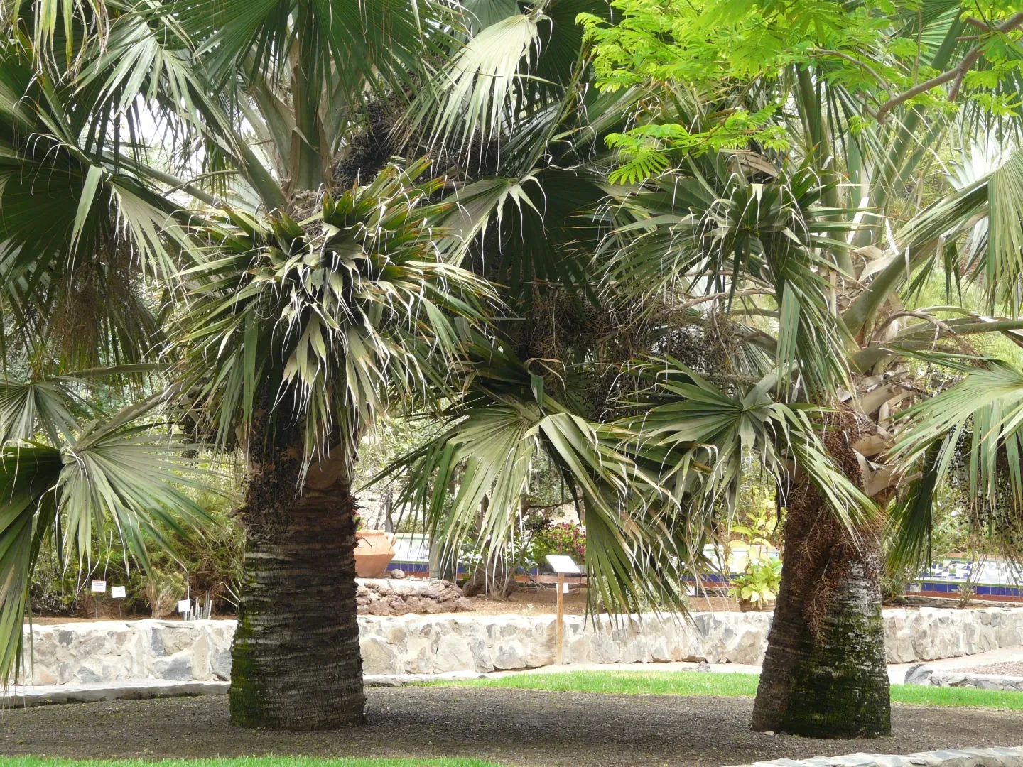
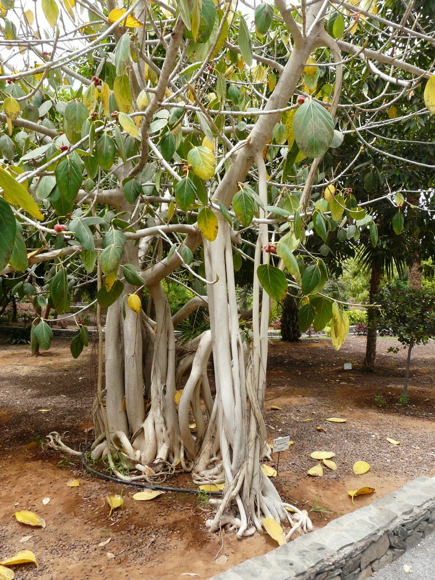
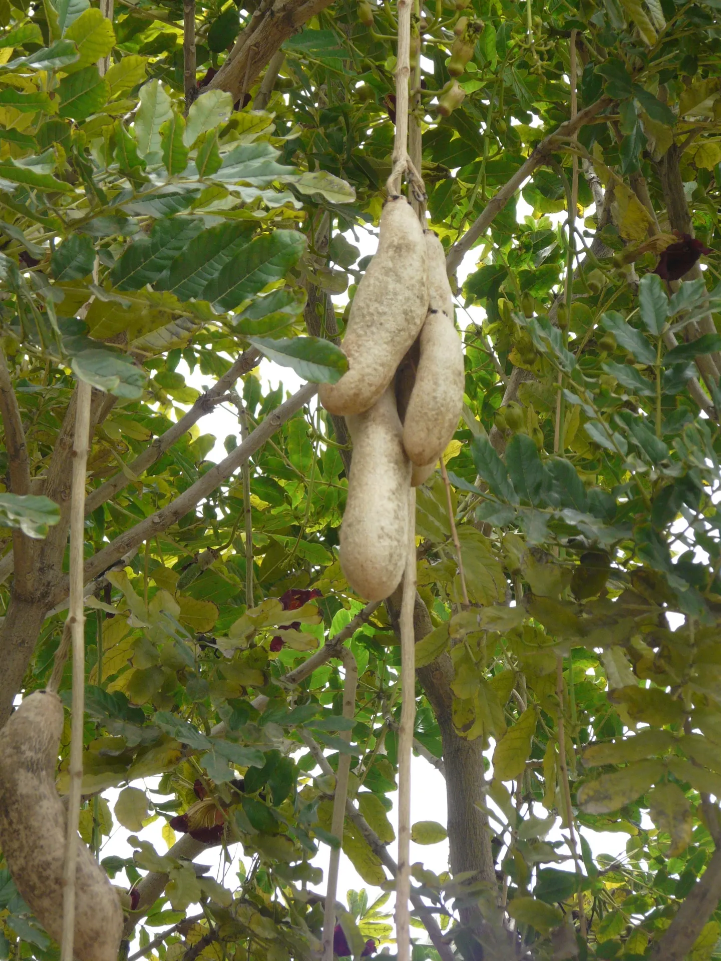
Maspalomas Botanic Garden
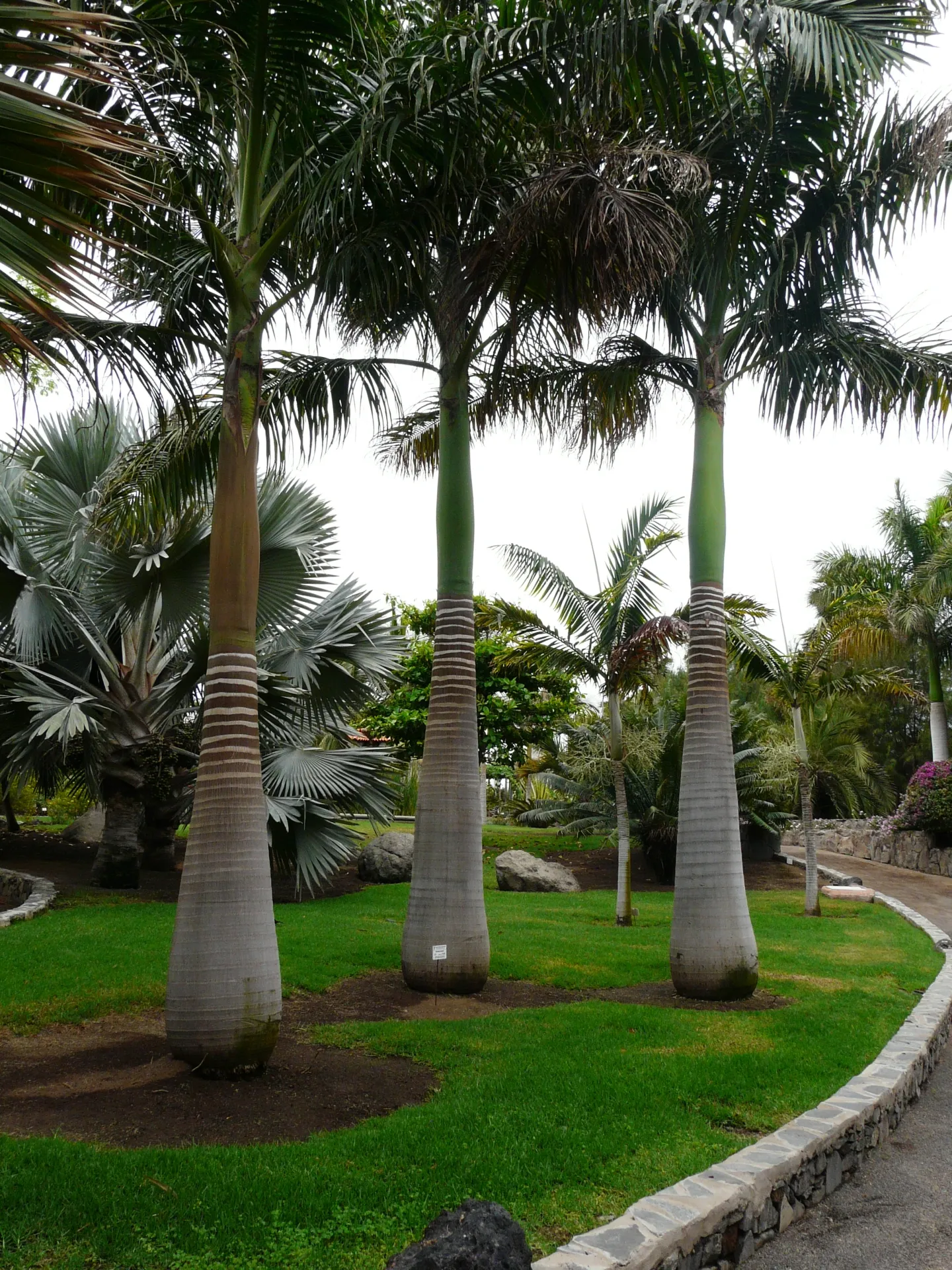
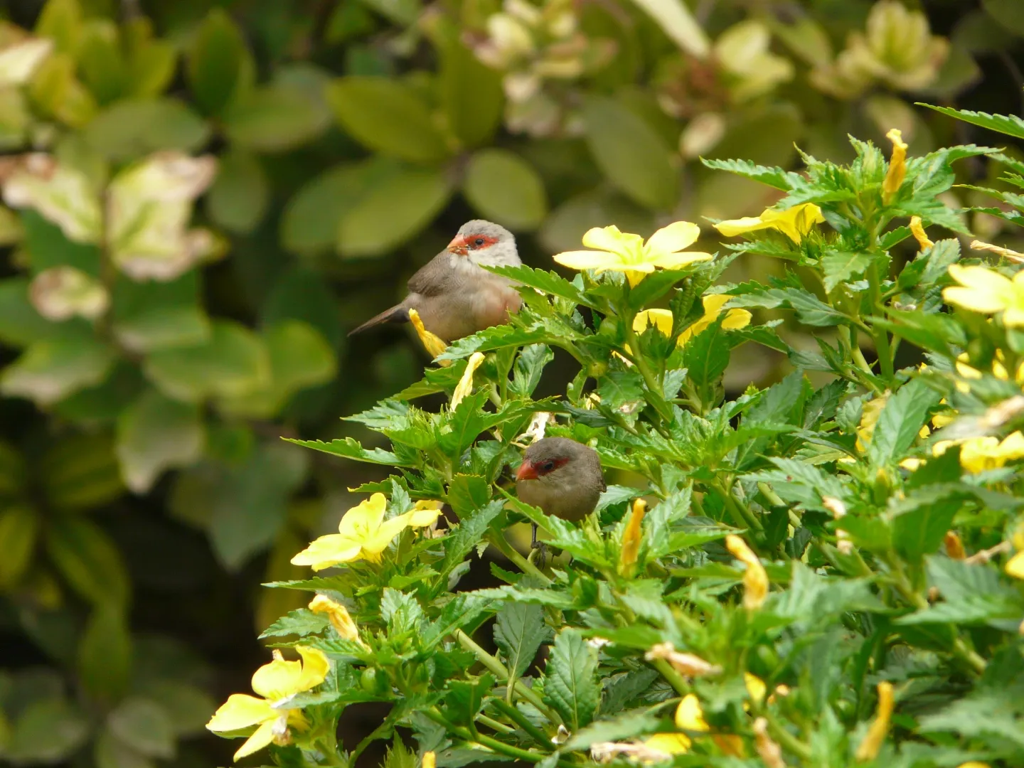
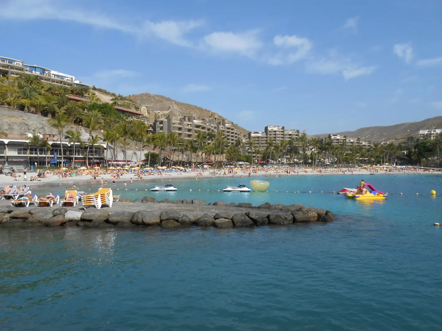
Playa de Amadores, Puerto Rico
Sandy beach, very safe for children and the best place to swim when it’s windy. The downside is that it’s always very busy. Sometimes it’s hard to find a free spot on the beach or somewhere to park the car.
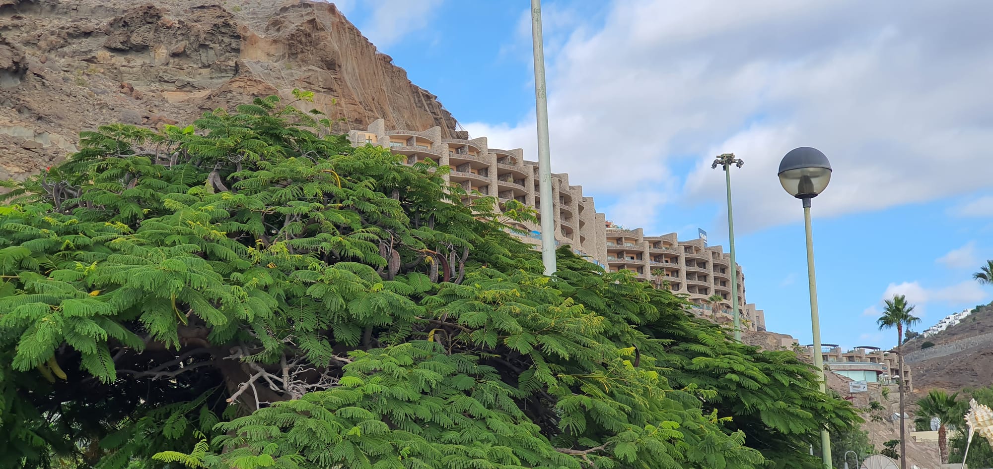
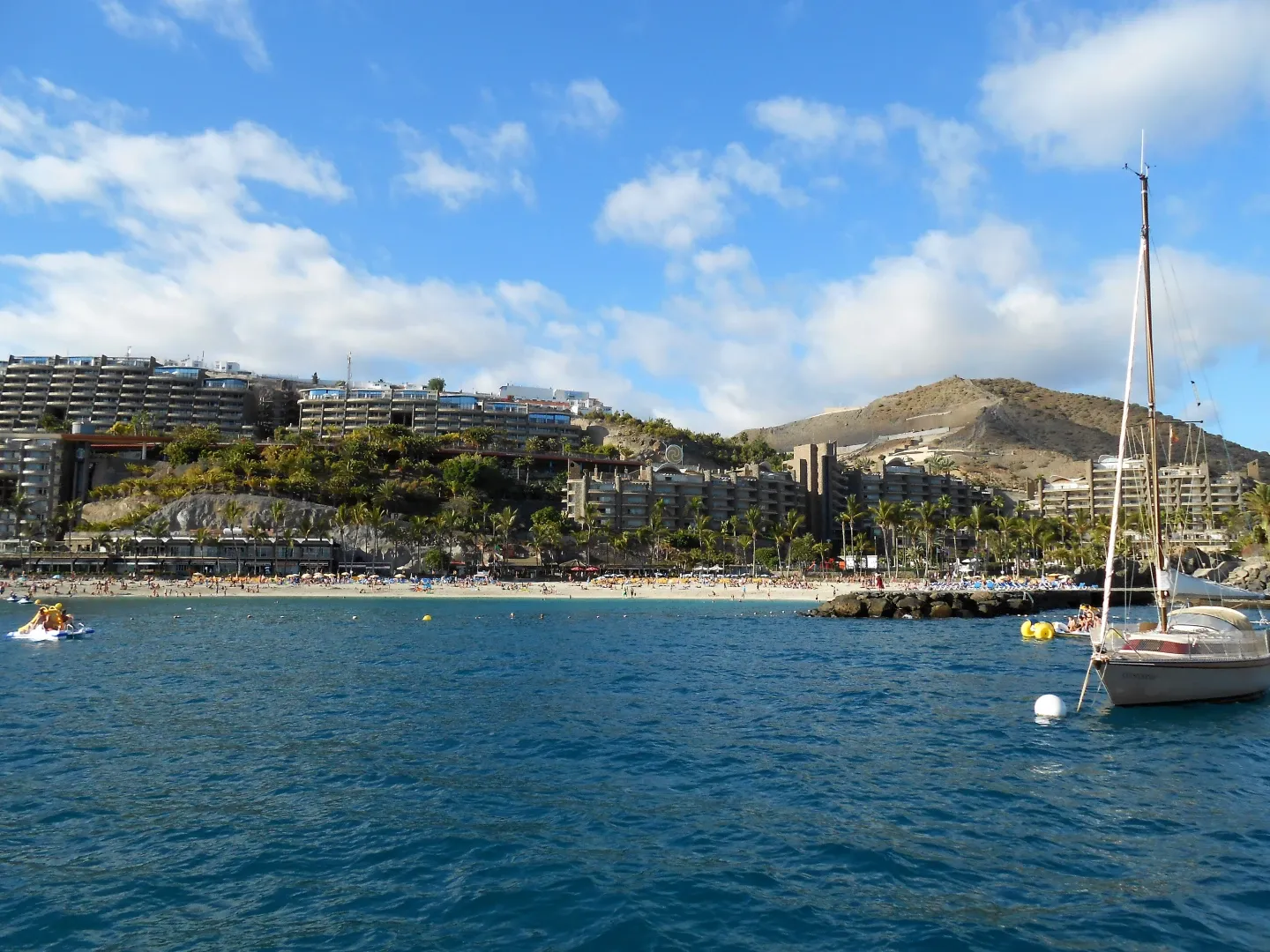
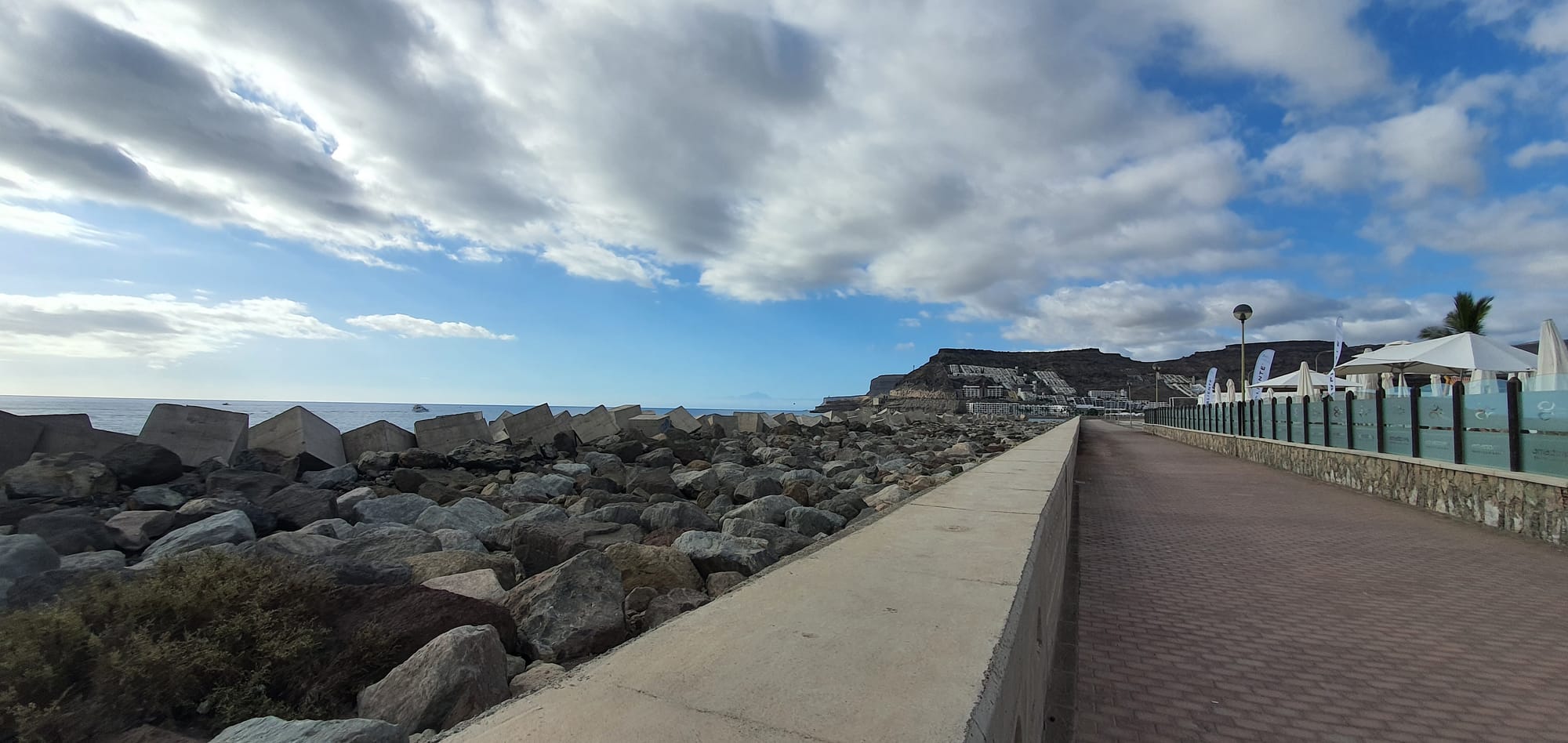
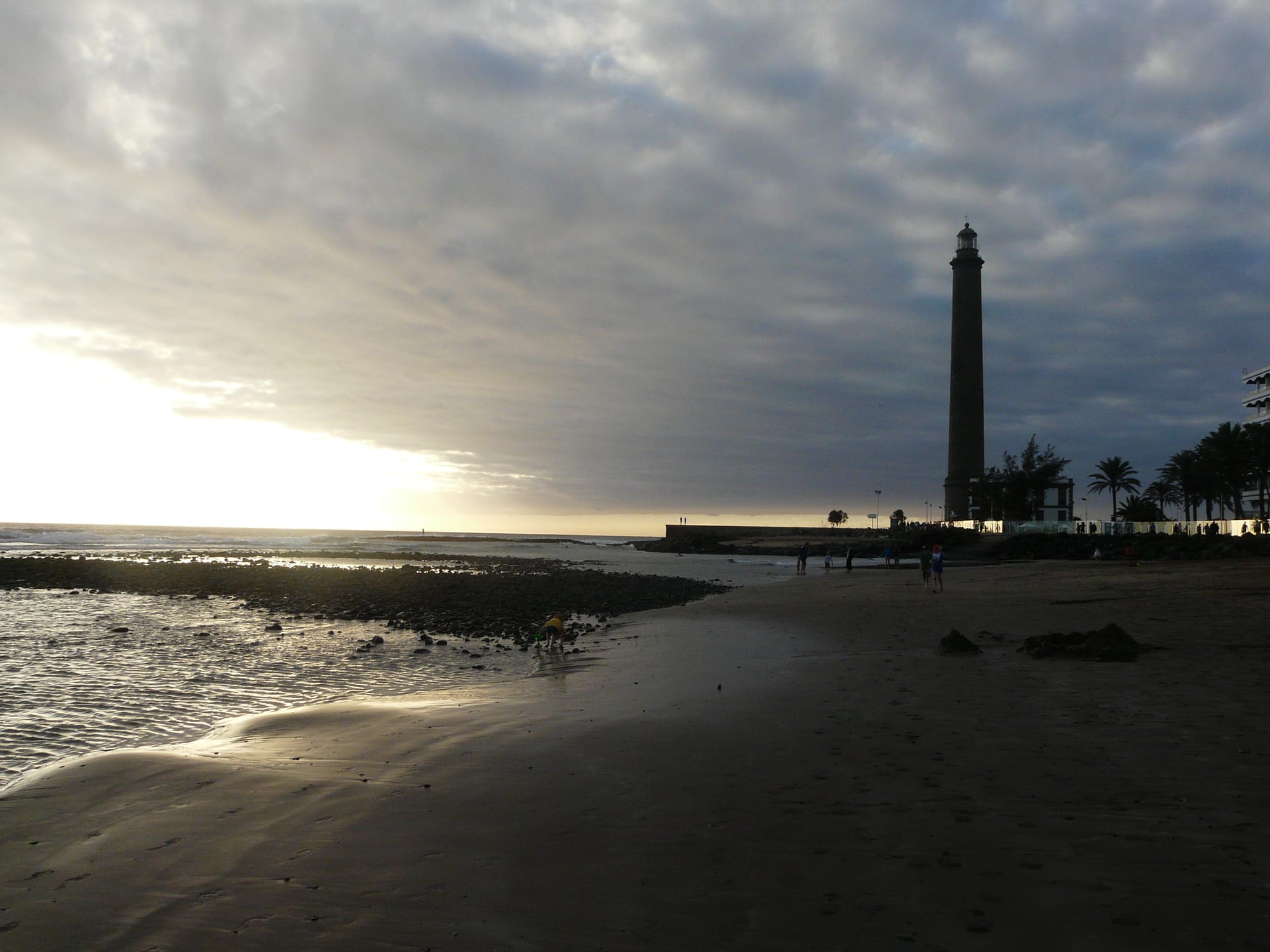
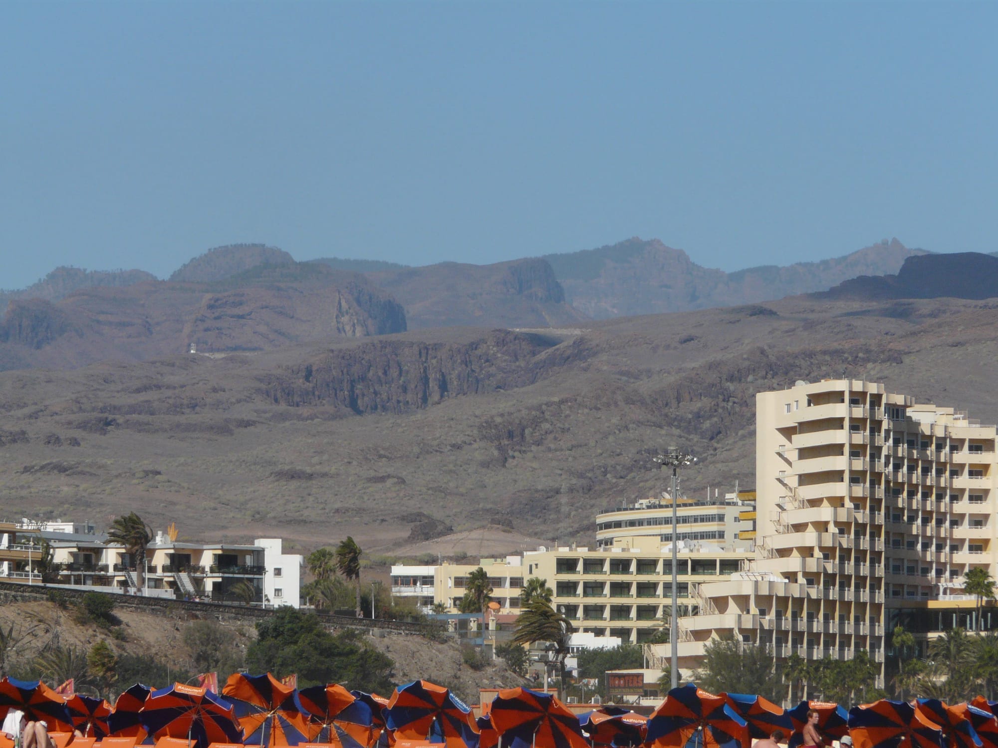
Faro de Maspalomas (the lighthouse), The view from Playa del Ingles (Maspalomas)
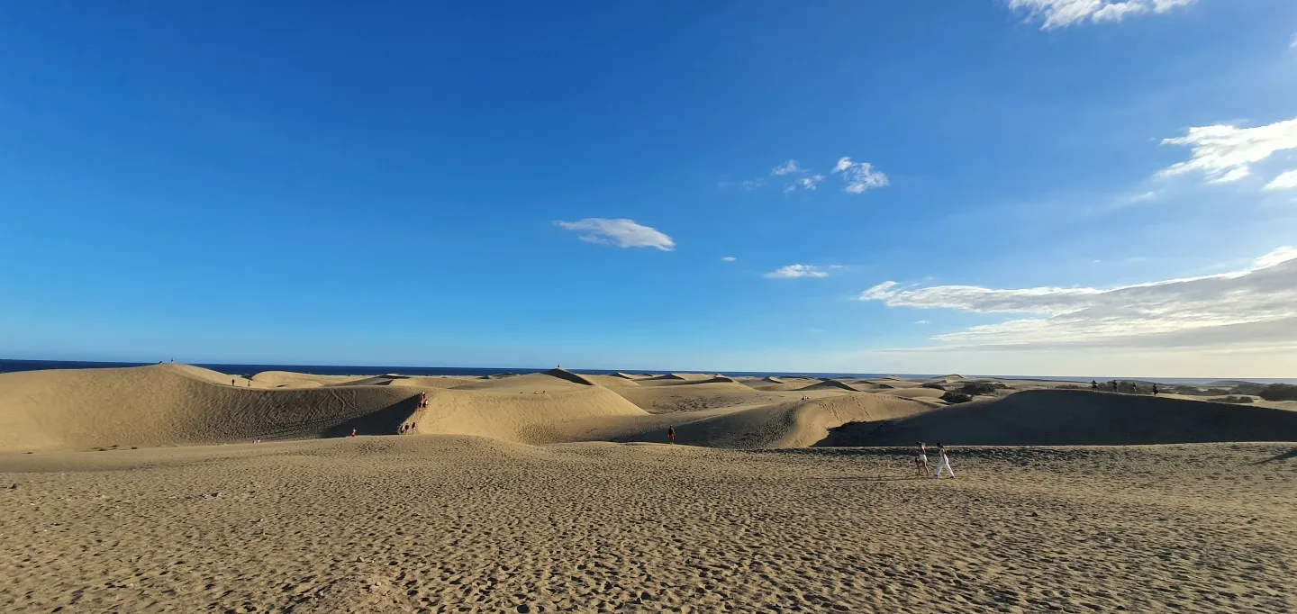
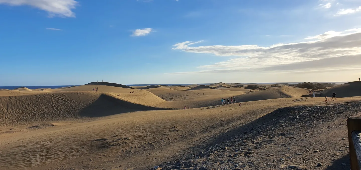
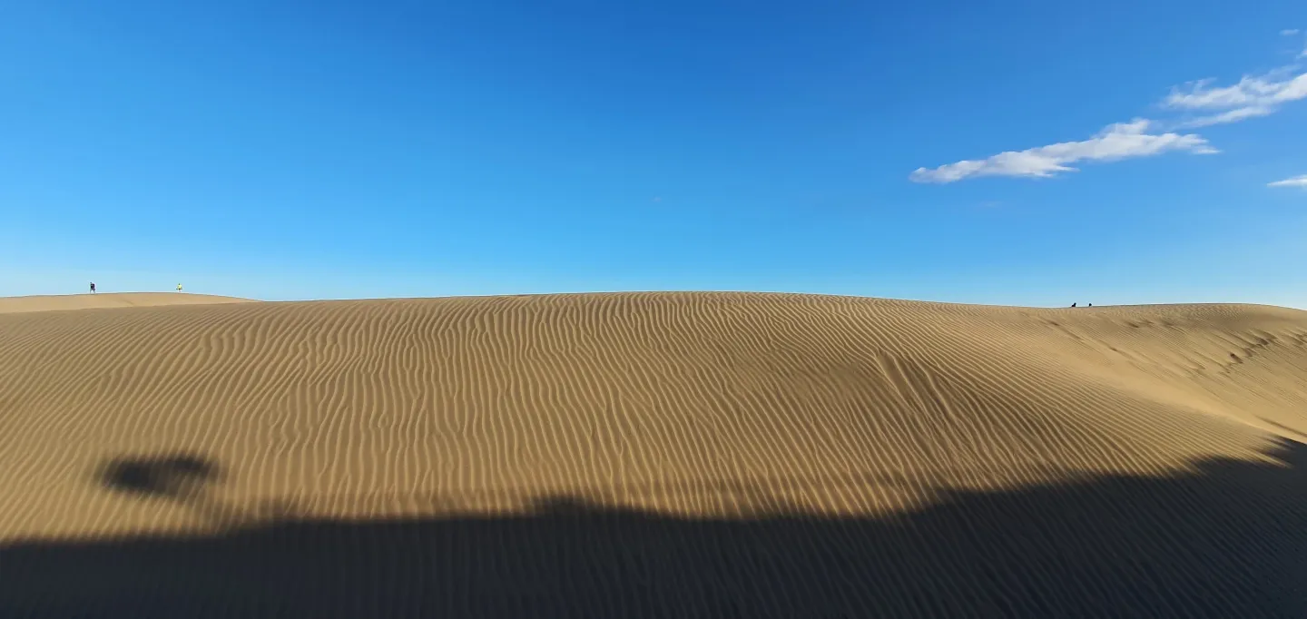
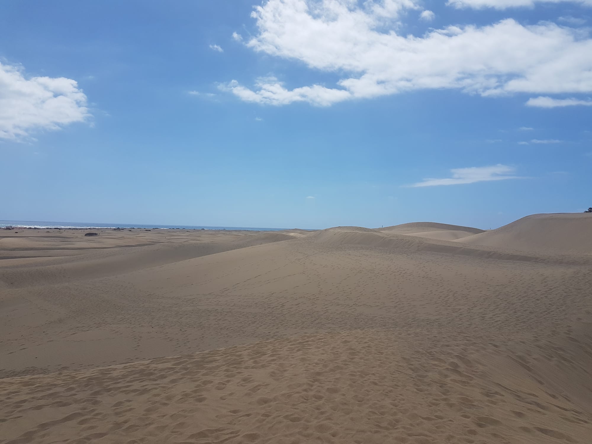
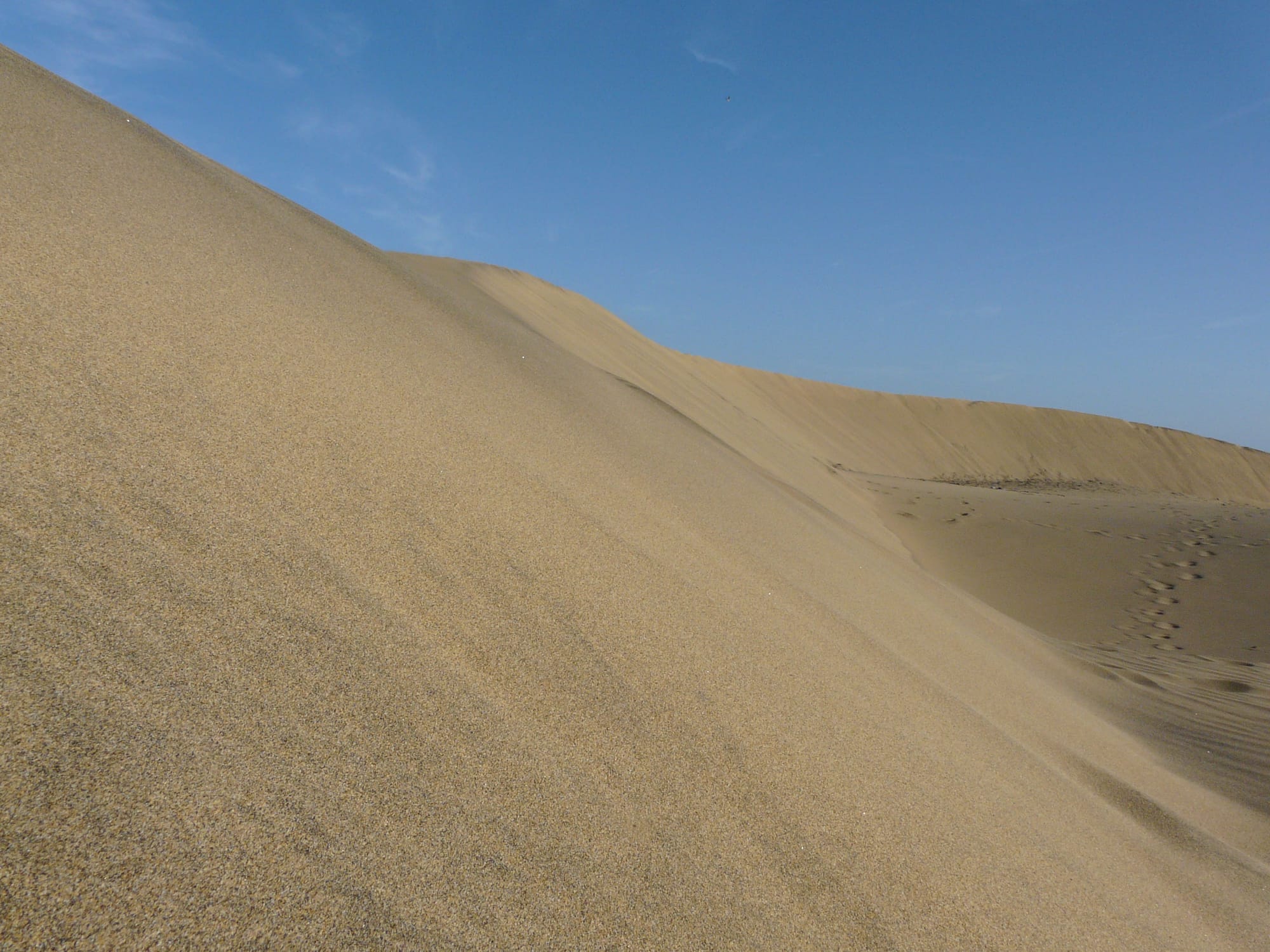
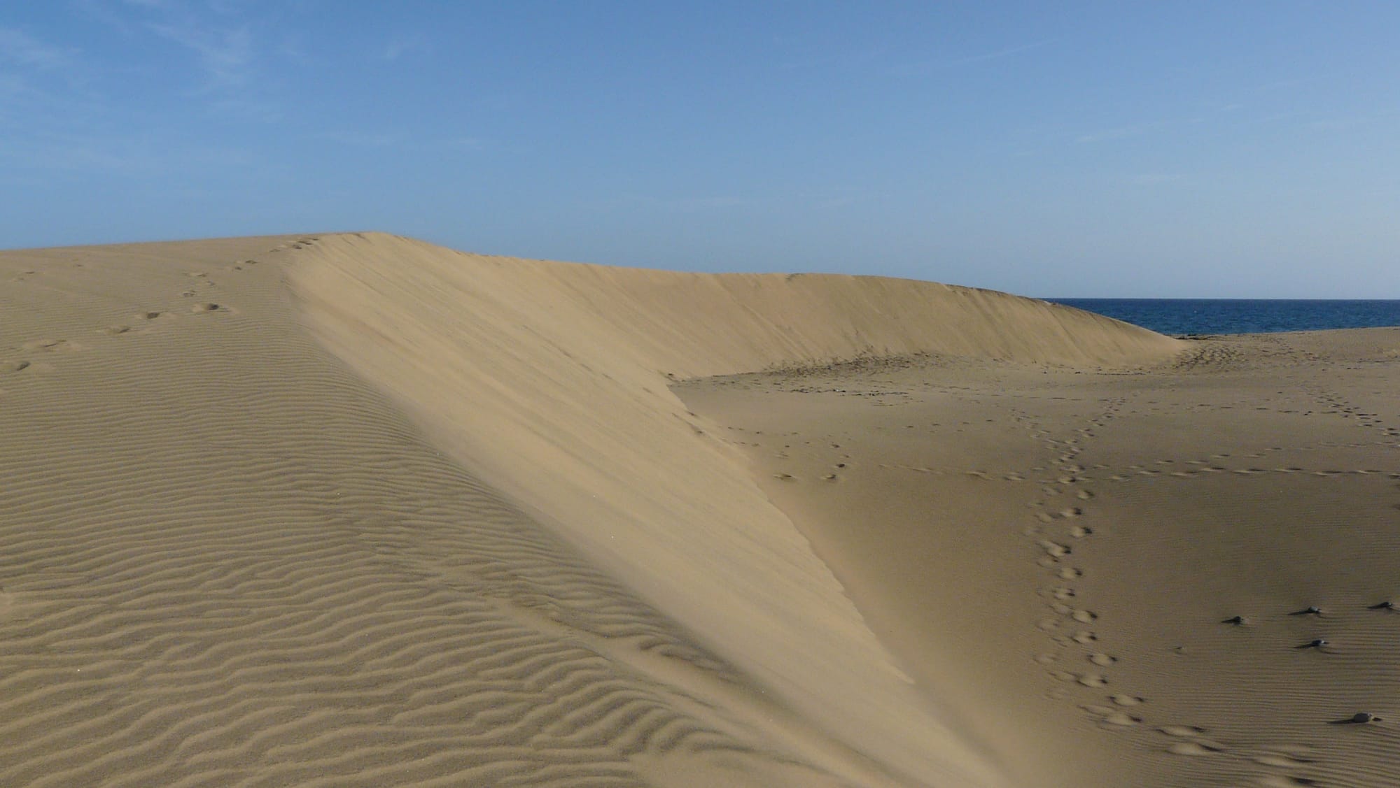
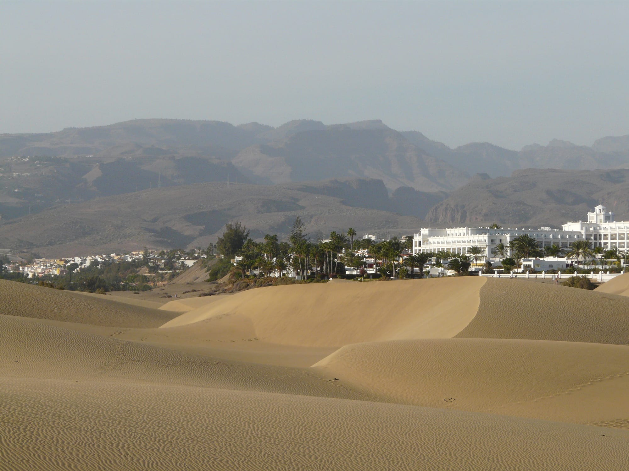
The Maspalomas Dunes
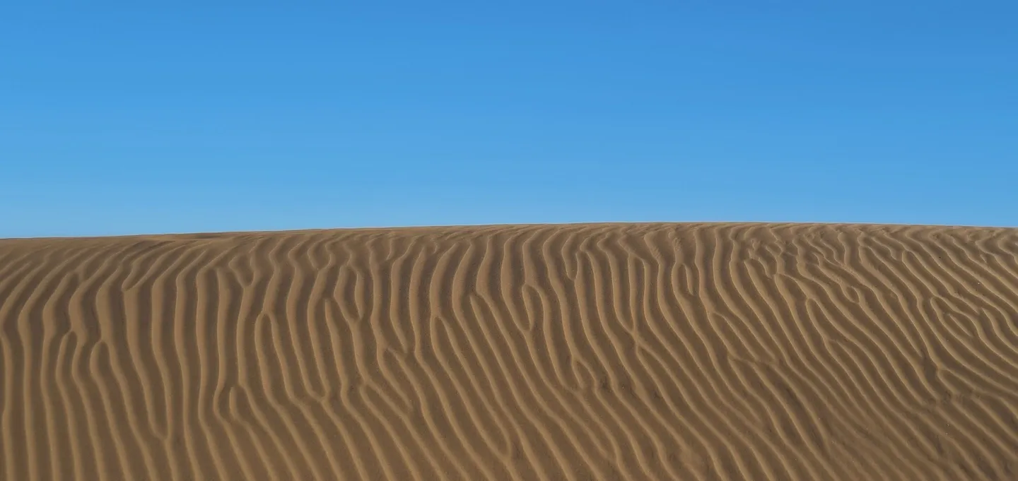
Shaped by wind and sea, this fragile dune system is home to a variety of plants and wildlife protected by the Dunas de Maspalomas Special Nature Reserve.
Since the 1960s, tourism development has significantly altered the beach–dune system. The dunes were first protected in 1982 and formally designated as a protected natural area in 1987. They became the Reserva Natural Especial de las Dunas de Maspalomas in 1994.
Dolphins can often be spotted in the waters along the coast. If you’re planning a dolphin-watching trip, check where the boats depart from, as well as the company’s reviews and feedback, before booking.
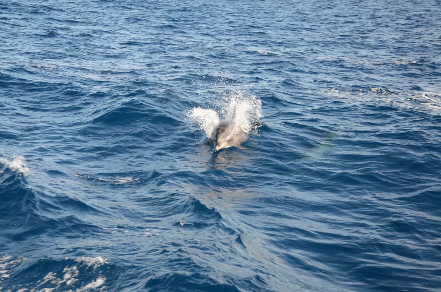
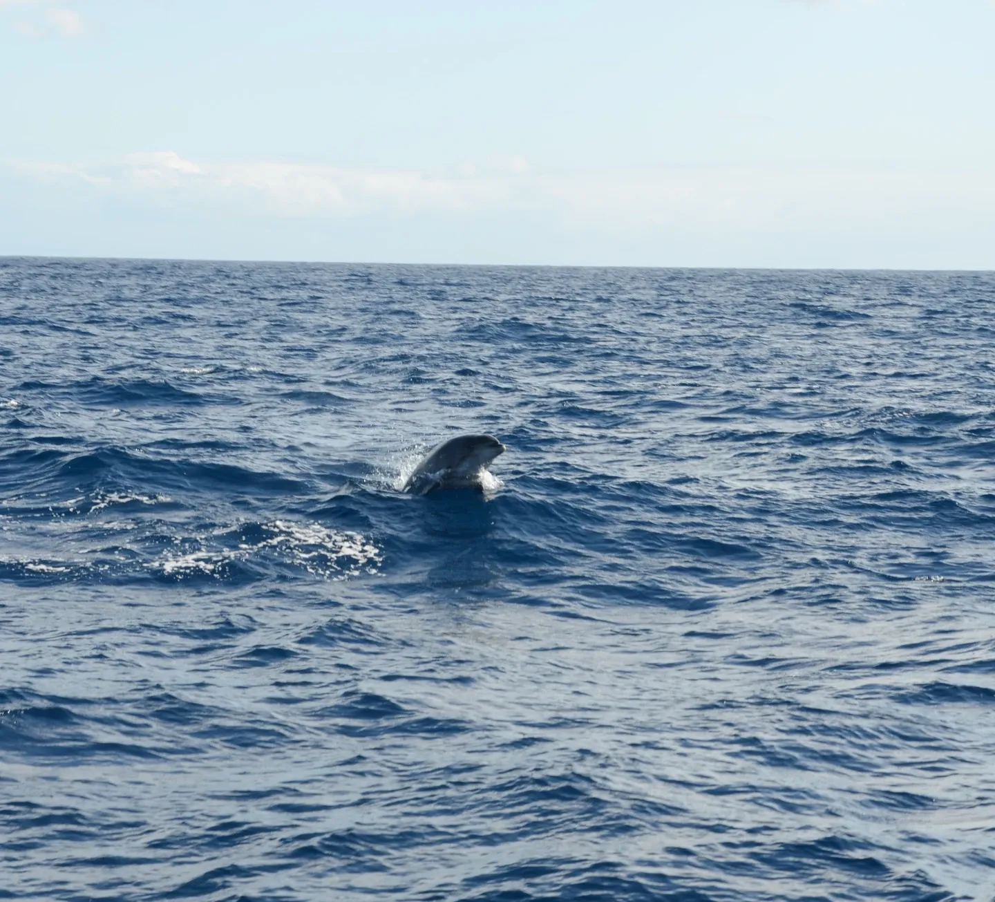
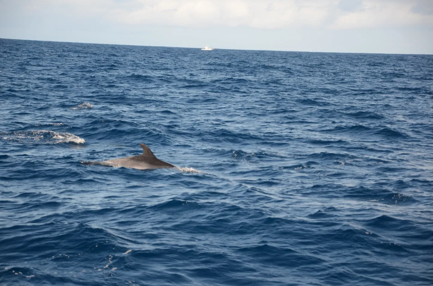
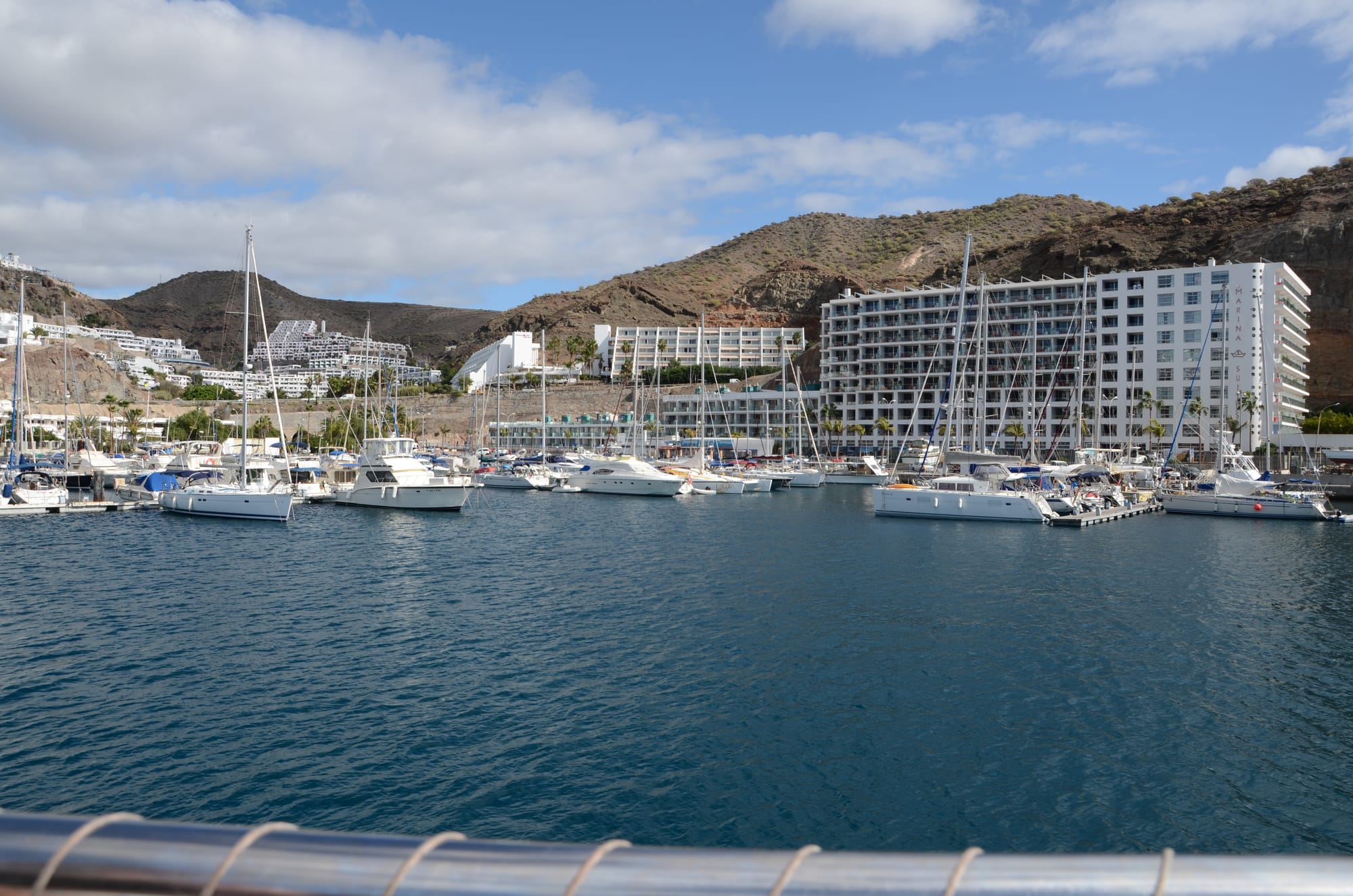
Dolphins, Puerto Rico marina
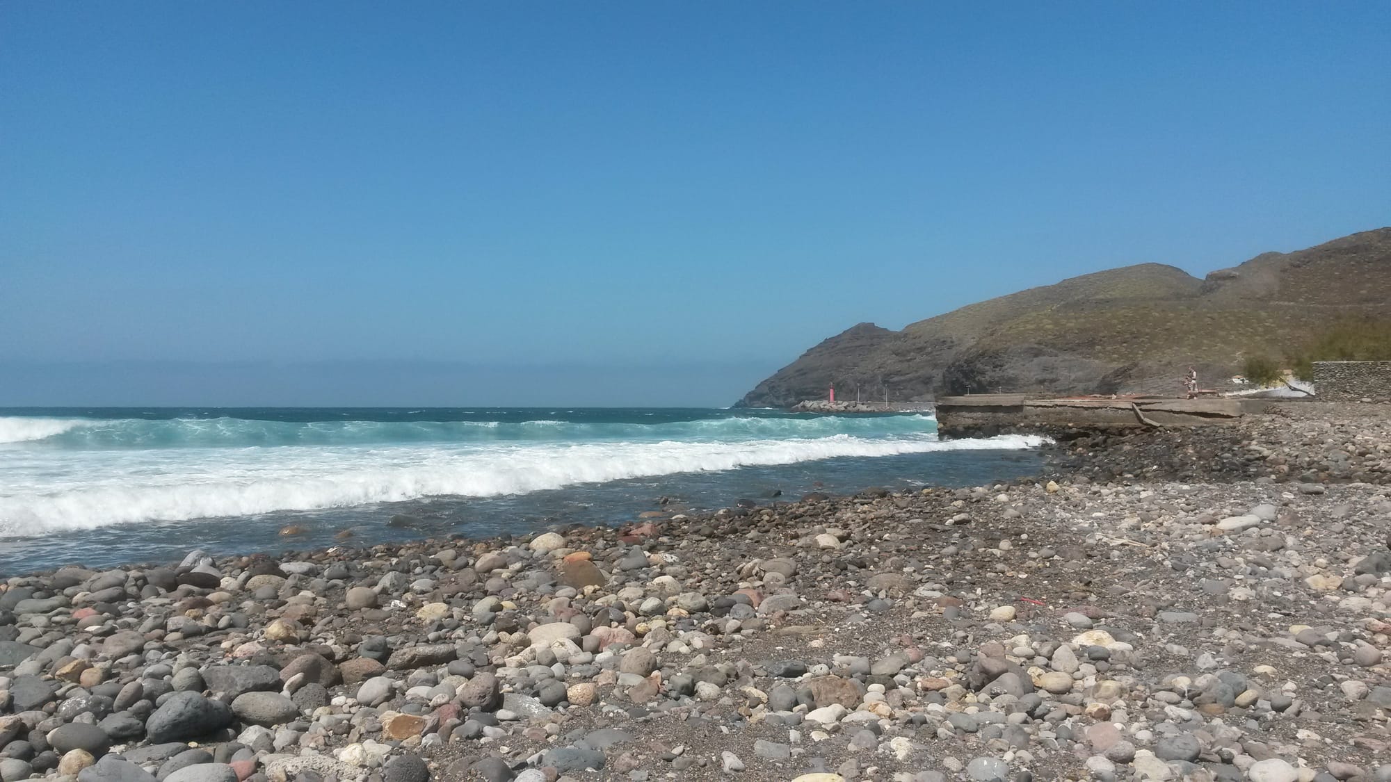
Beaches
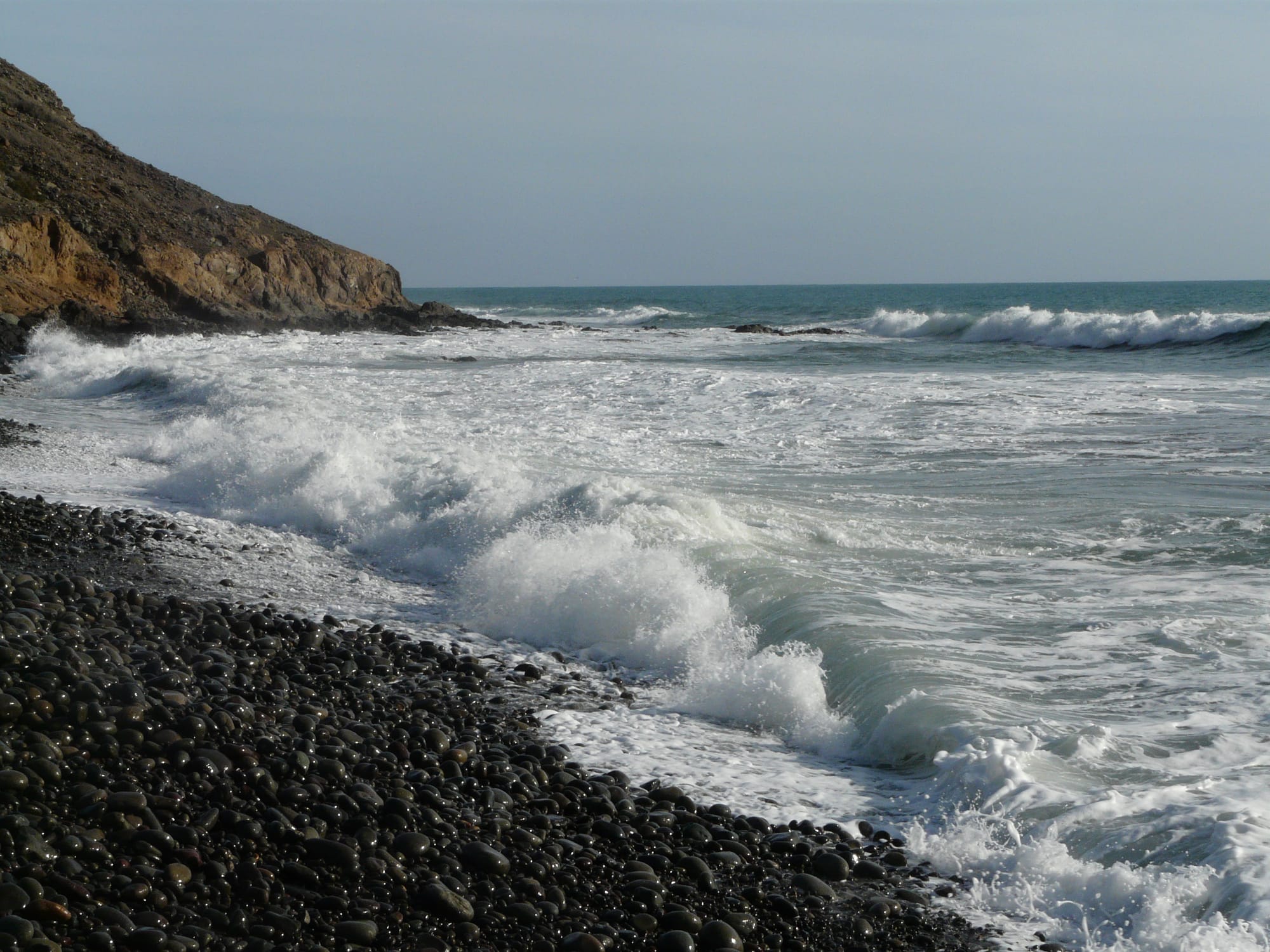
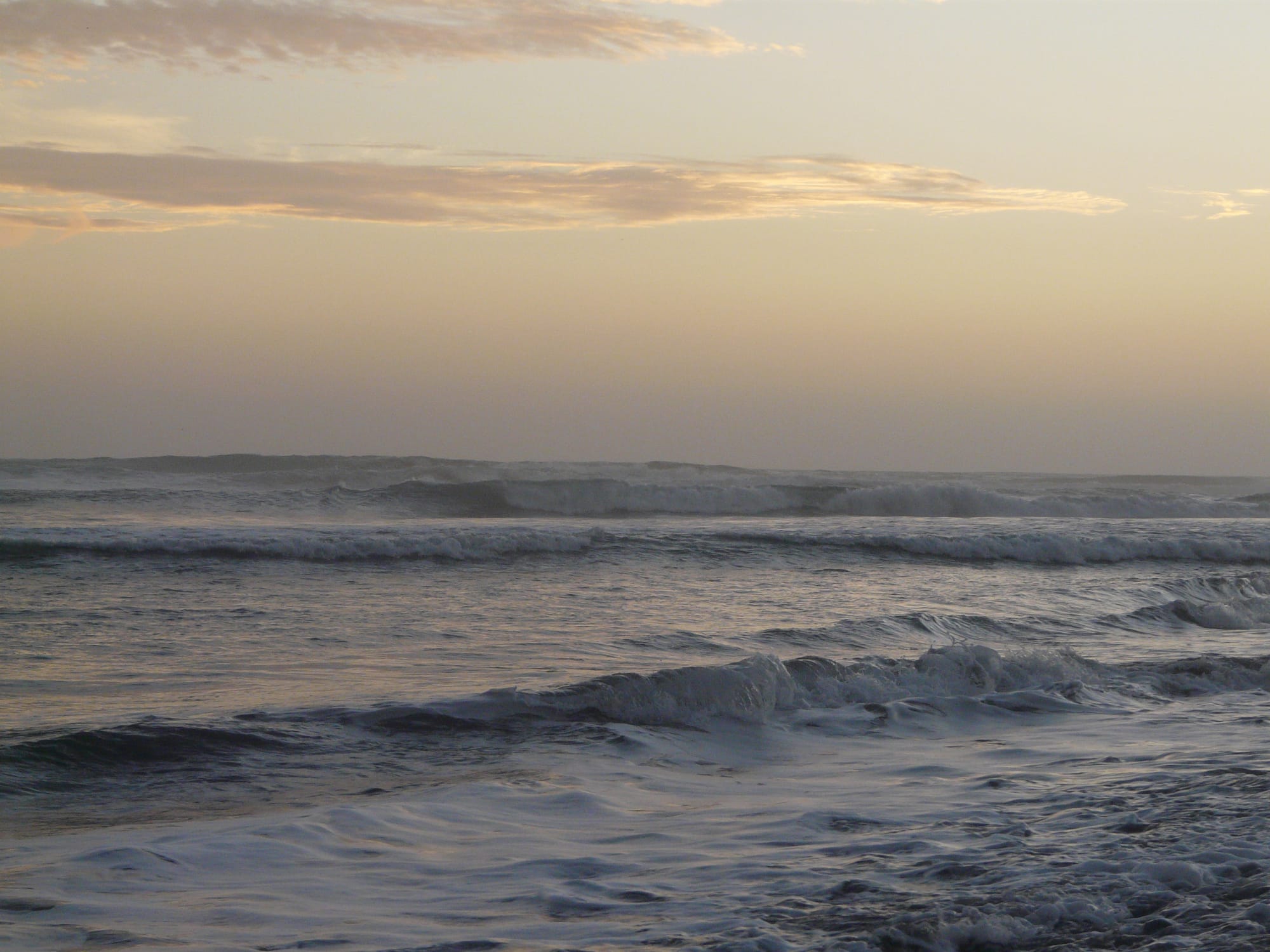
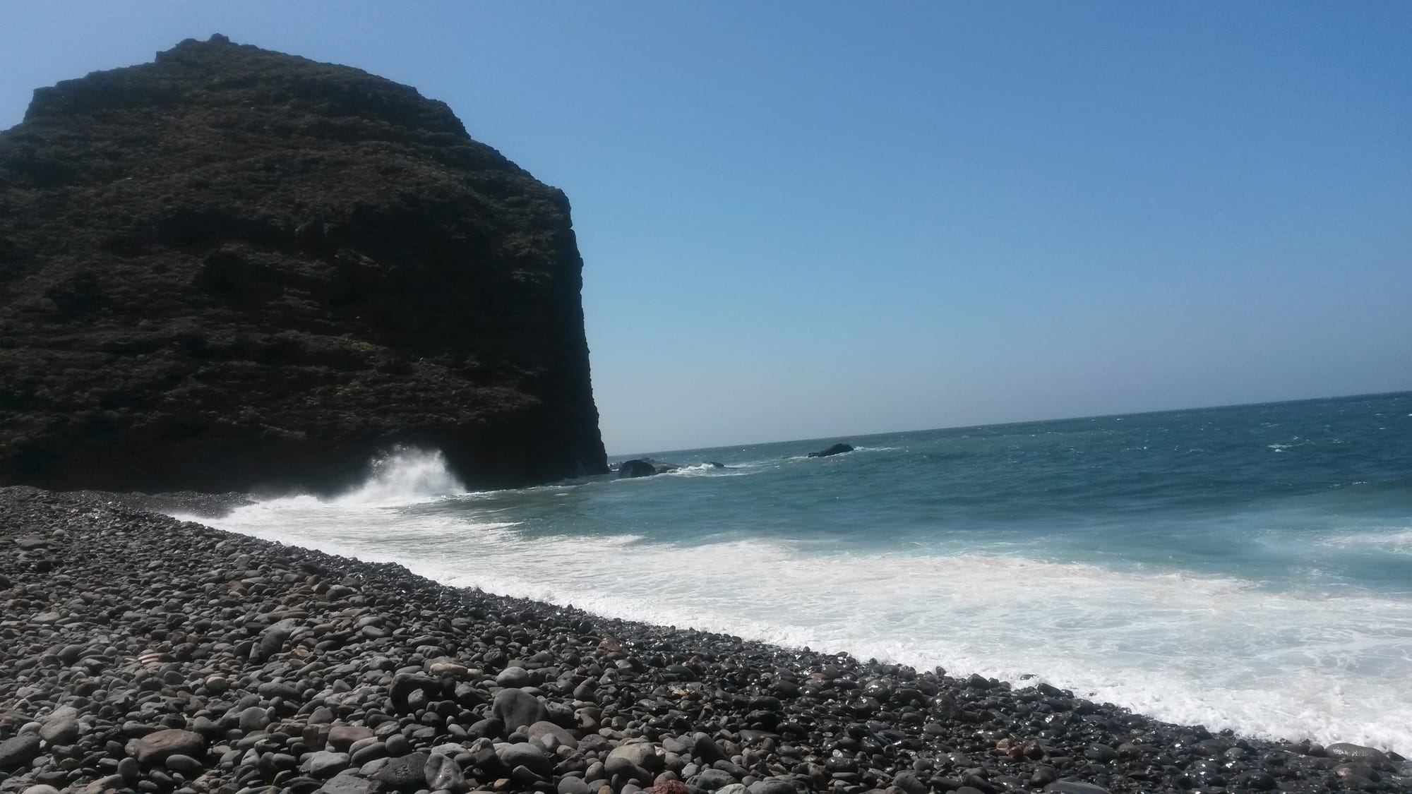
Guayedra Beach (near Agaete)
Necrópolis de Arteara
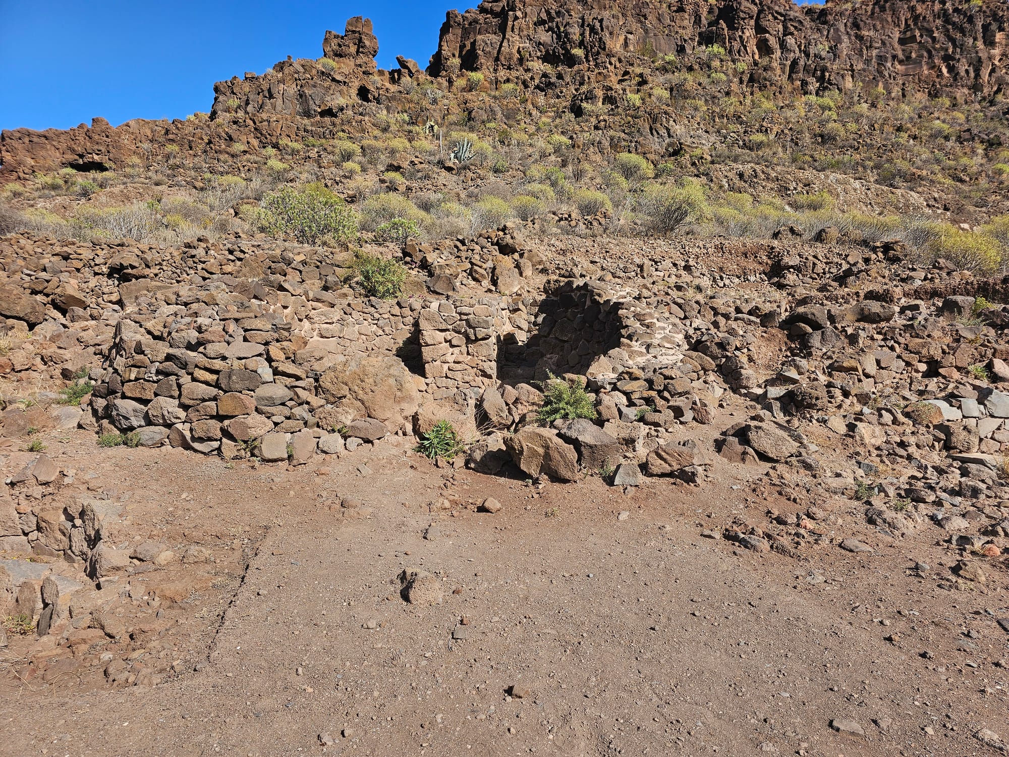
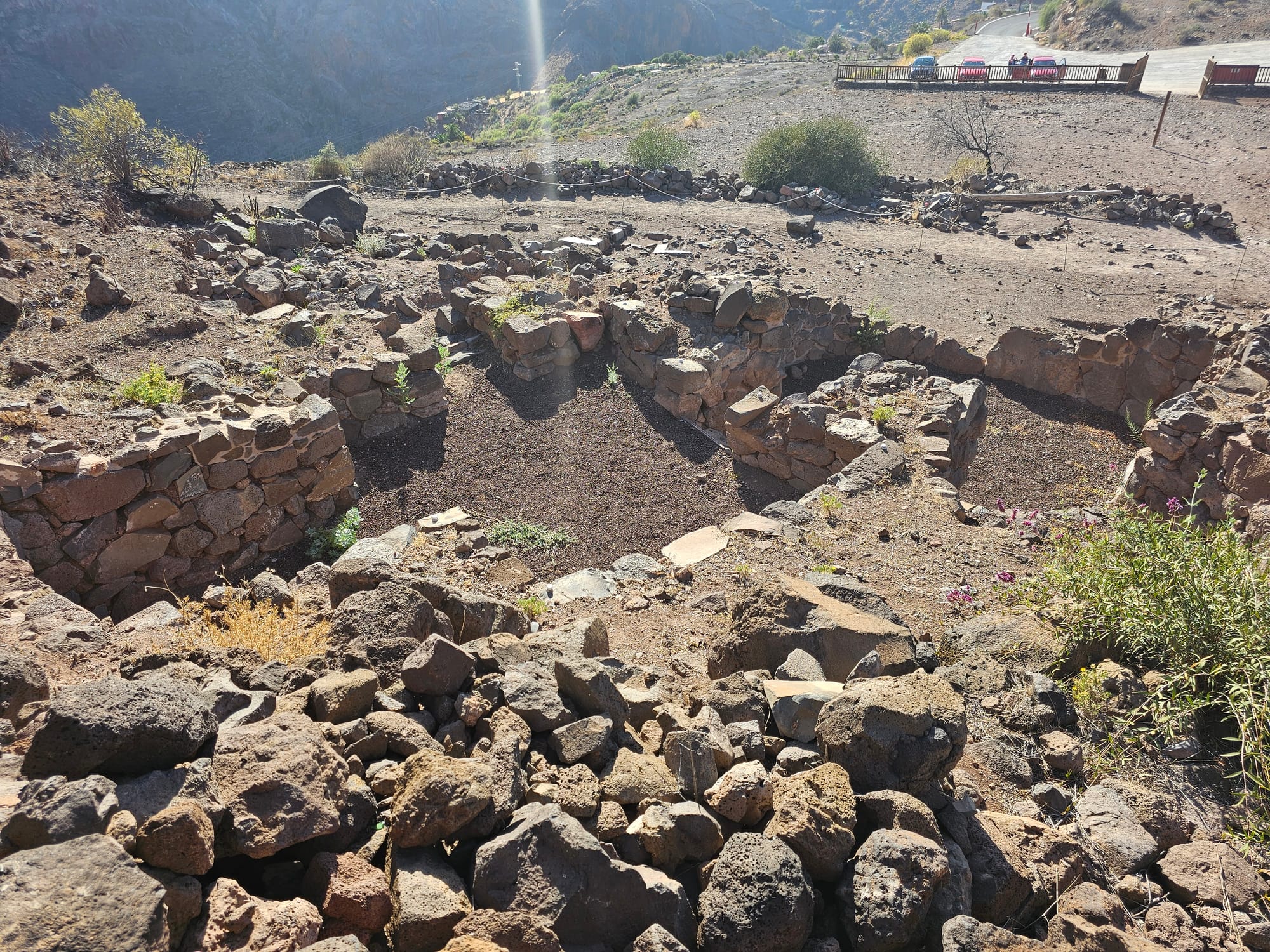
The largest aboriginal cemetery of its kind on the island


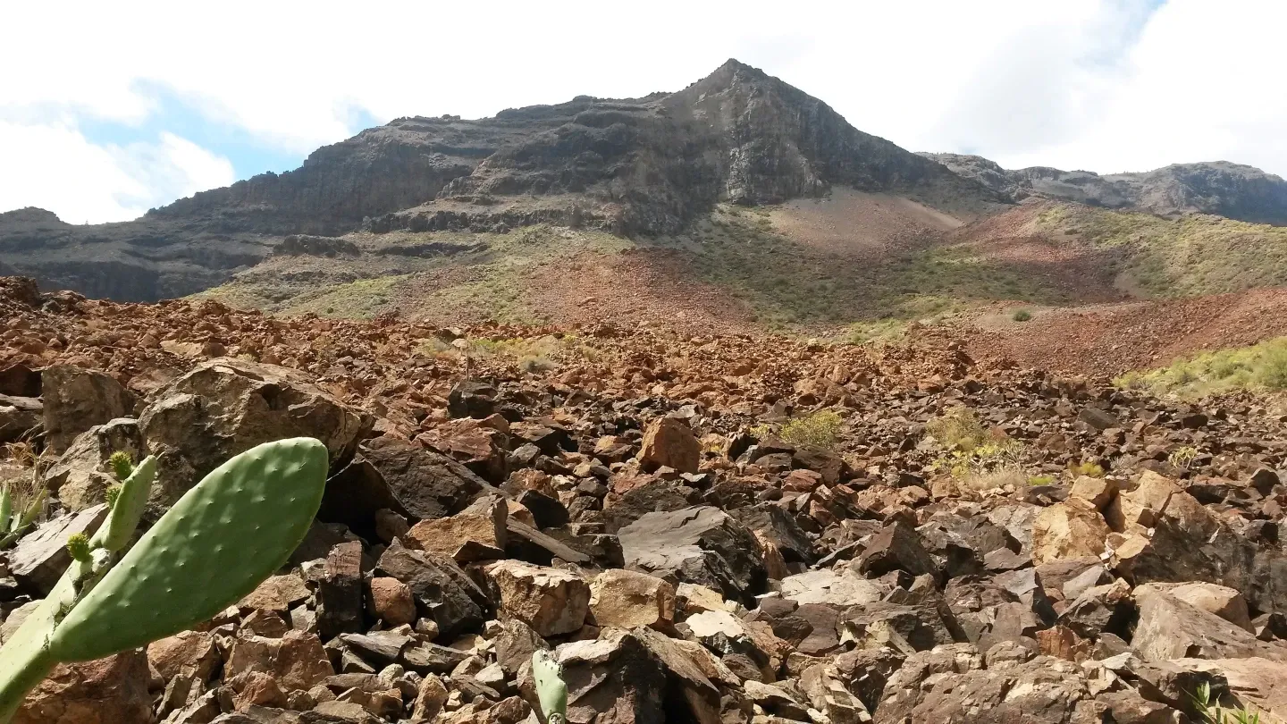
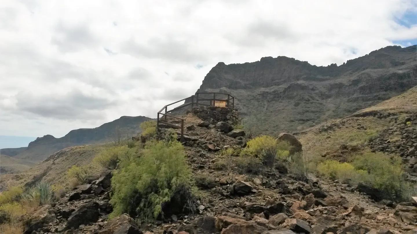
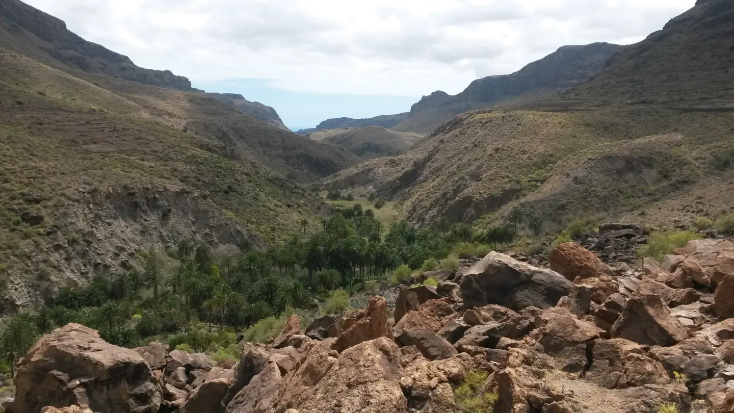
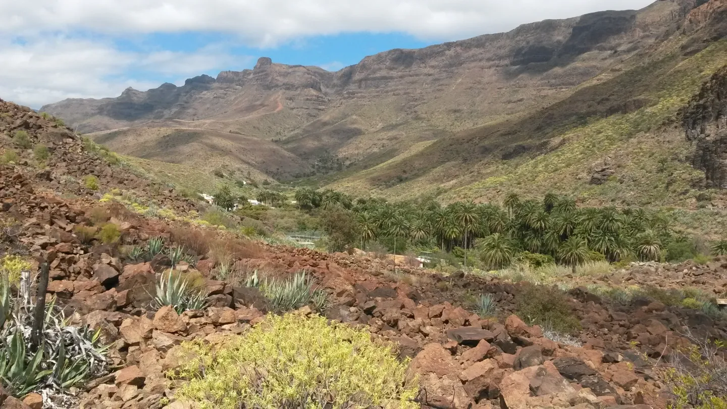
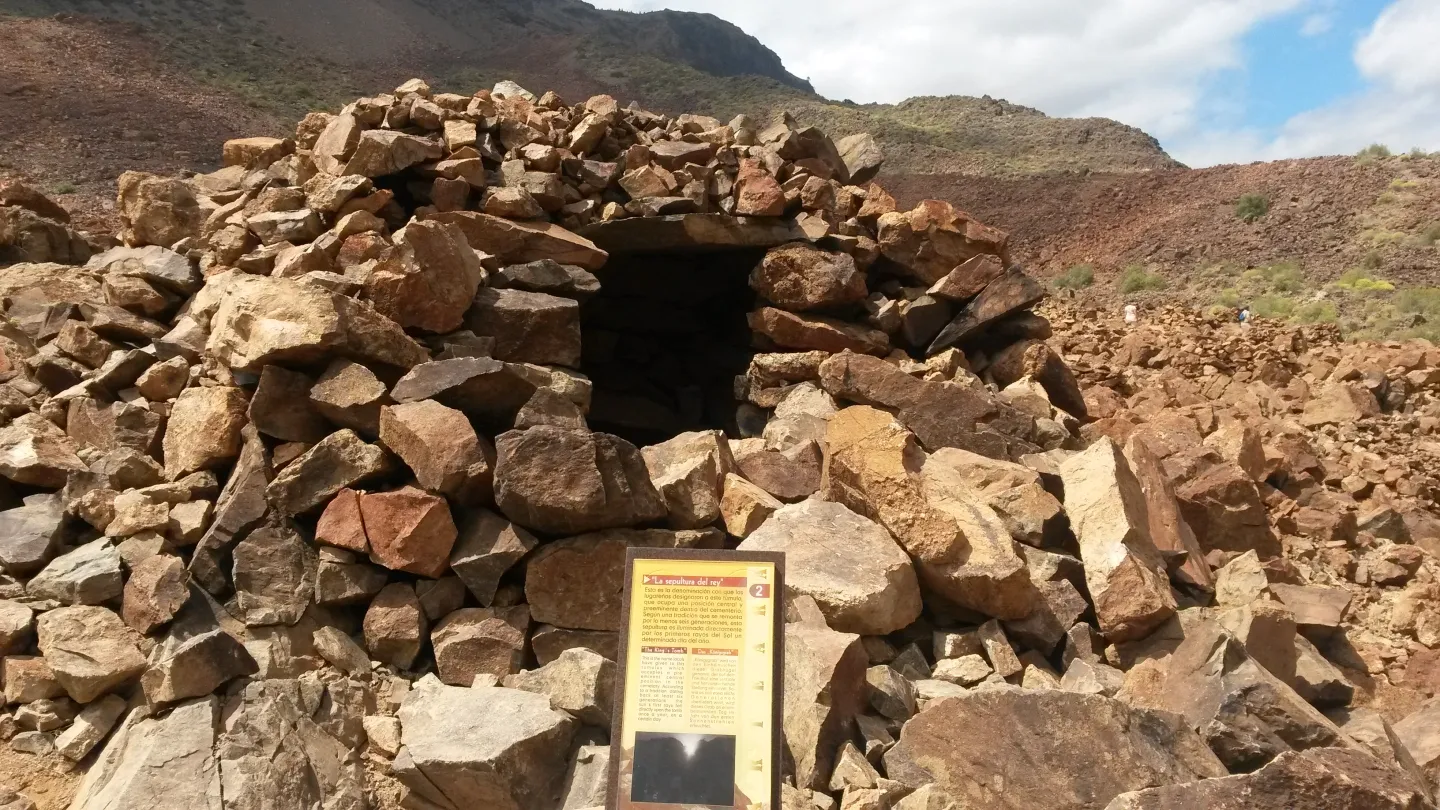
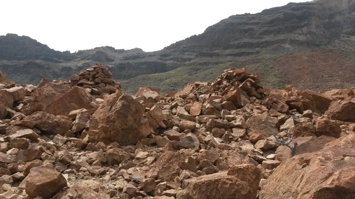
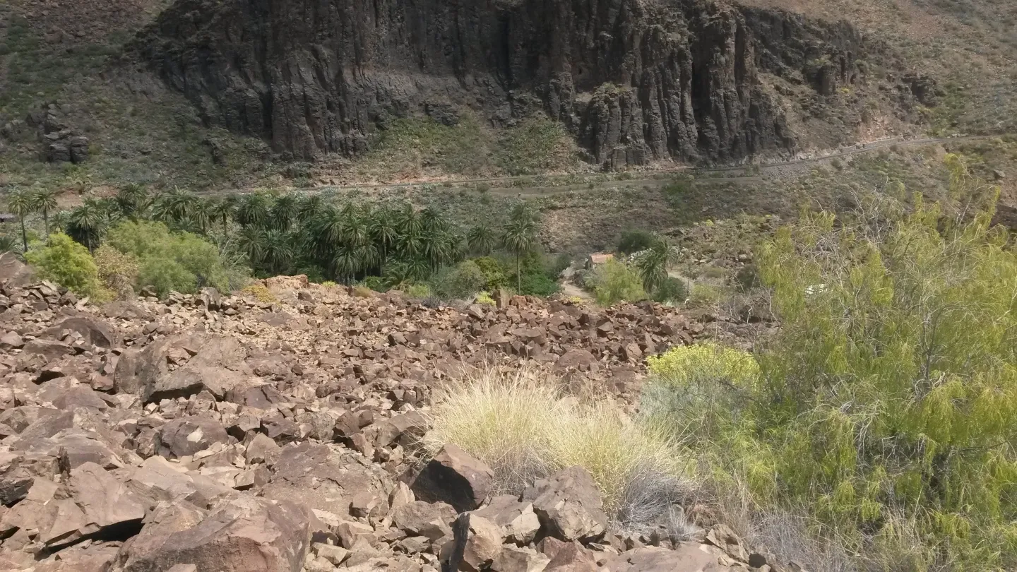
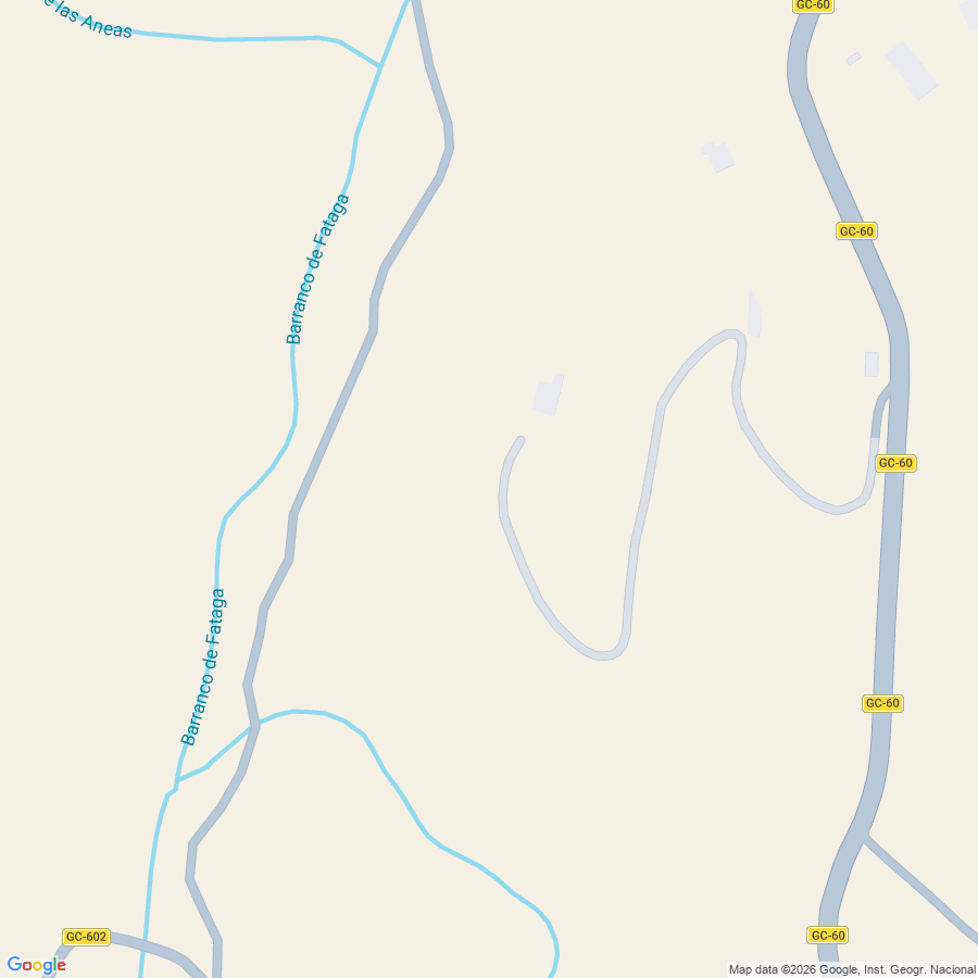
Baranco de Fataga
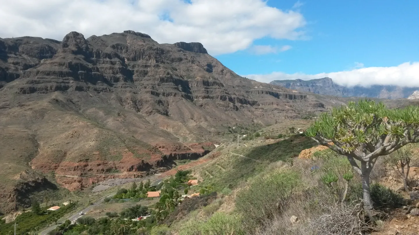
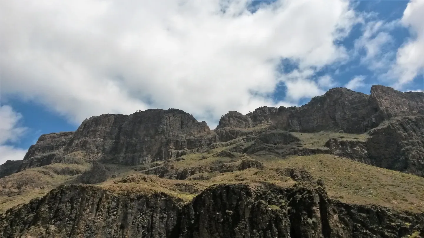
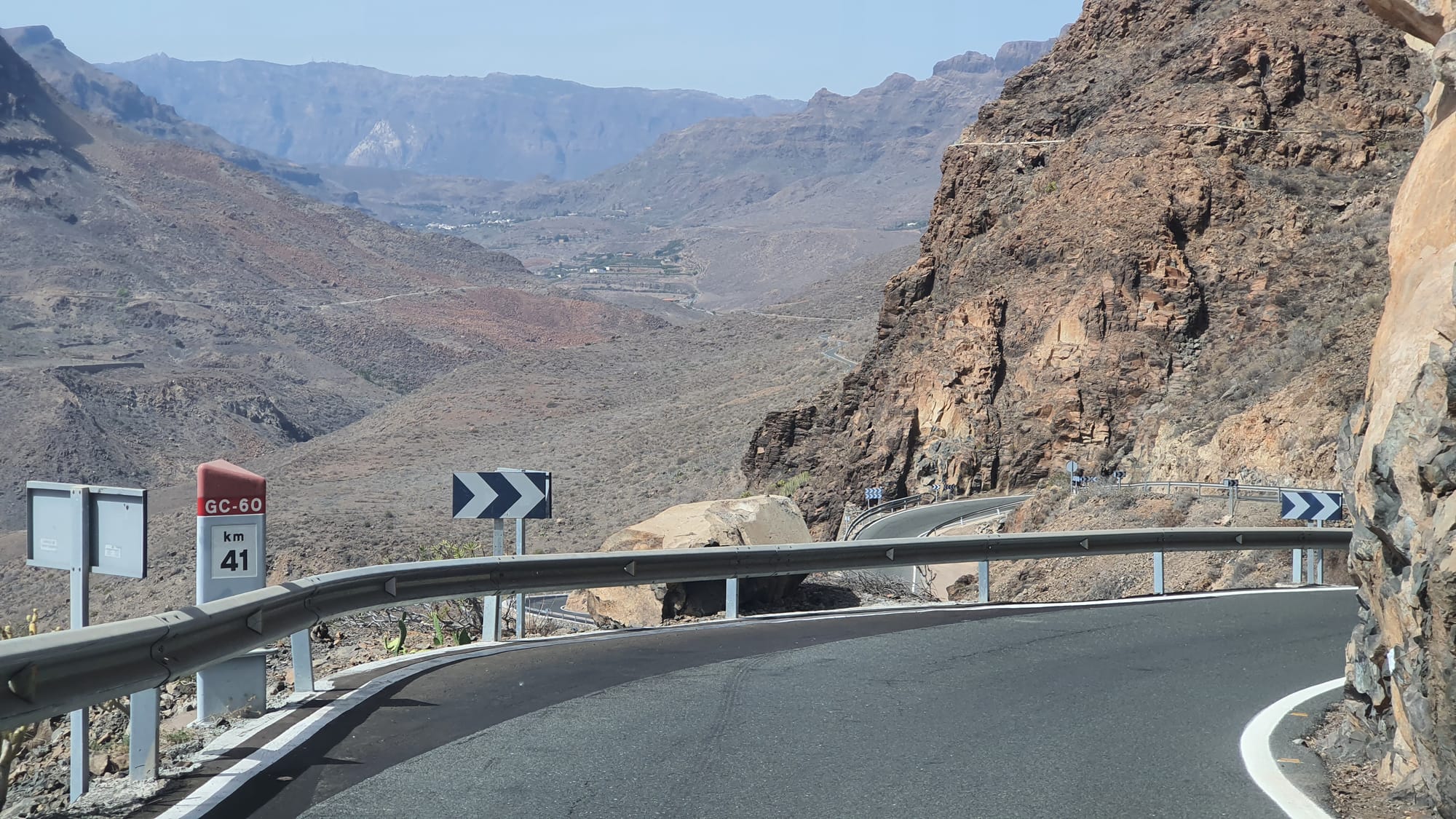
Baranco de Fataga, road GC-60
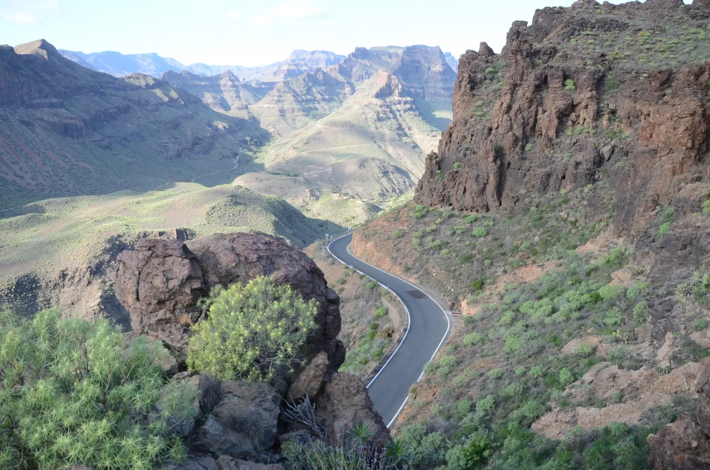
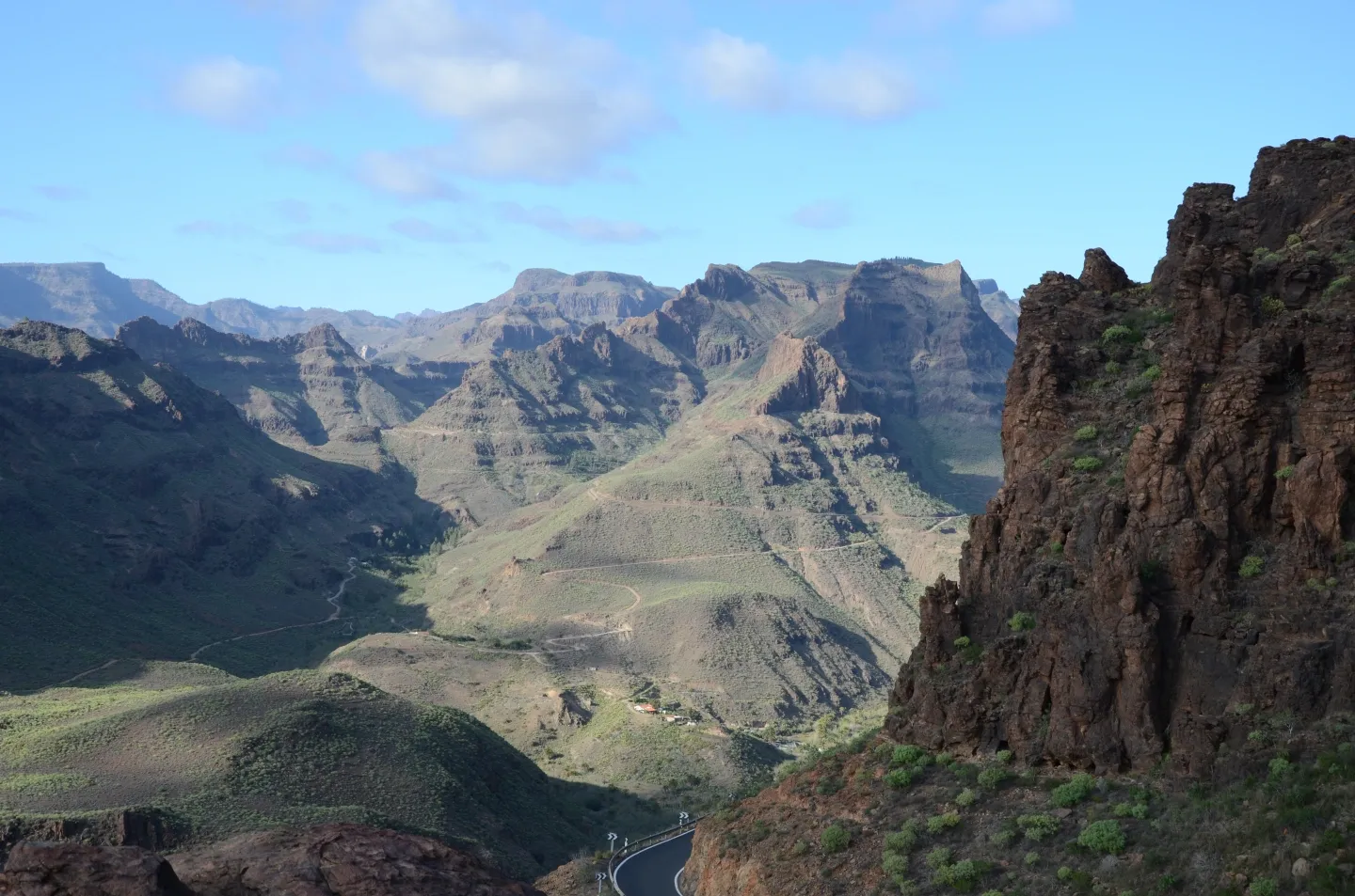
Presa de las Niñas
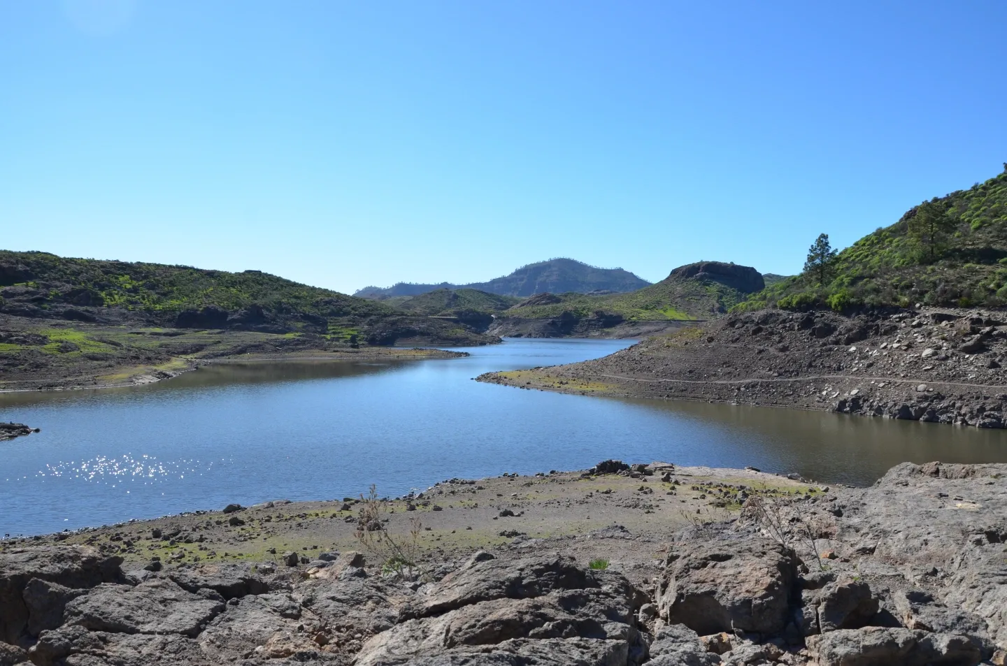
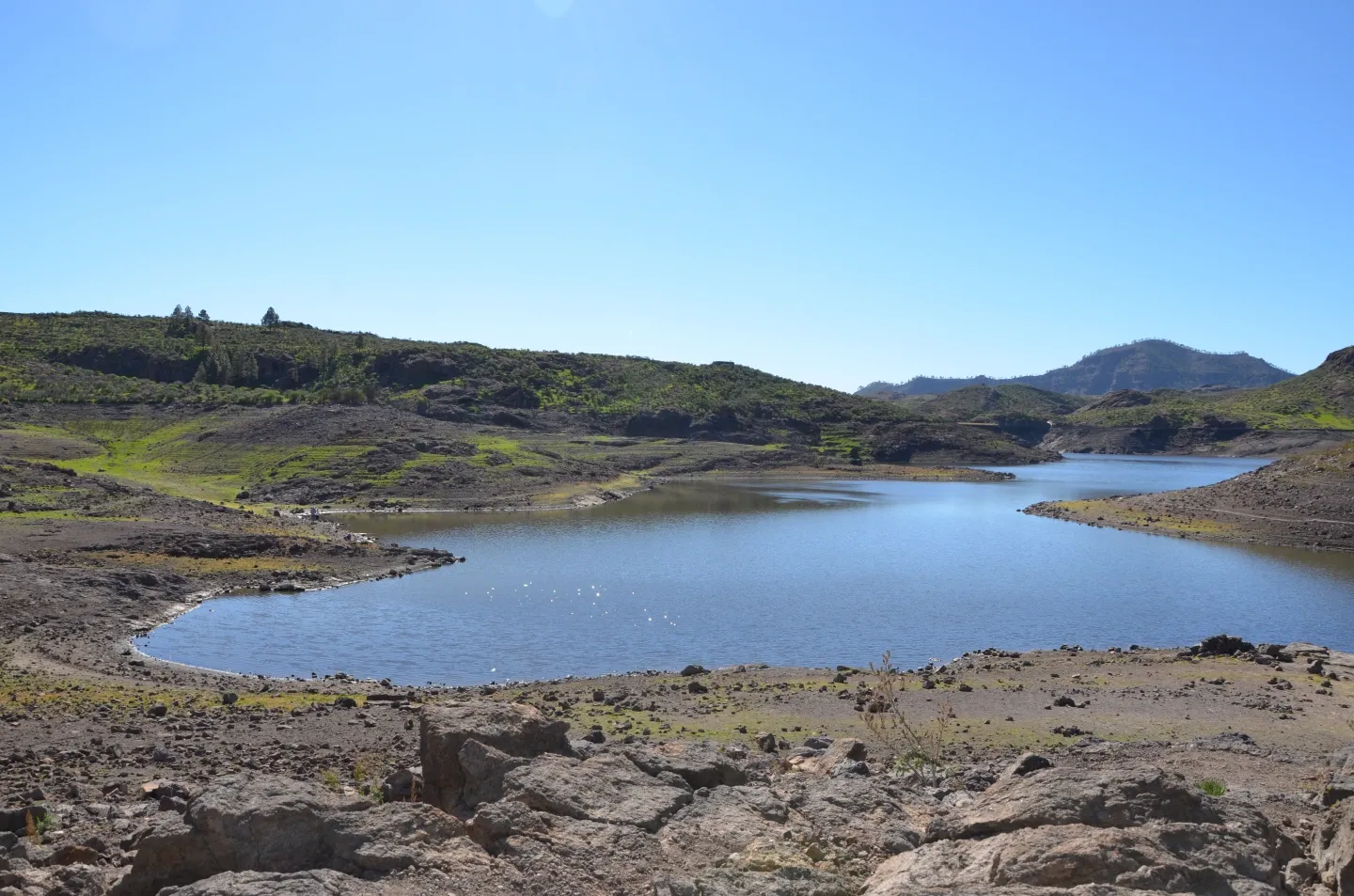
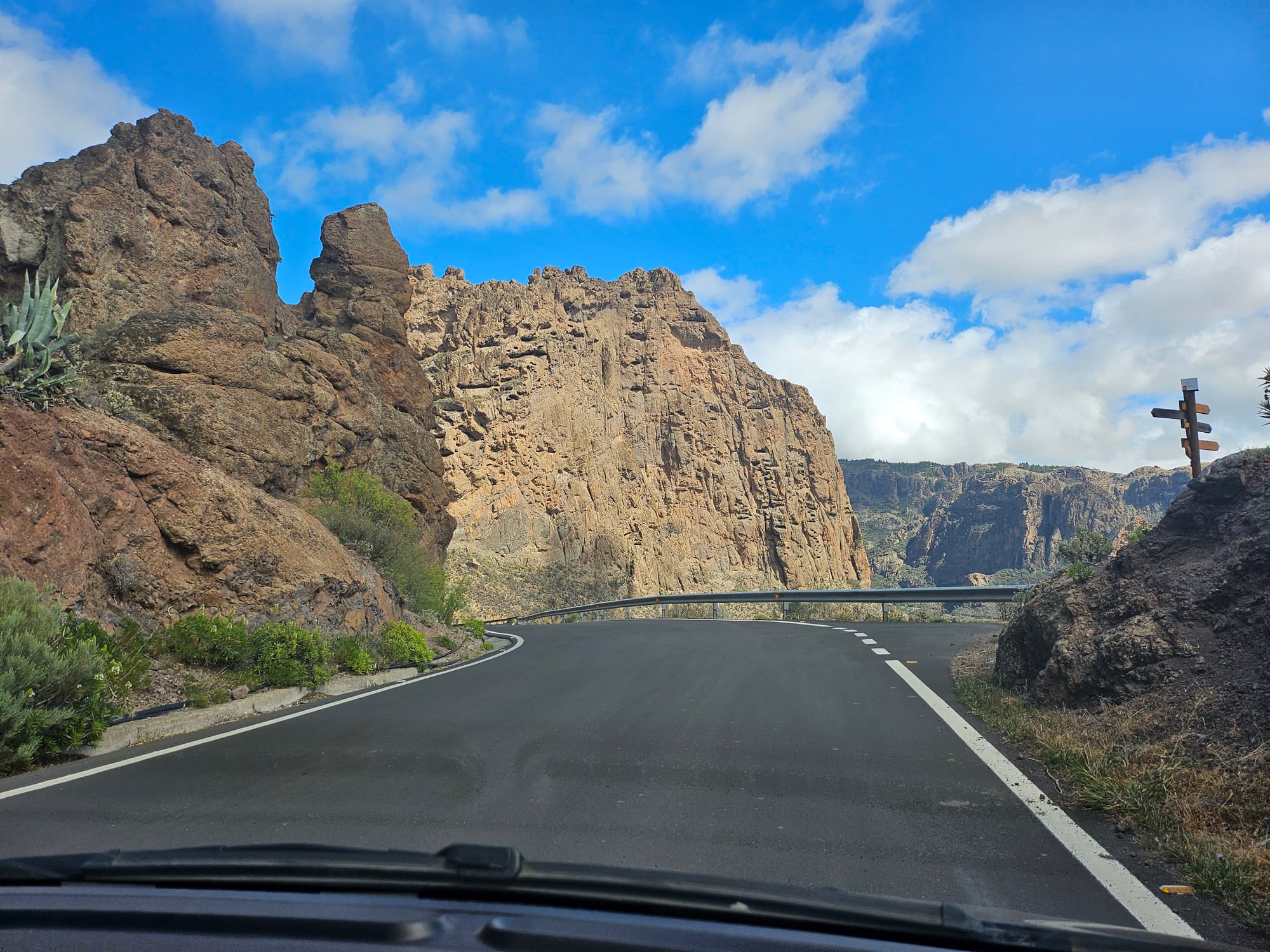
Road near Ayacata
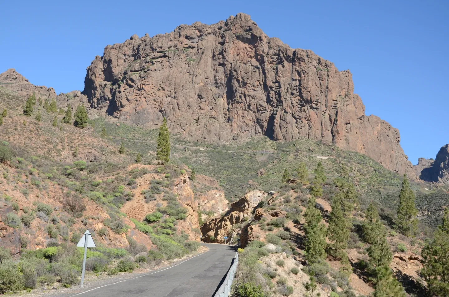
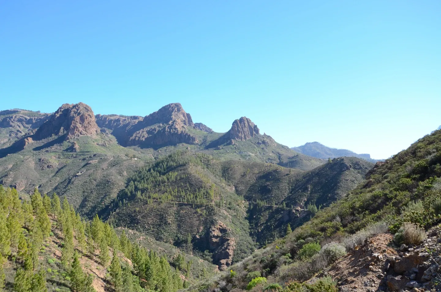
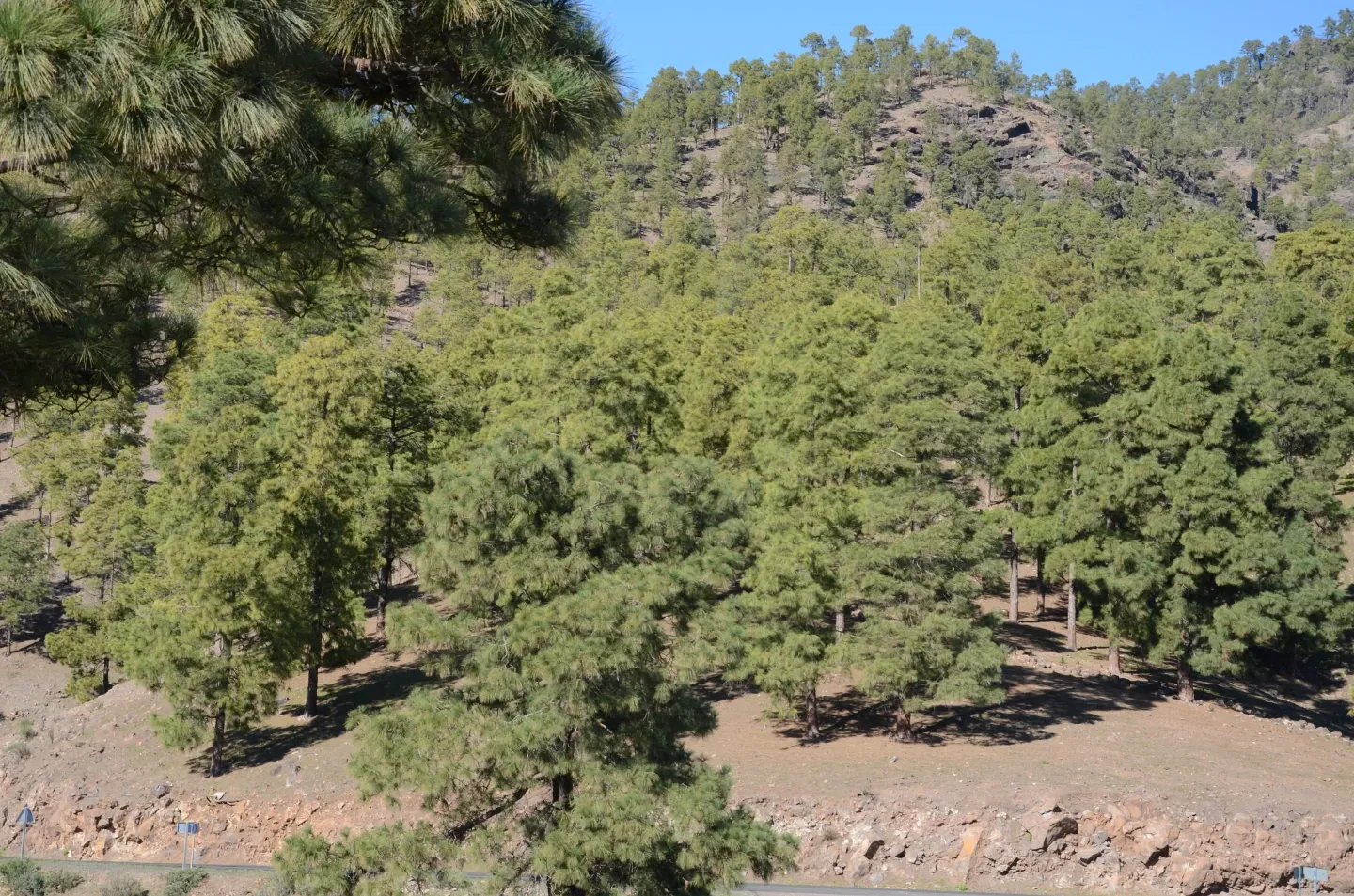
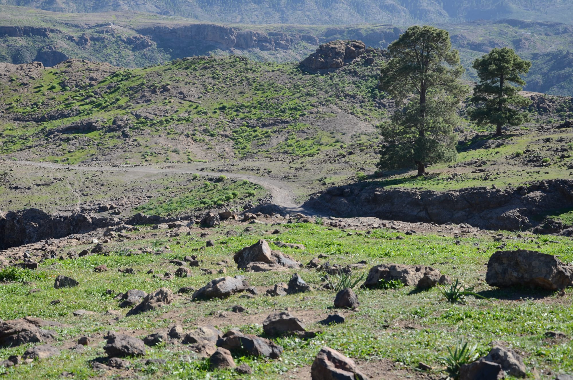
Barranco de Mogán
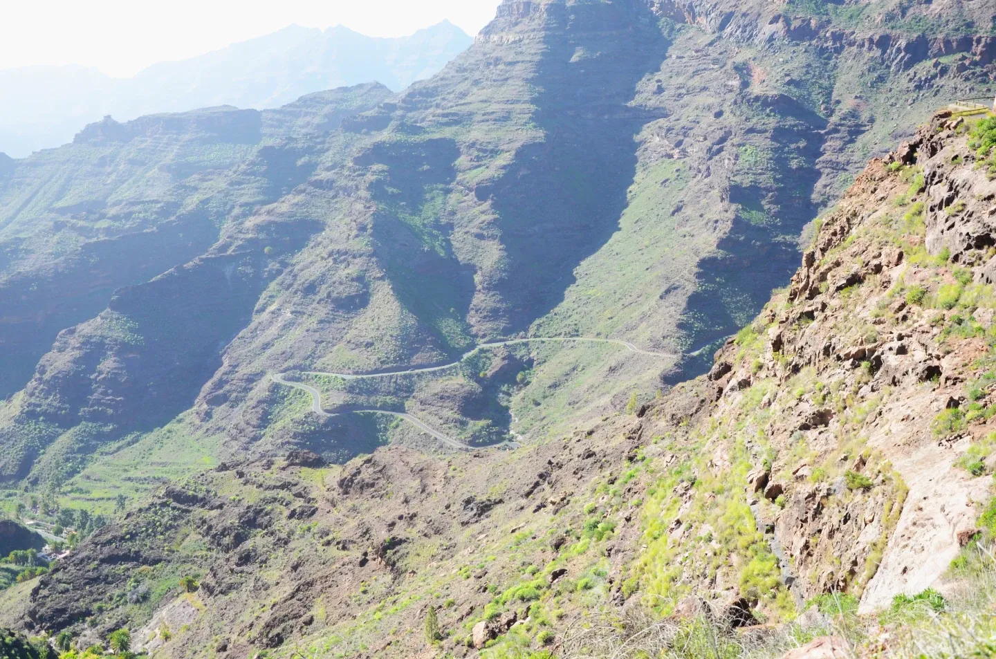
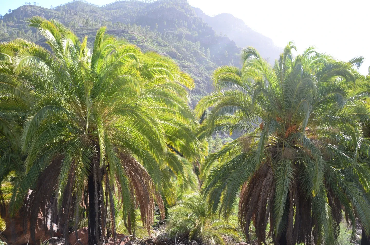
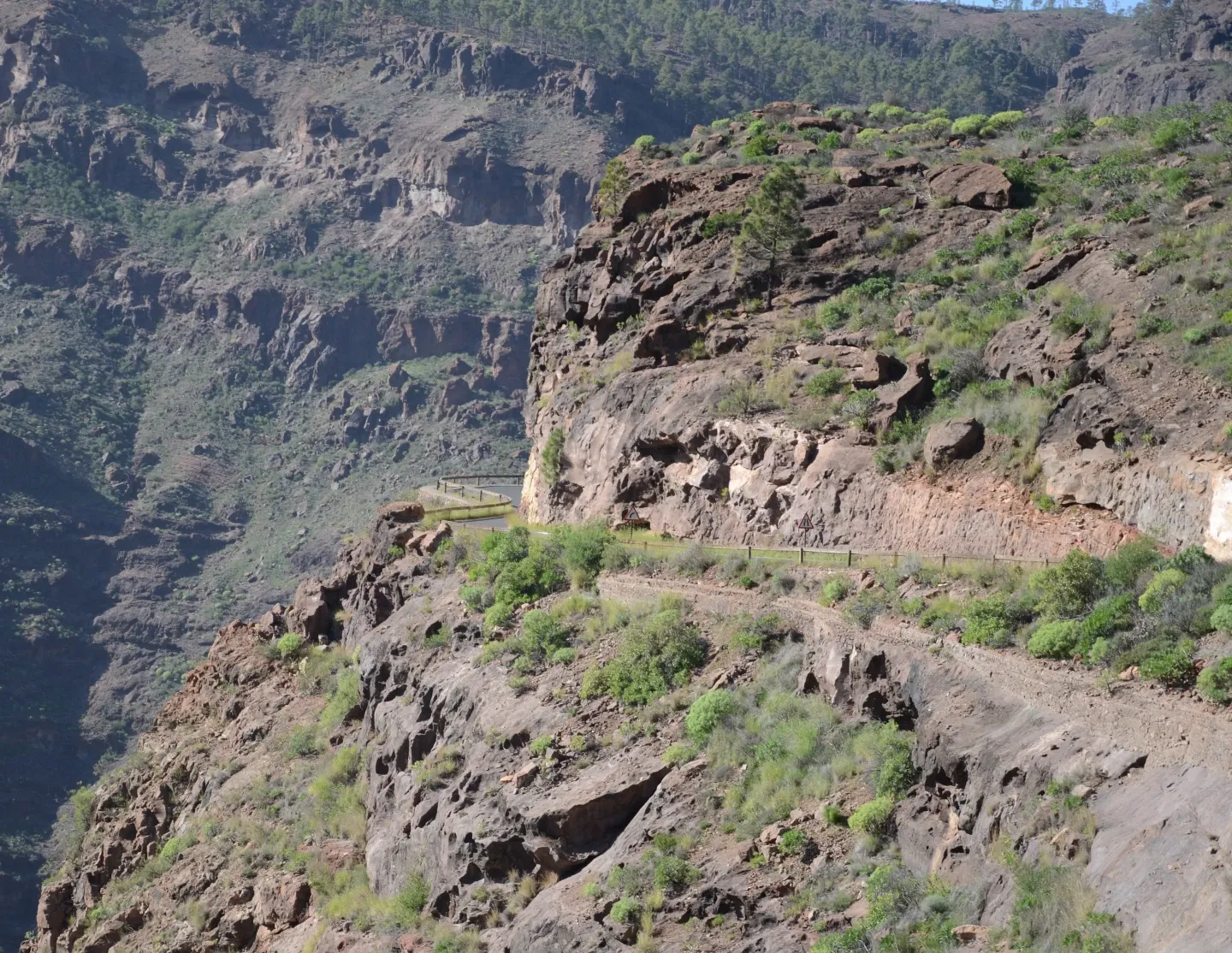
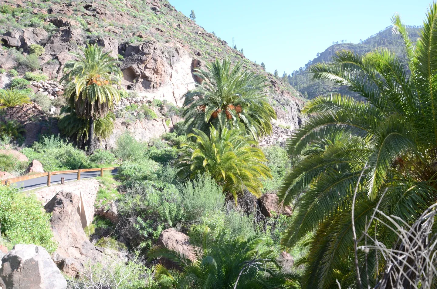
Baranco de Ayaguares
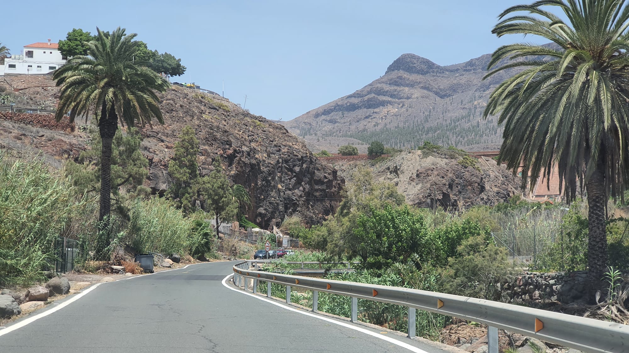
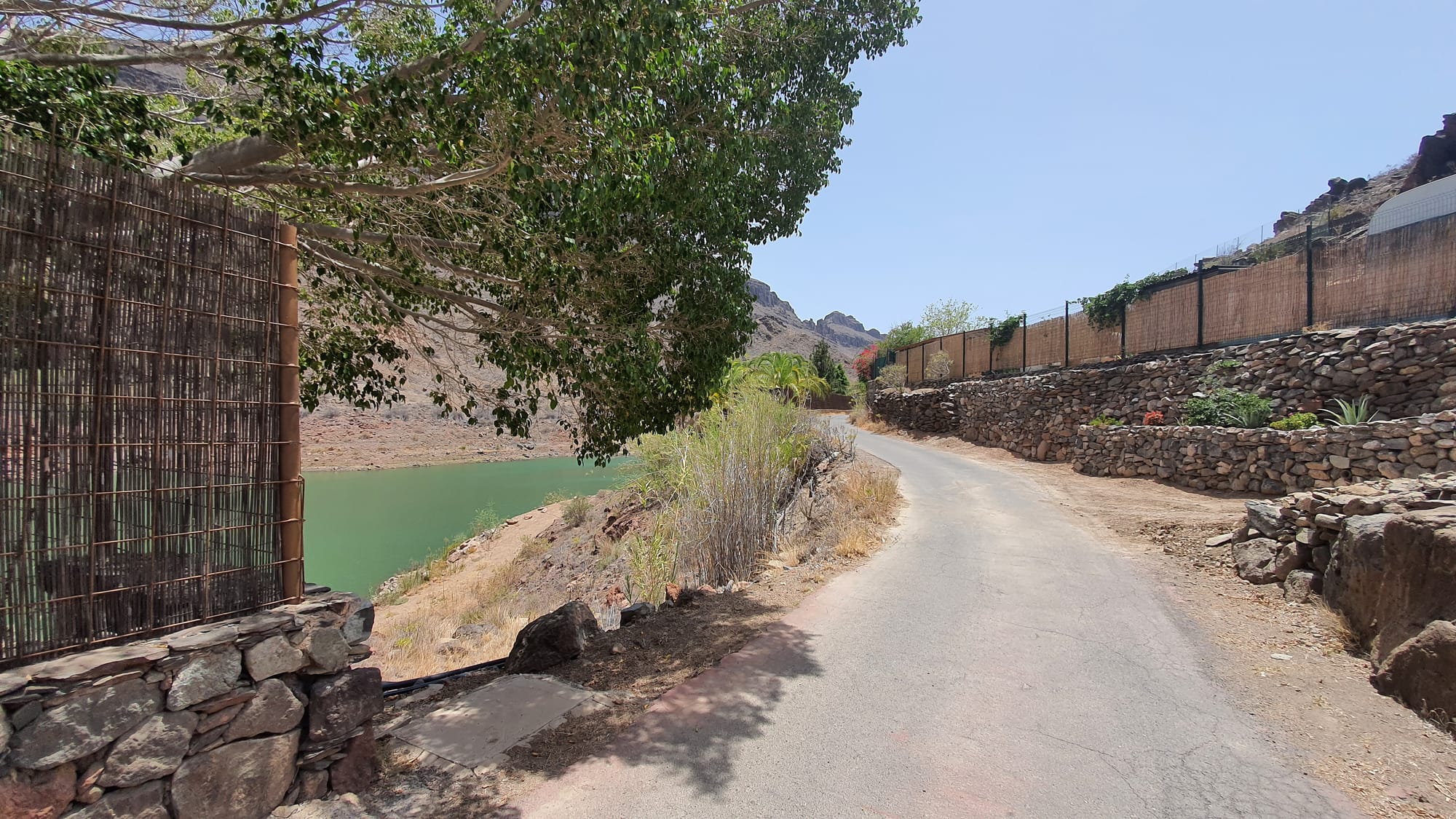
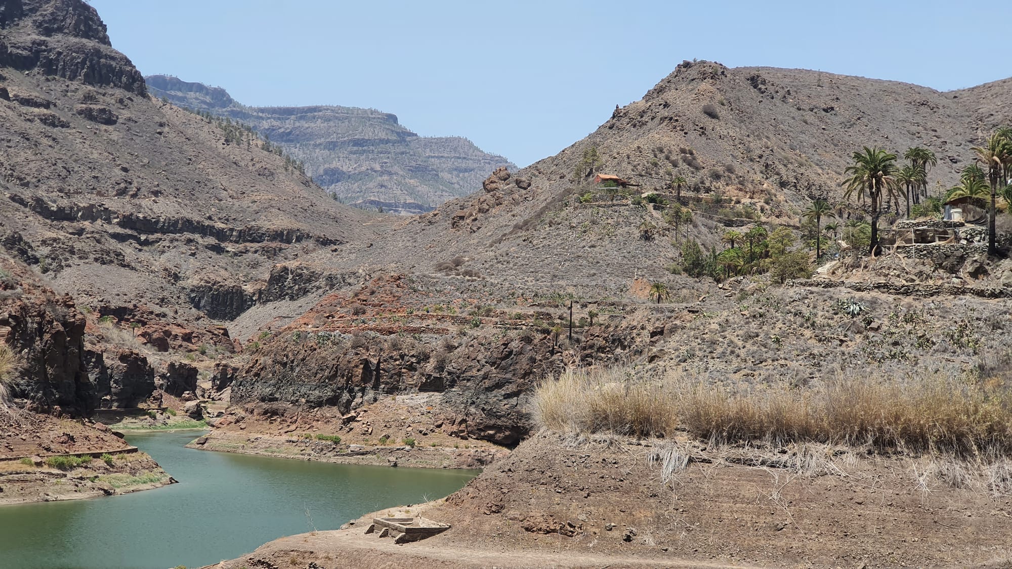
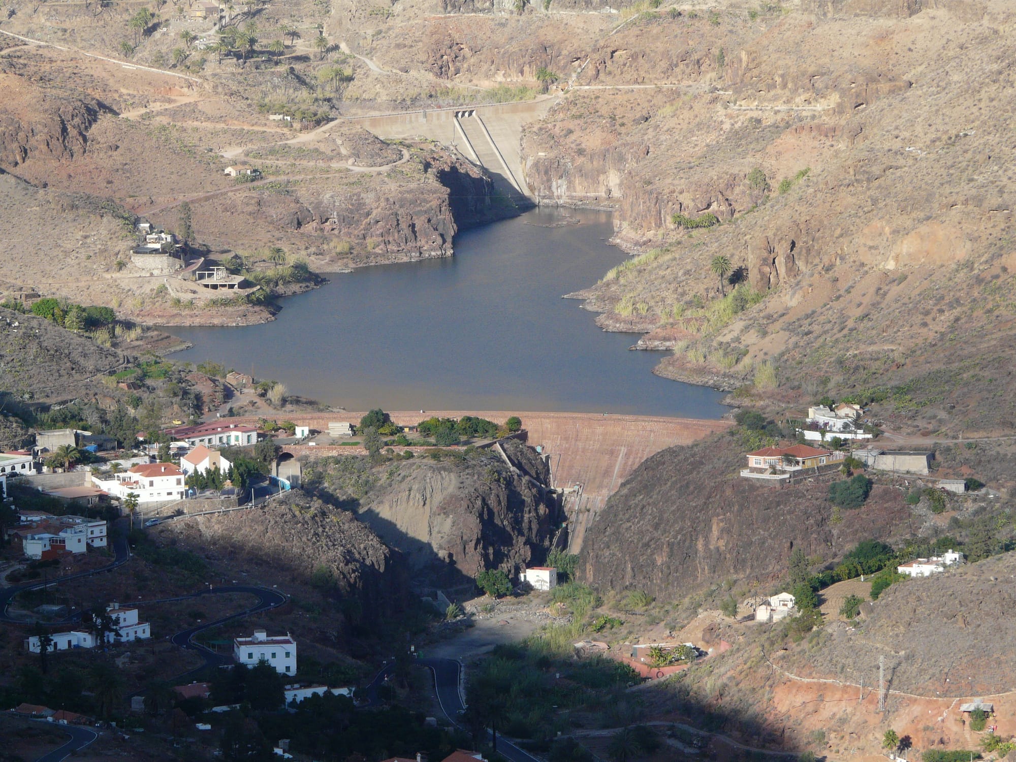
La Gambuesa Dam / Pressa de la Gambuesa
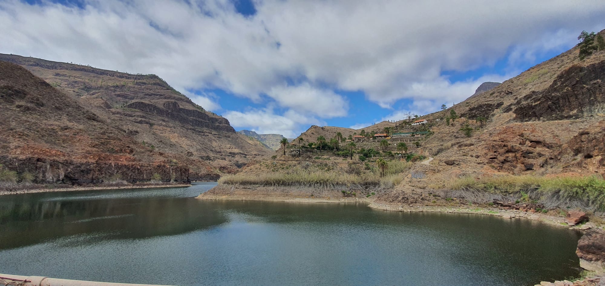
Baranco de Fataga
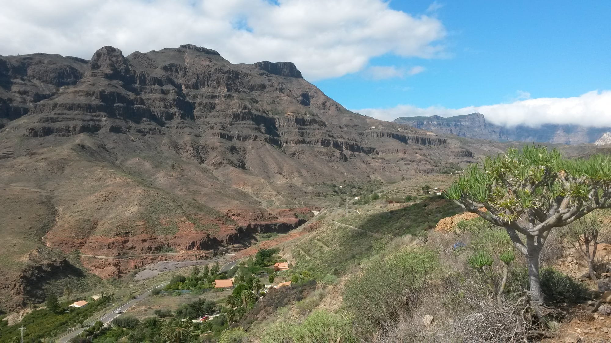
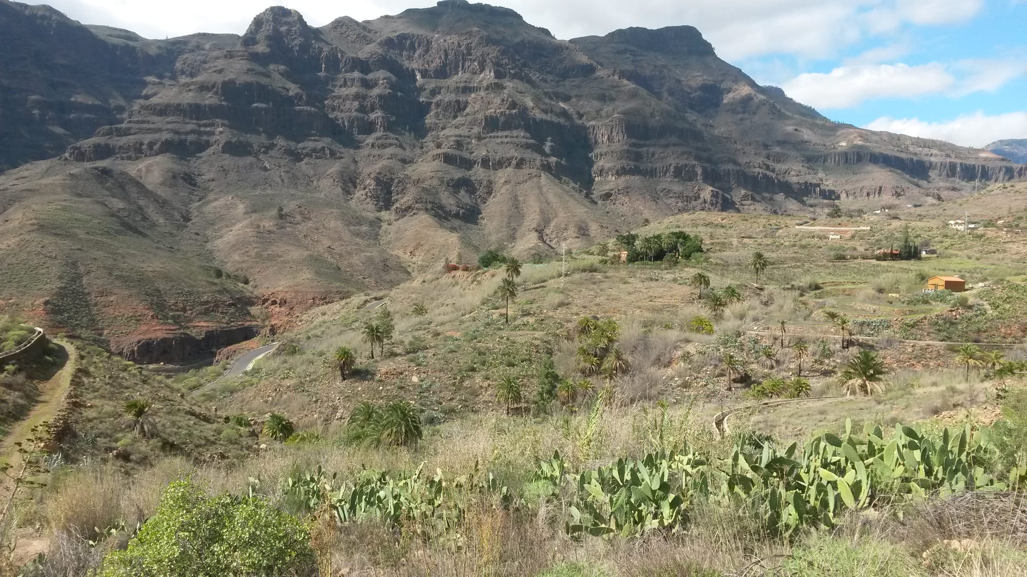
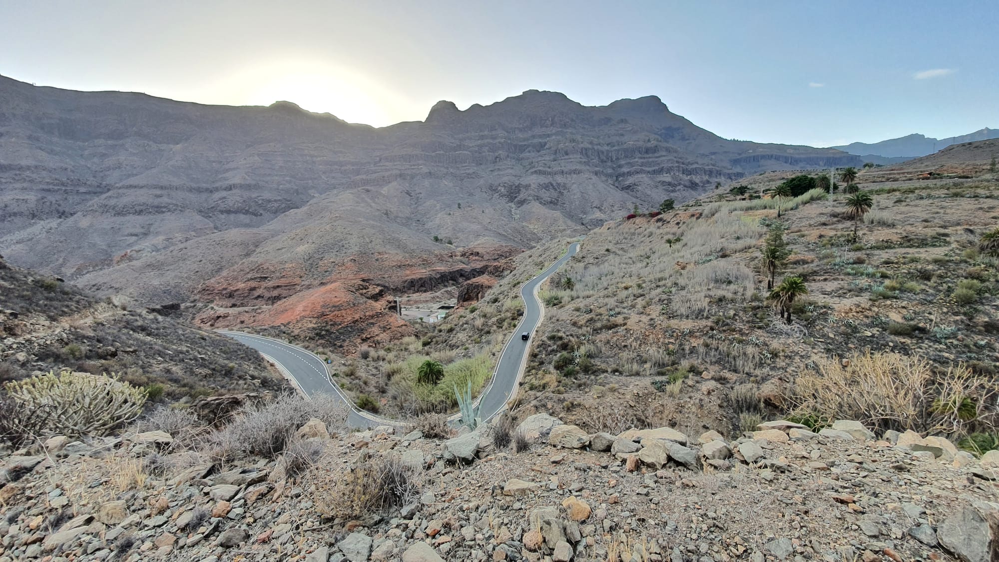
Baranco de Tirajana
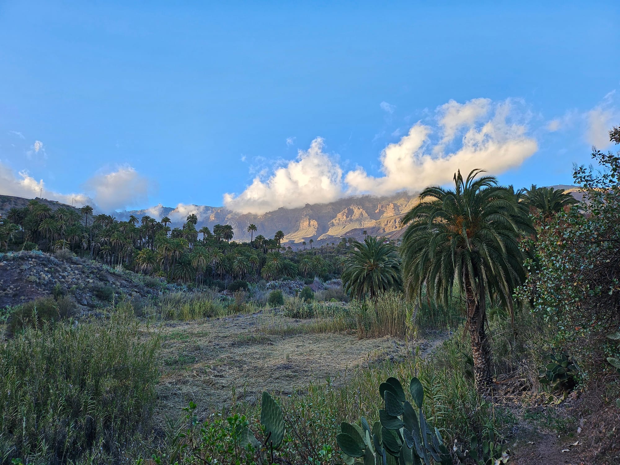
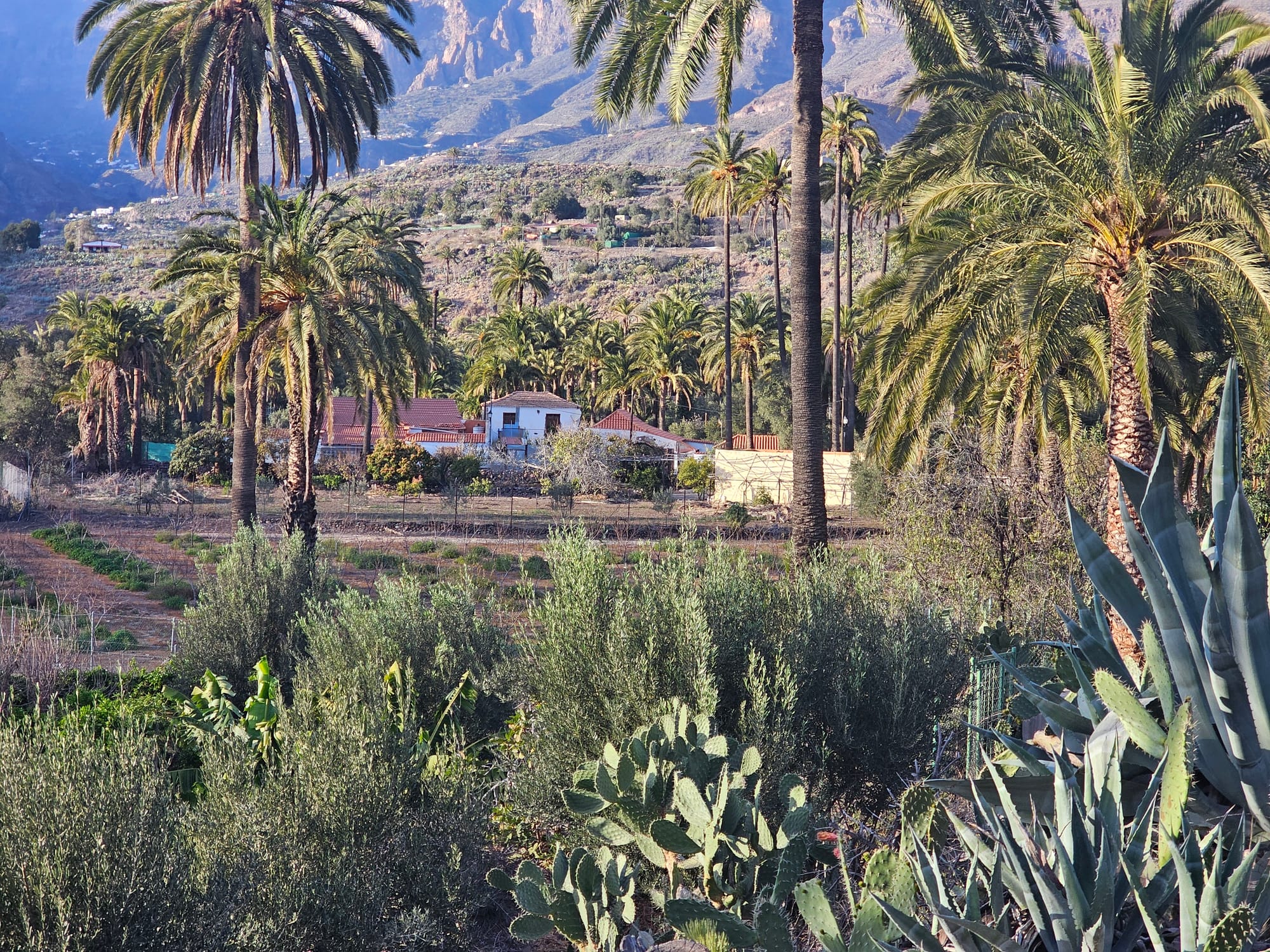
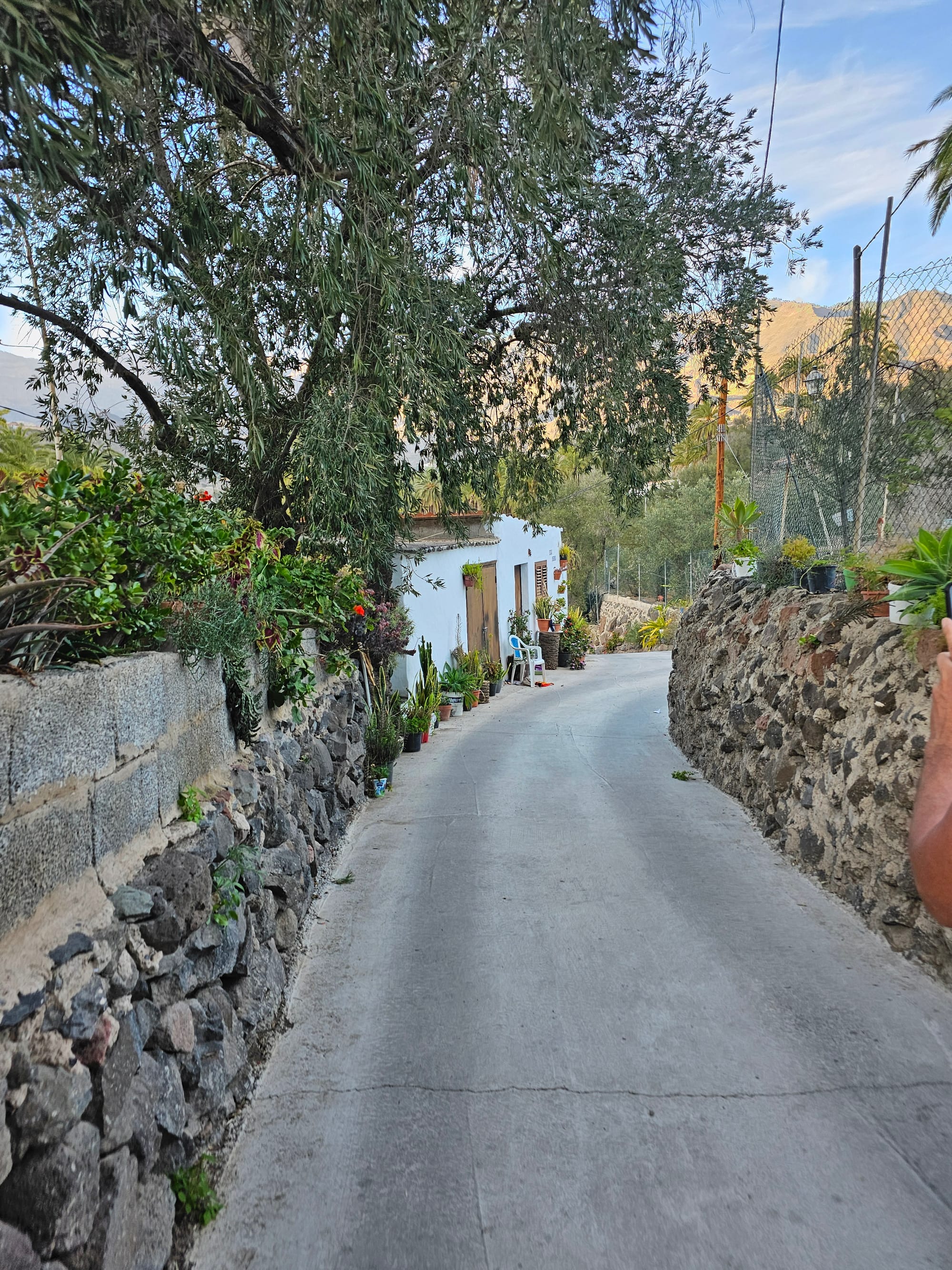
La Rueda
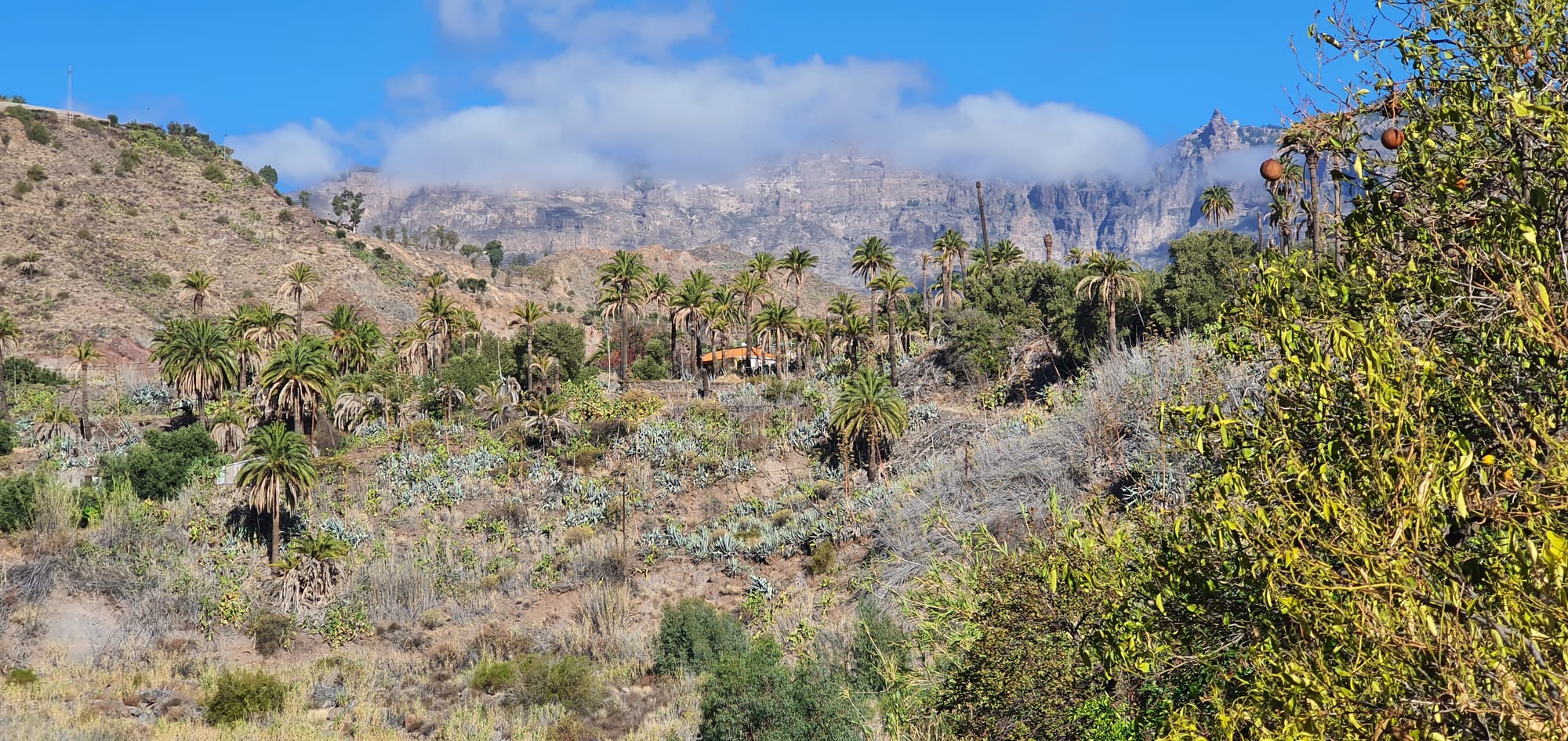
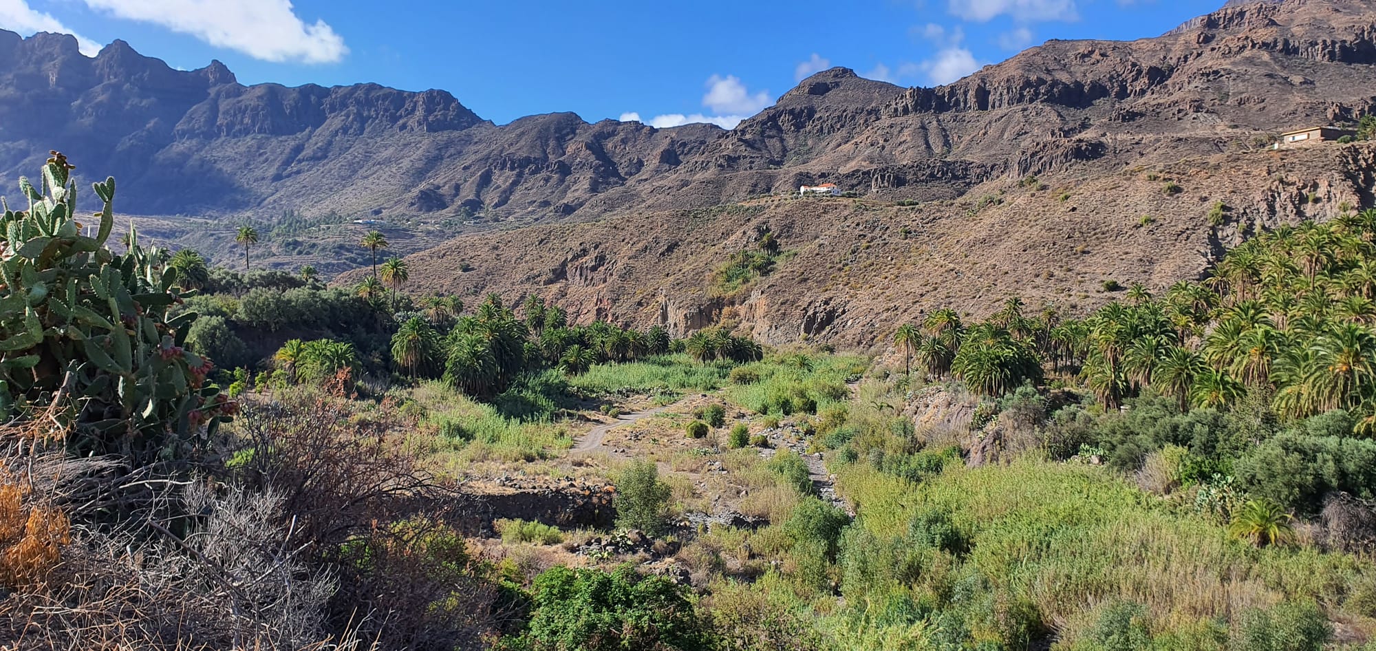
Taidia
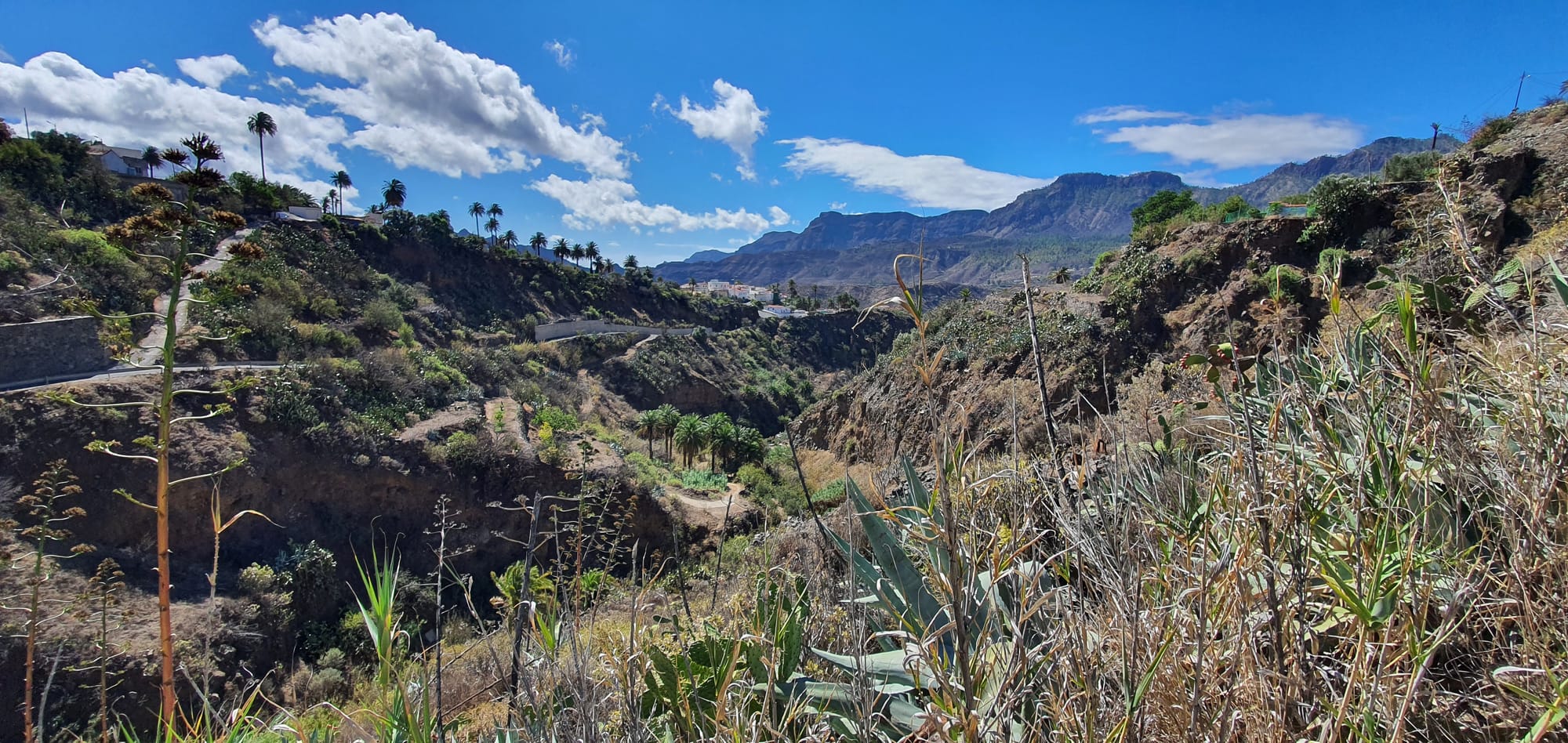
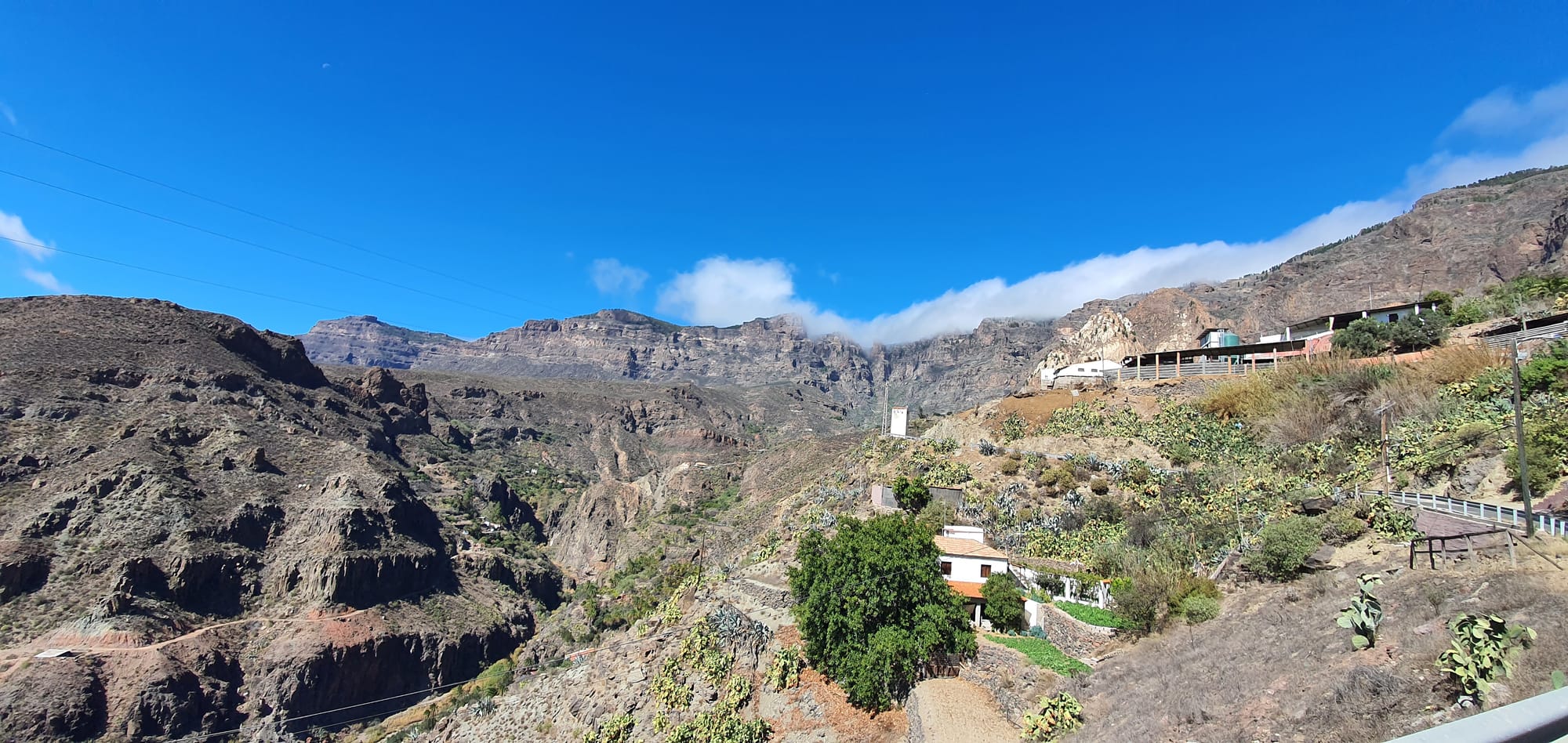
Santa Lucia de Tirajana
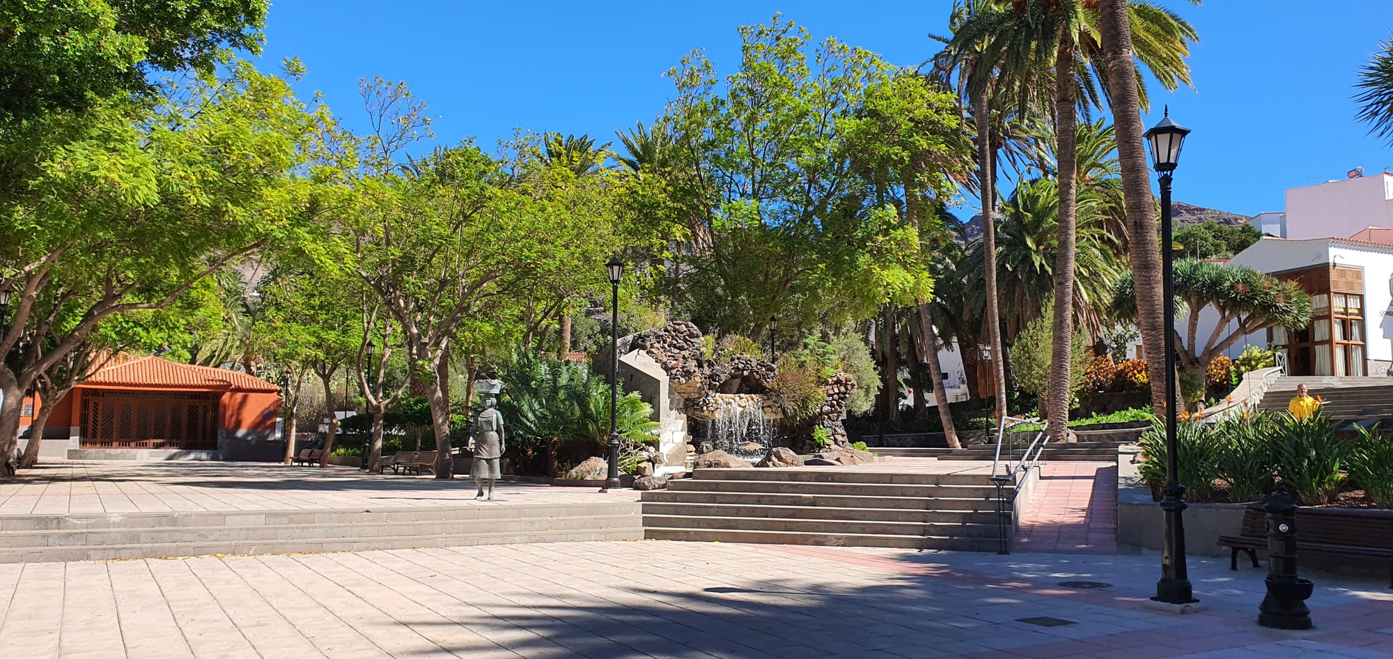
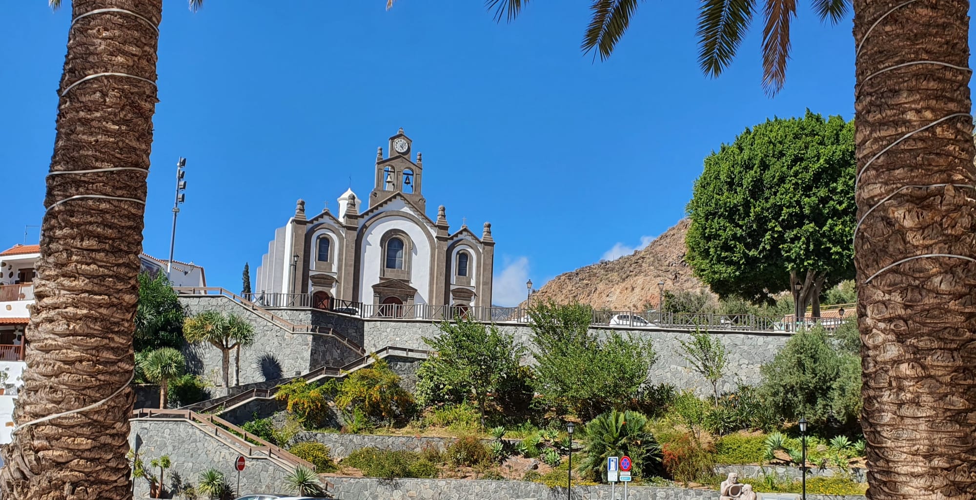
La Sorueda
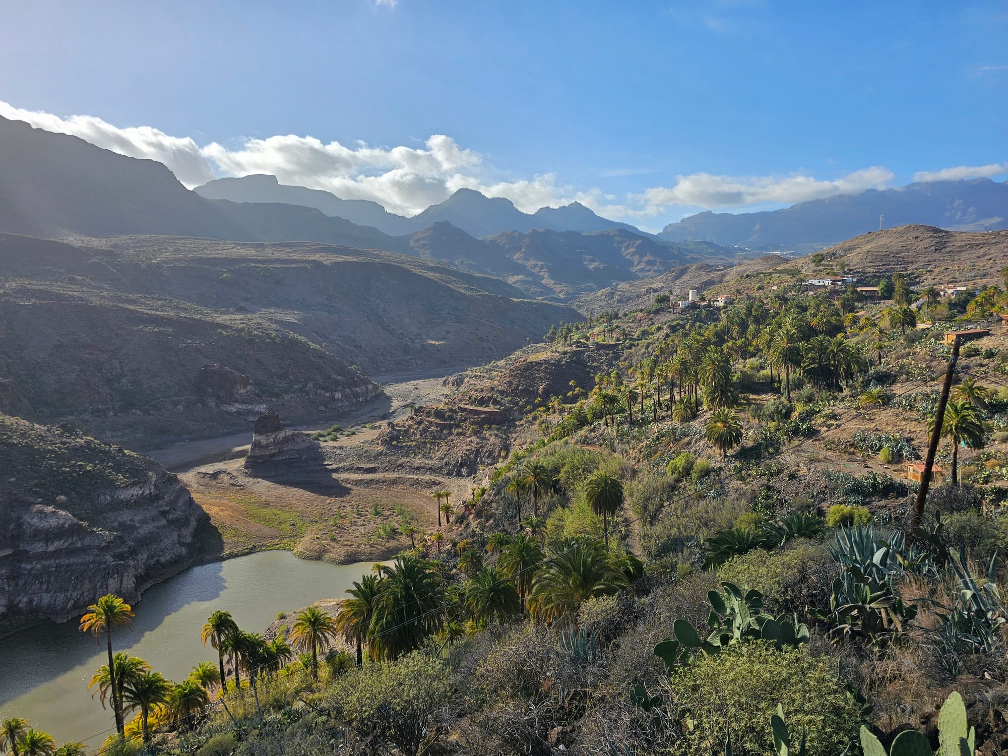
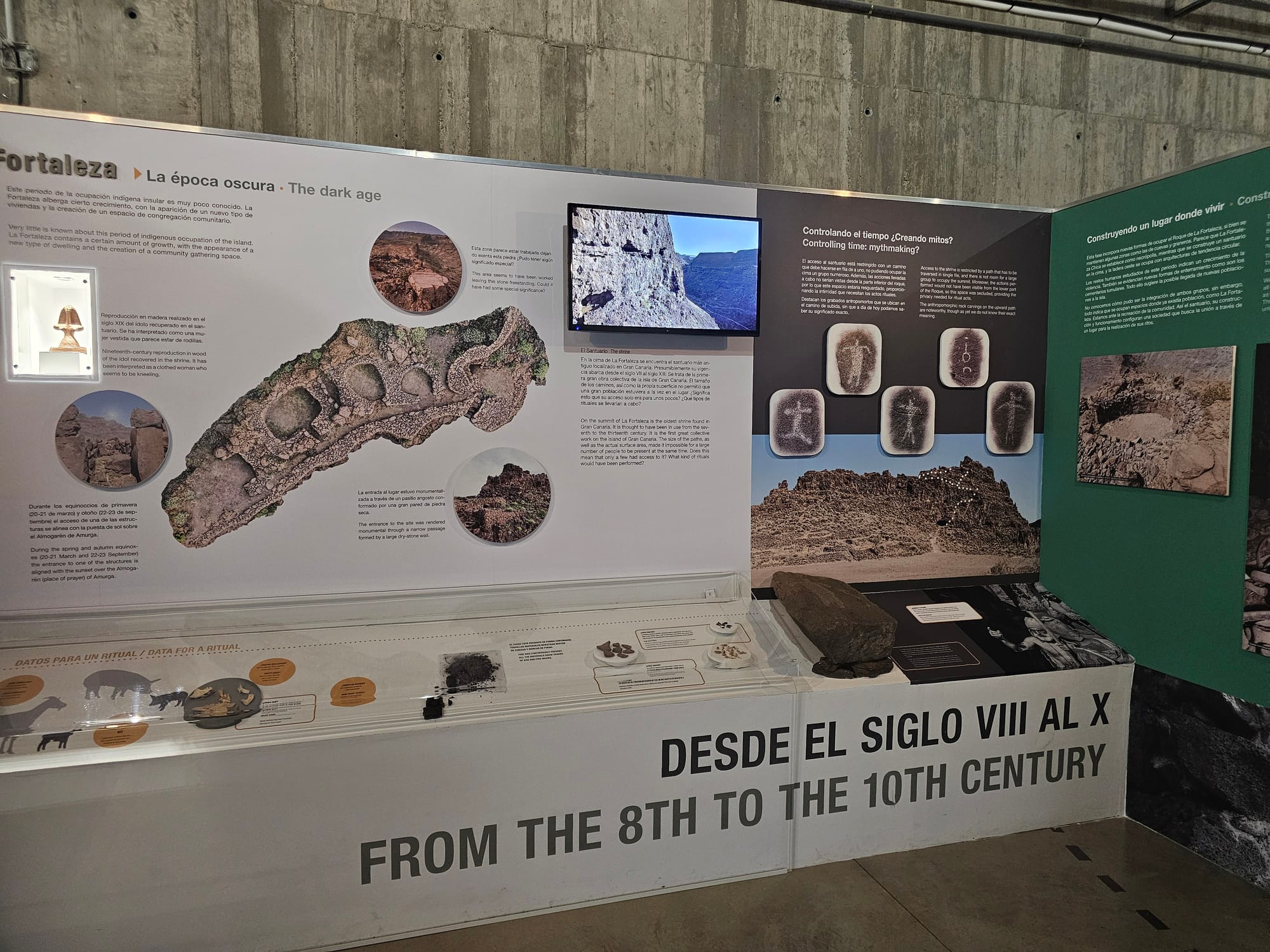
La Fortaleza
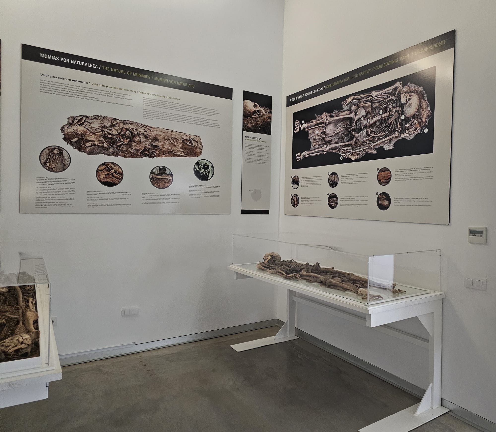
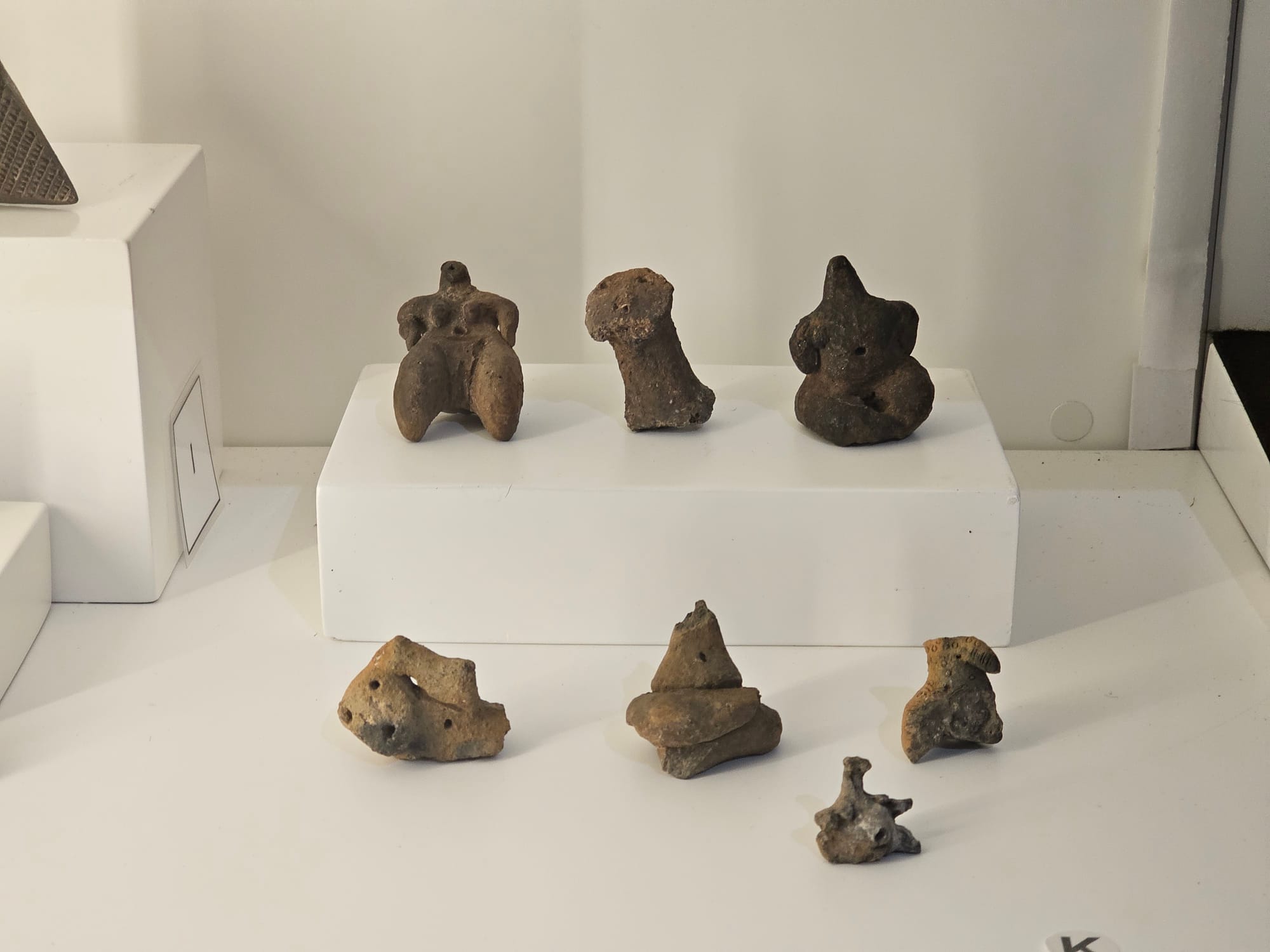
The museum


Ansite
Tejeda
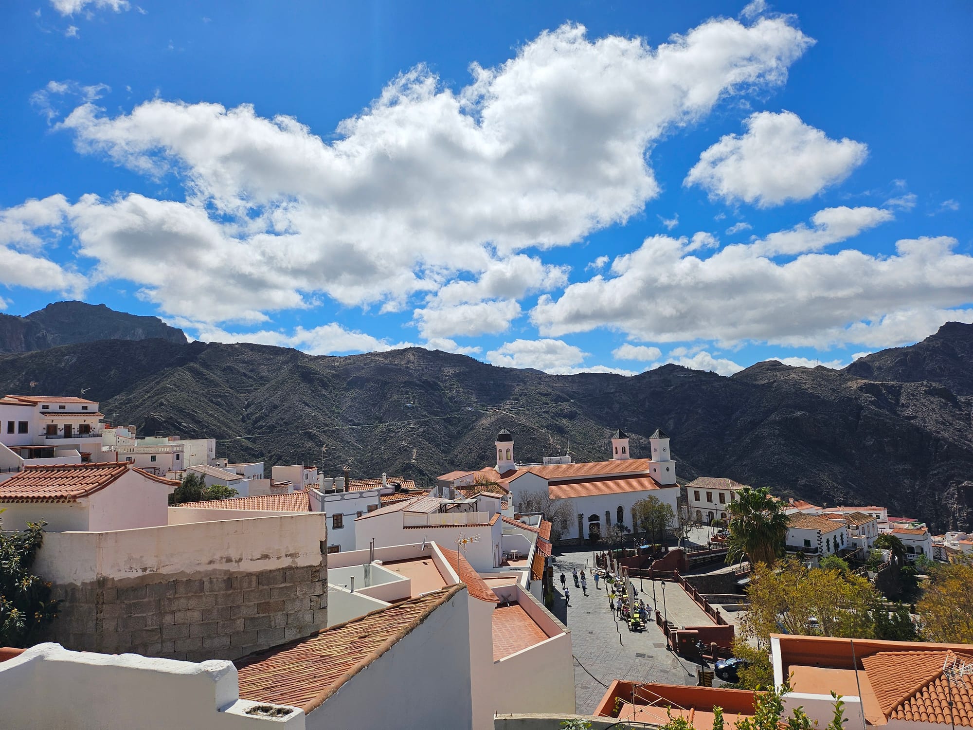
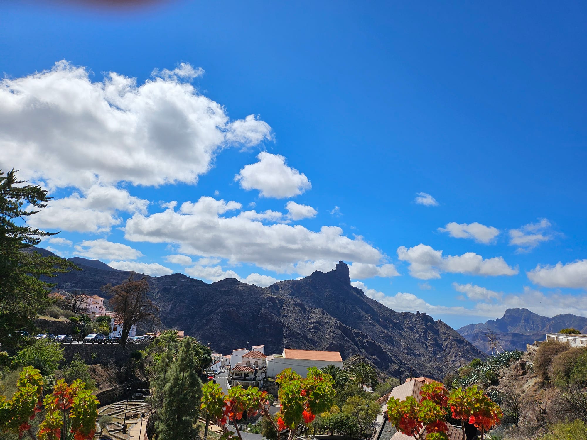
Cruz de Tejeda
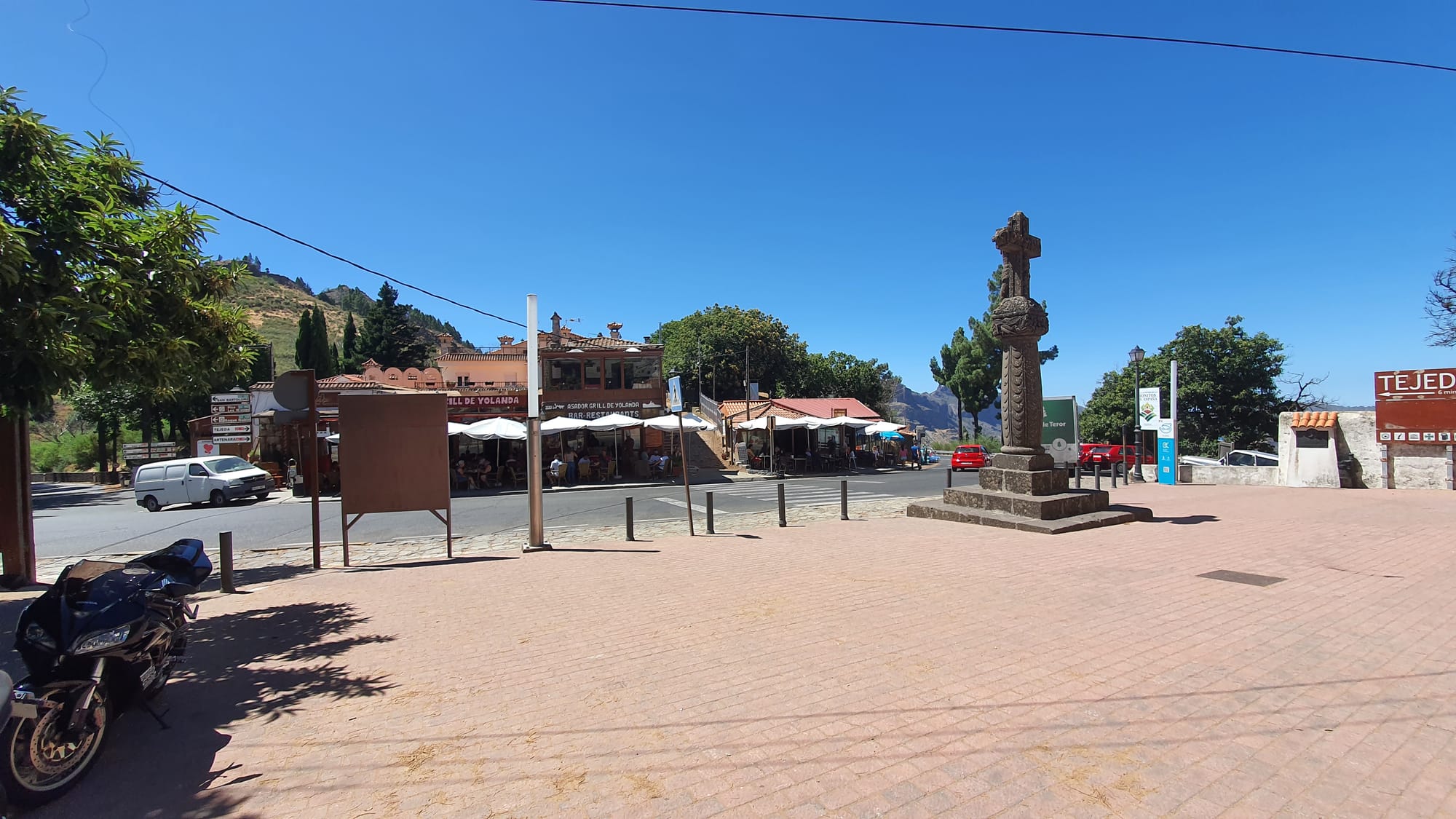
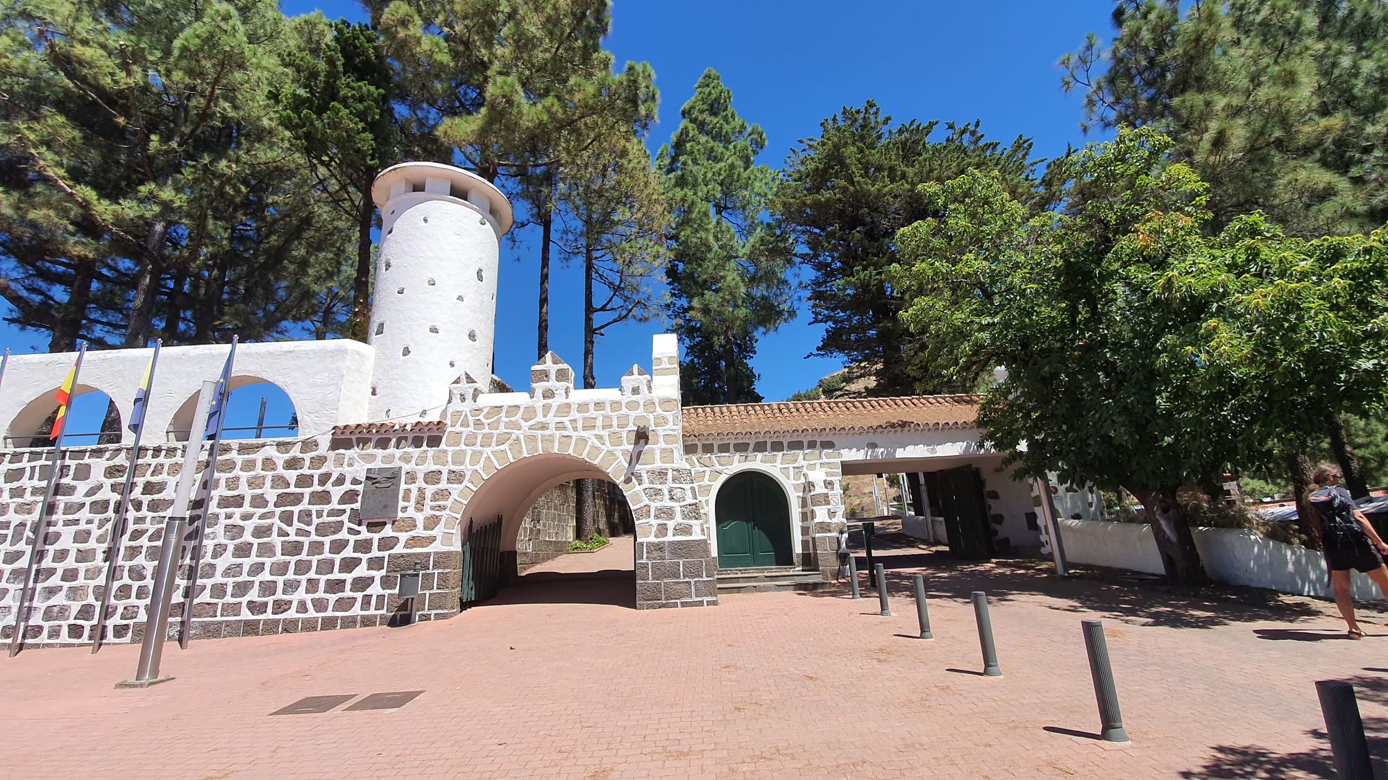
Juncalillio
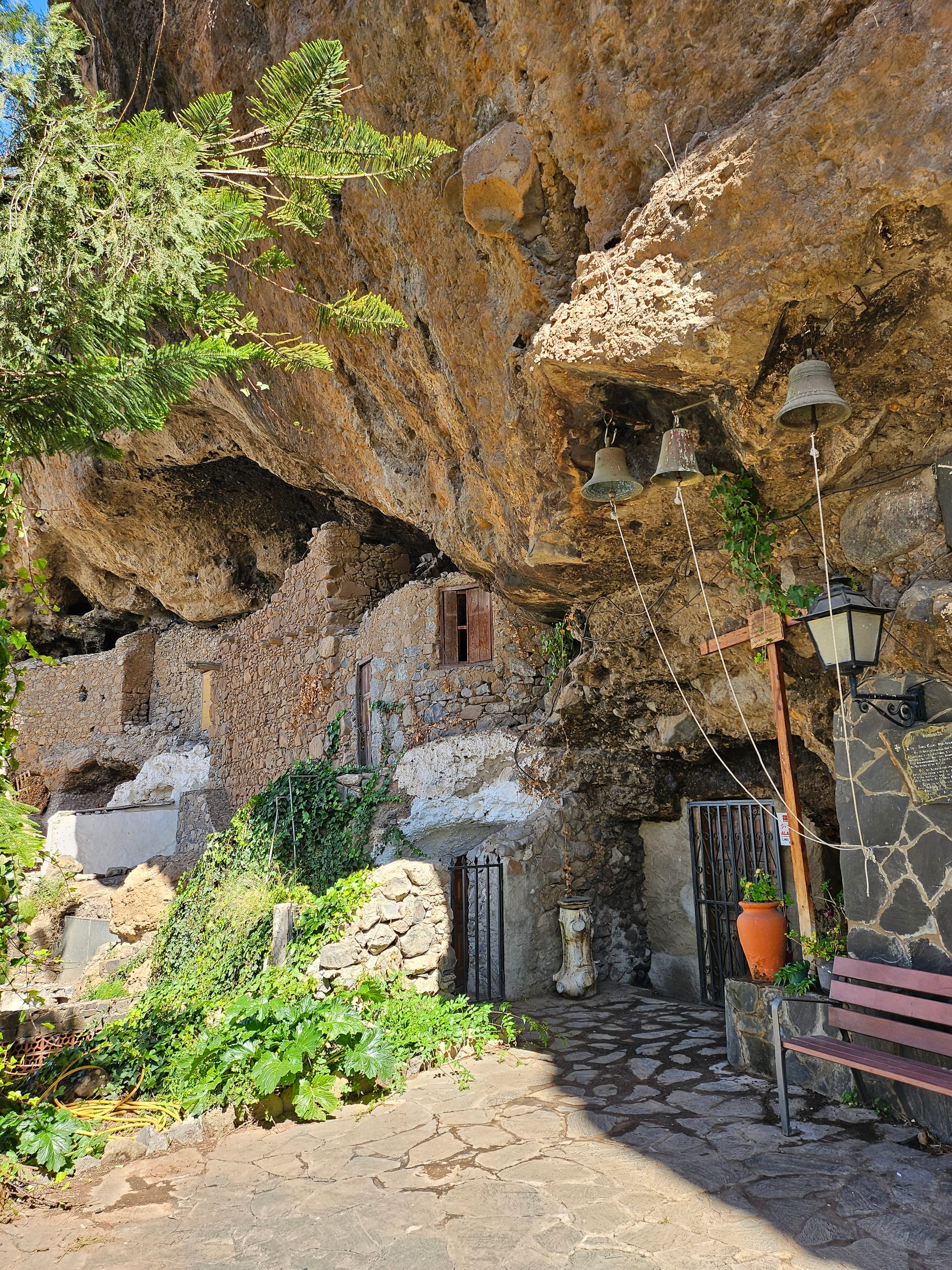
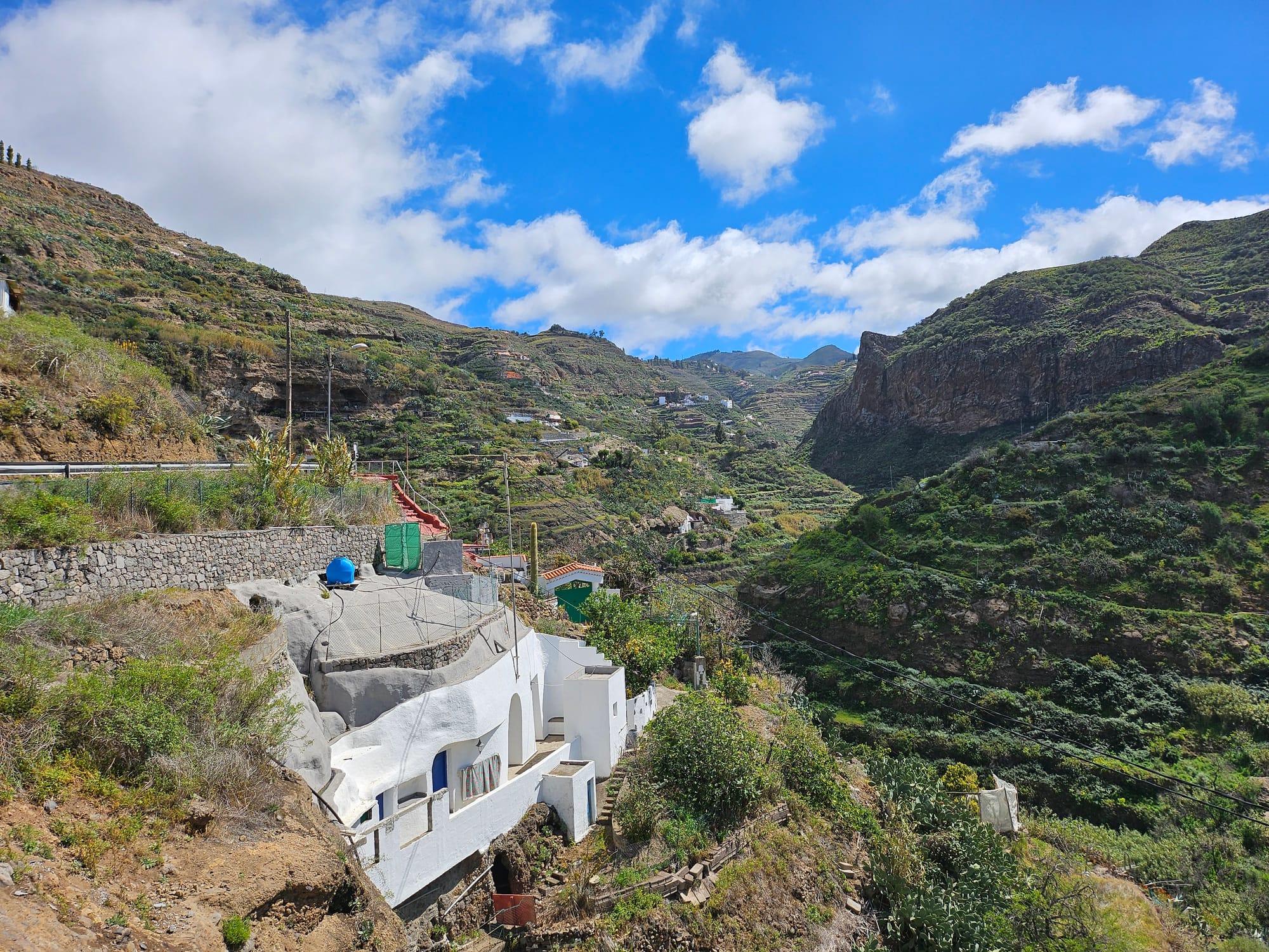
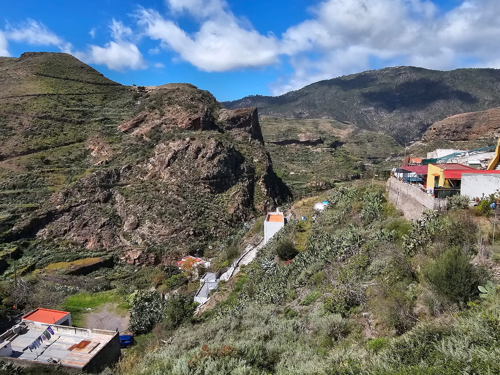
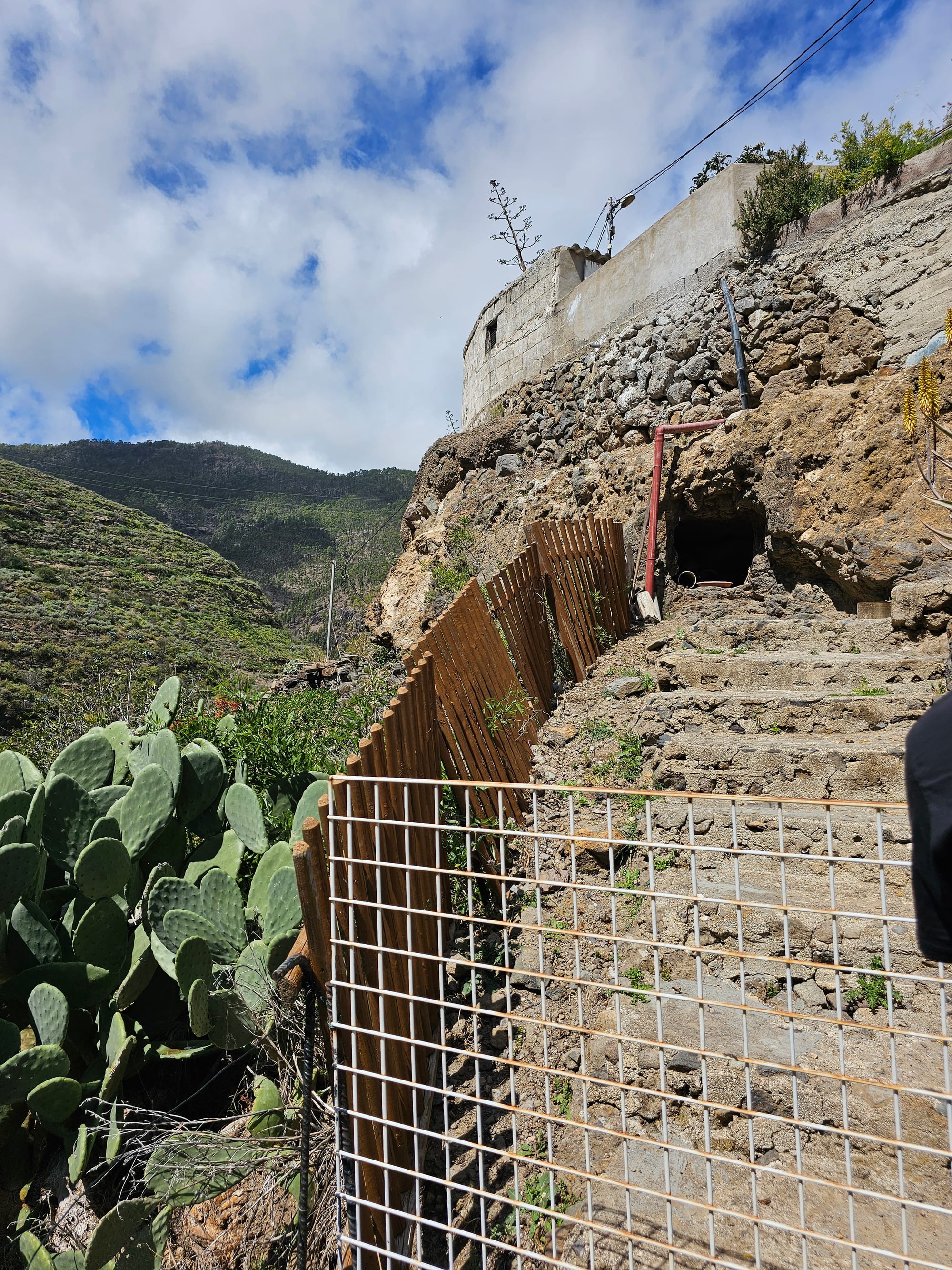
Fataga
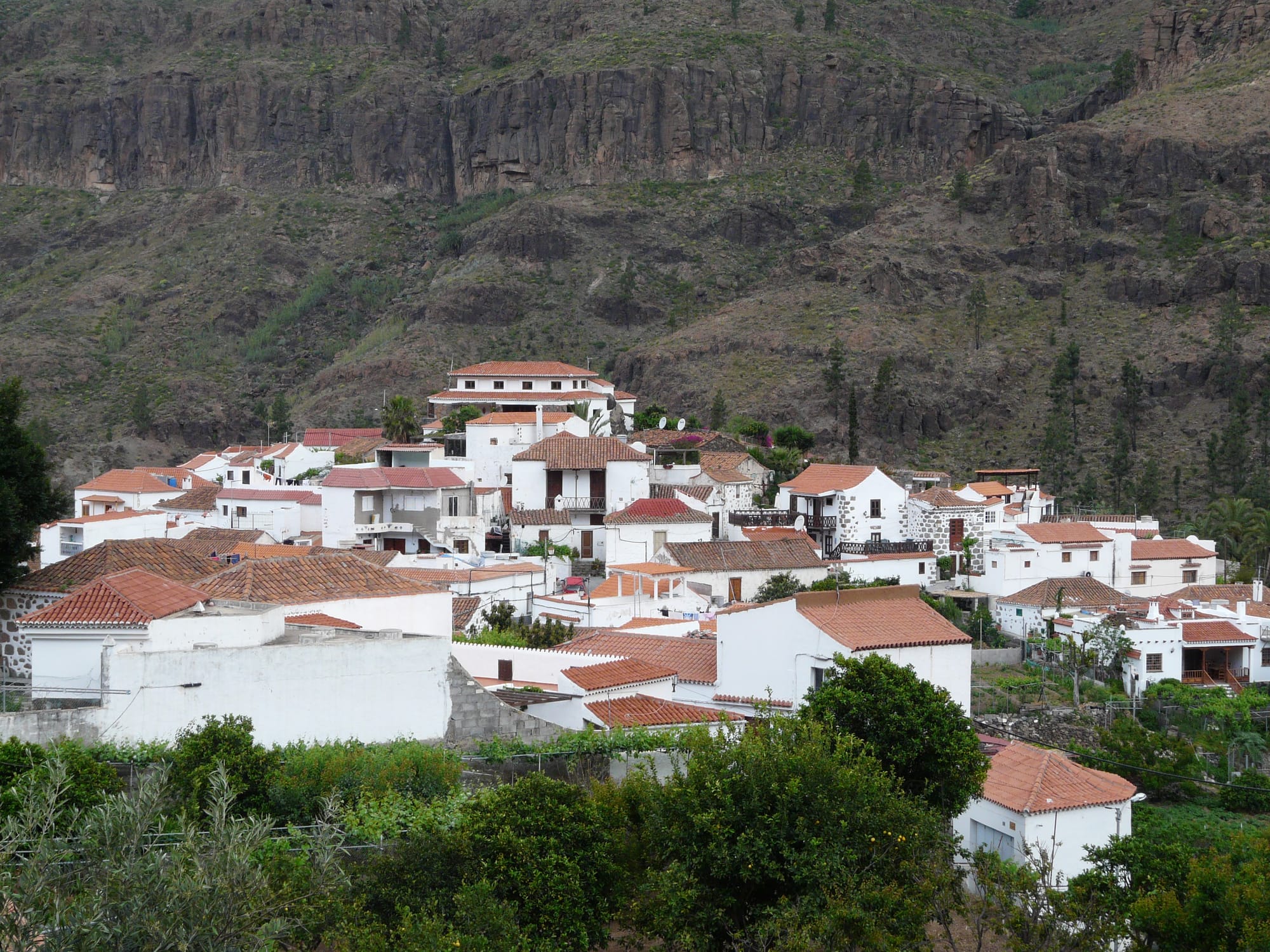
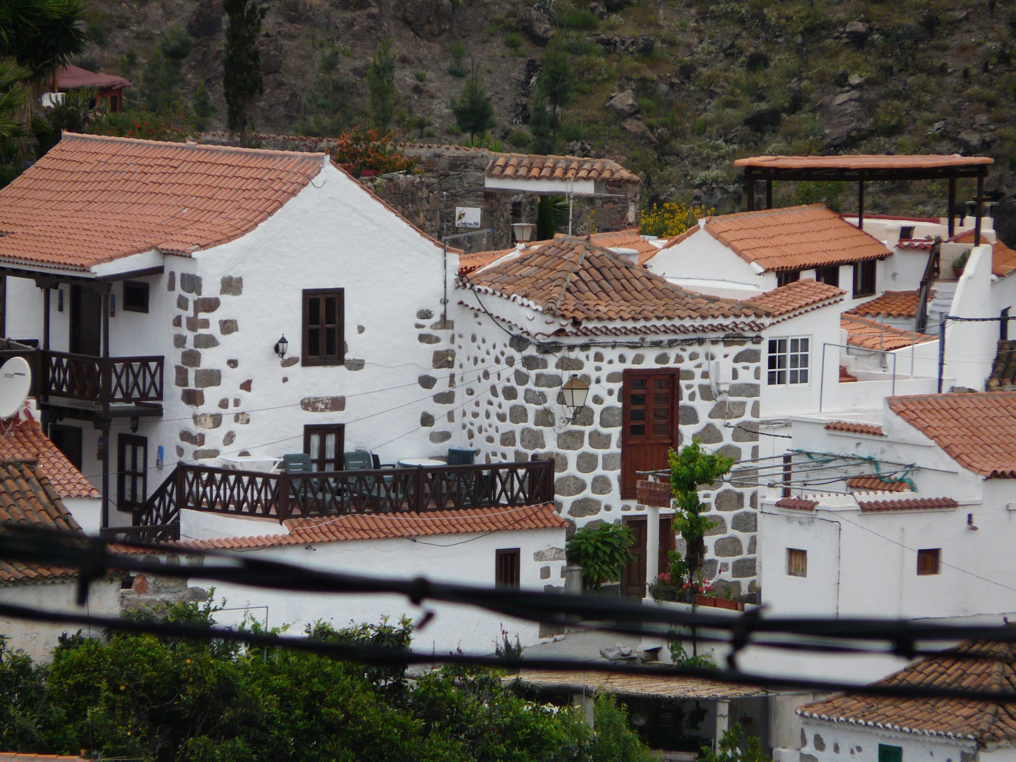
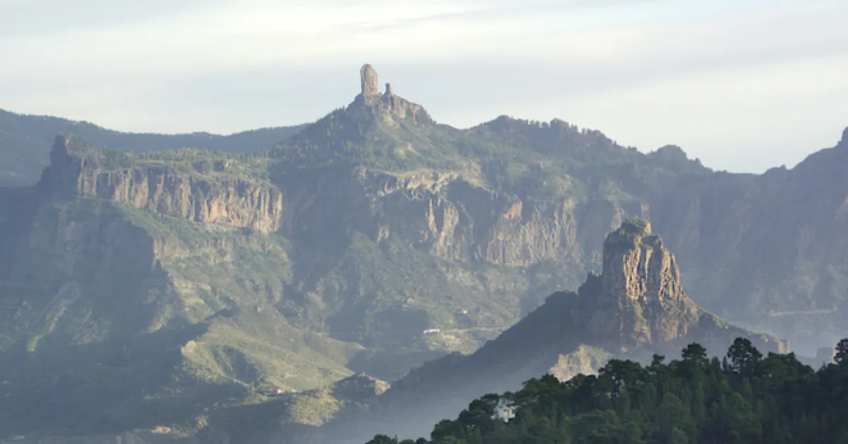
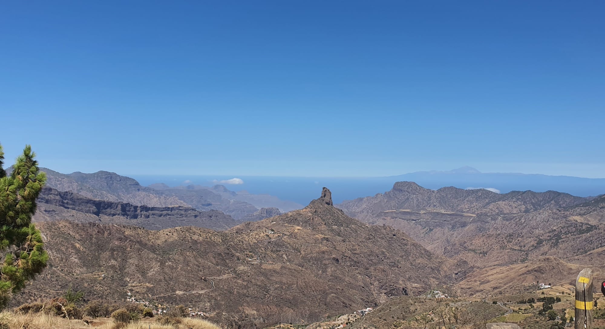
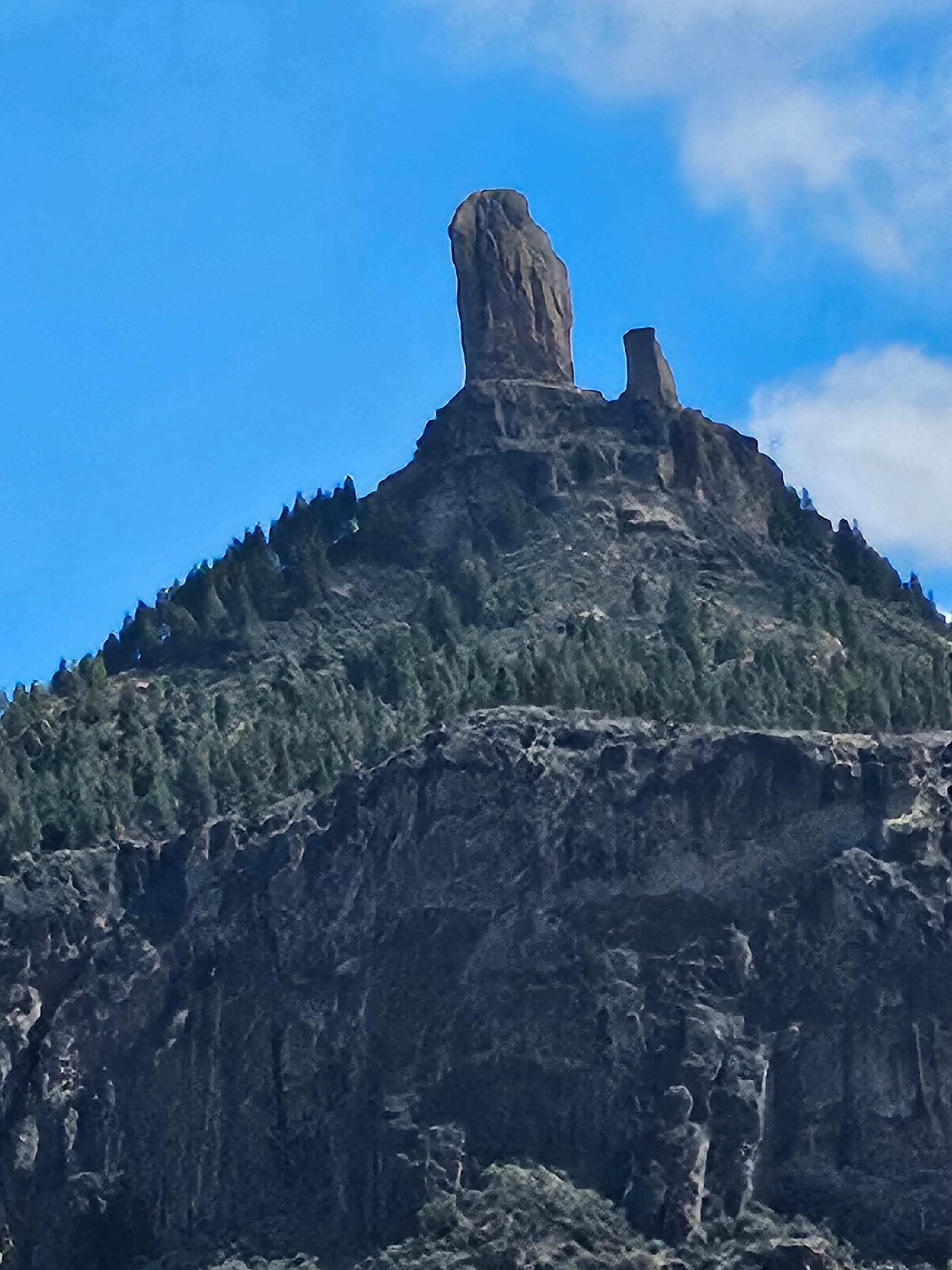
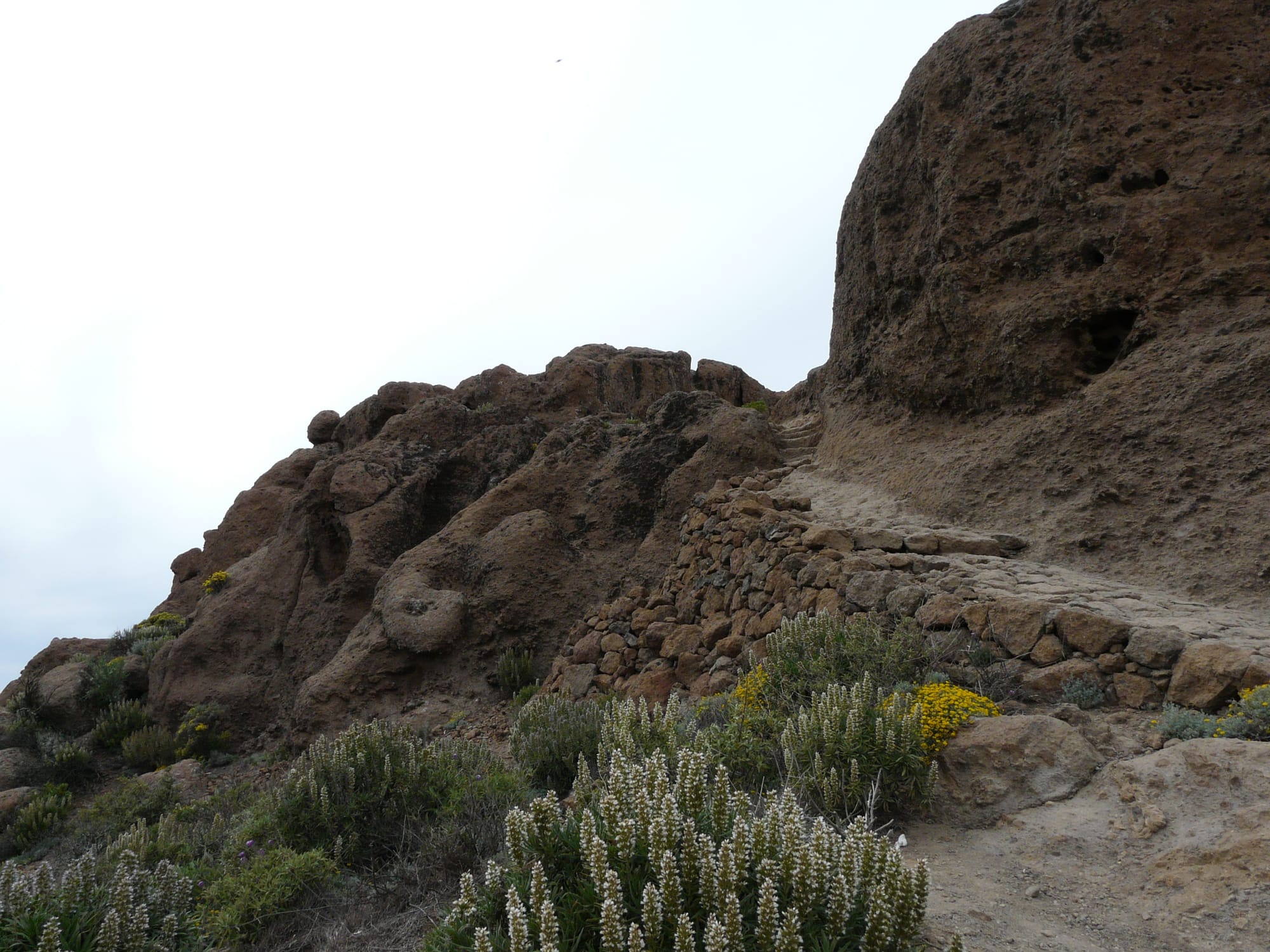
Roque Nublo
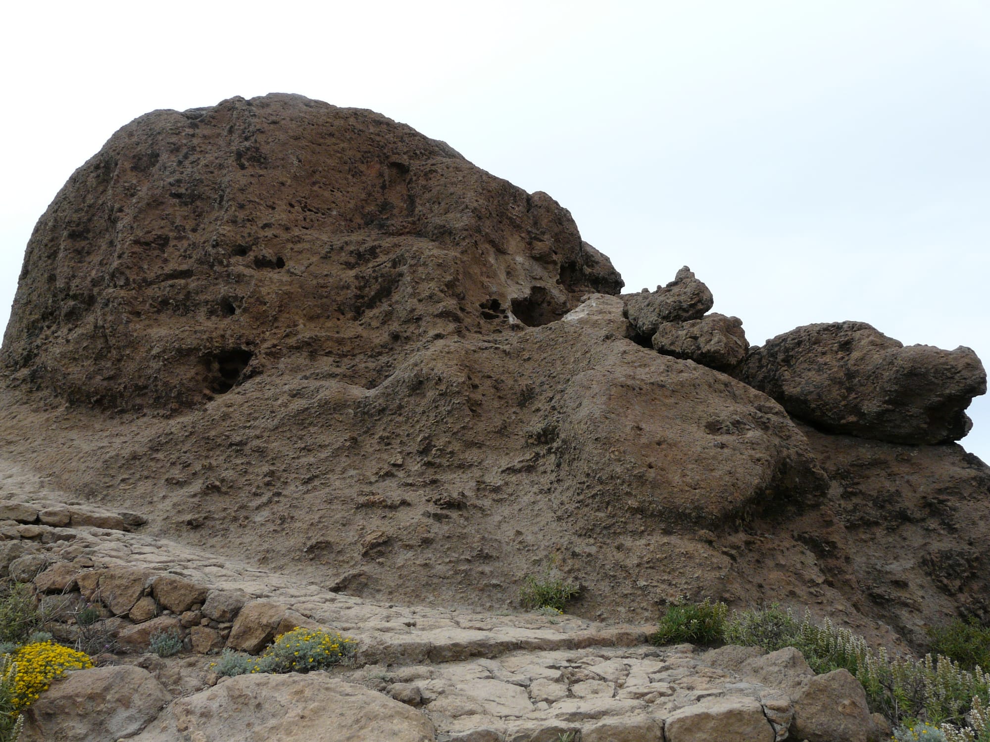
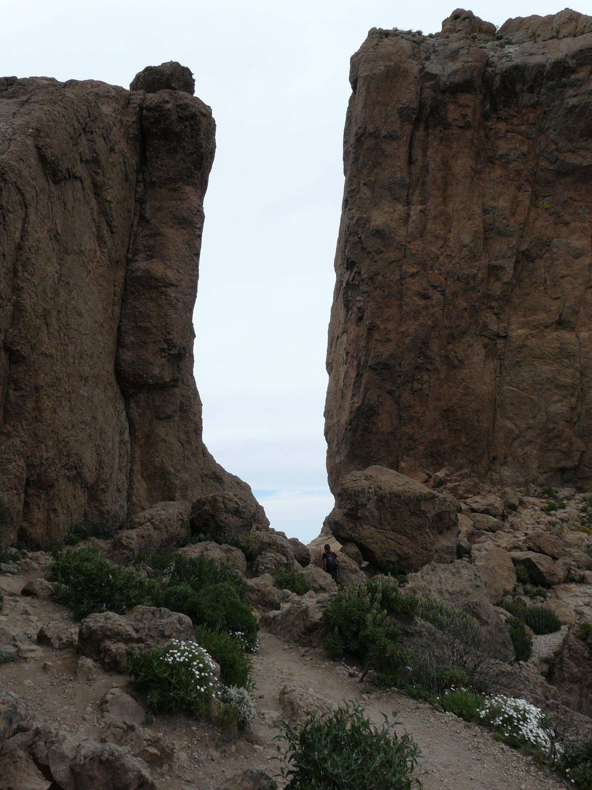
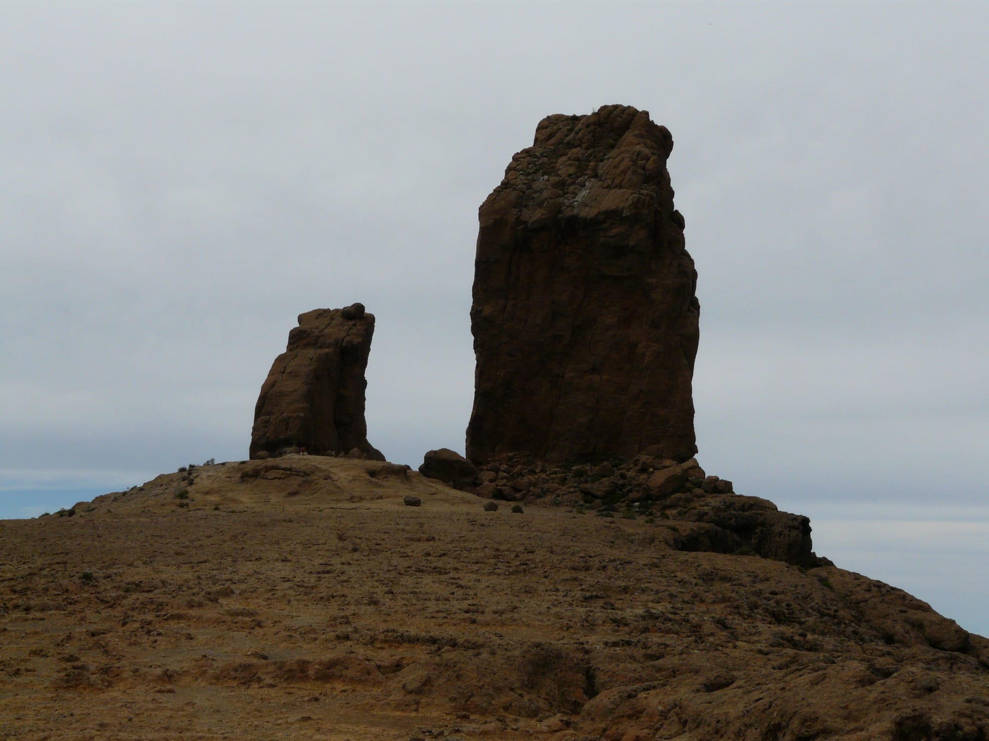
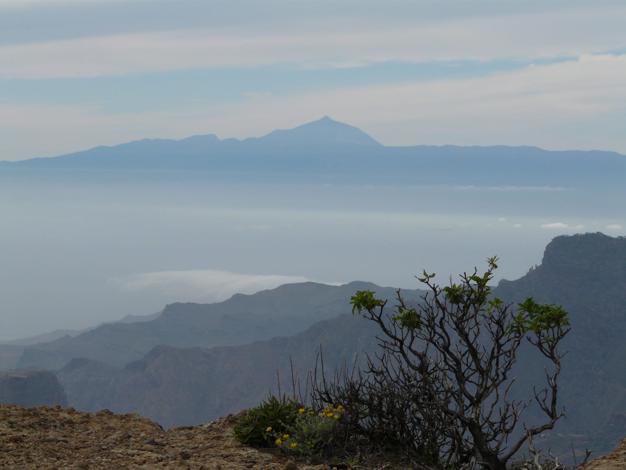
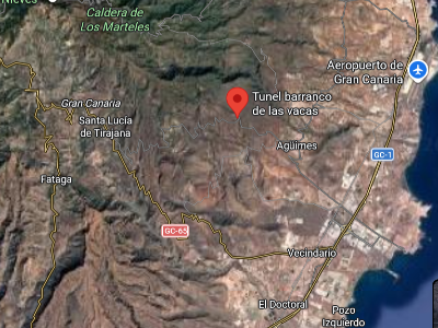
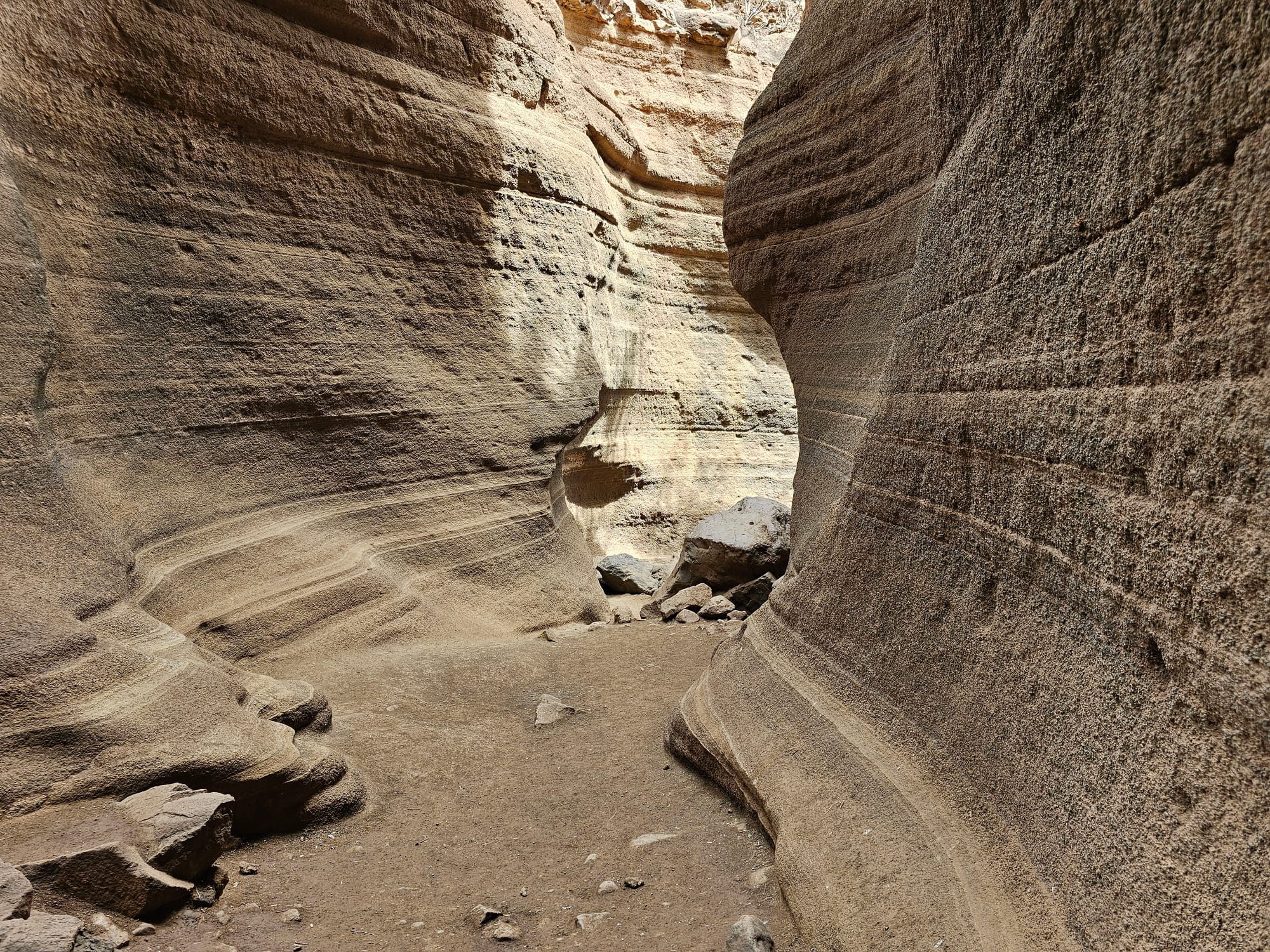
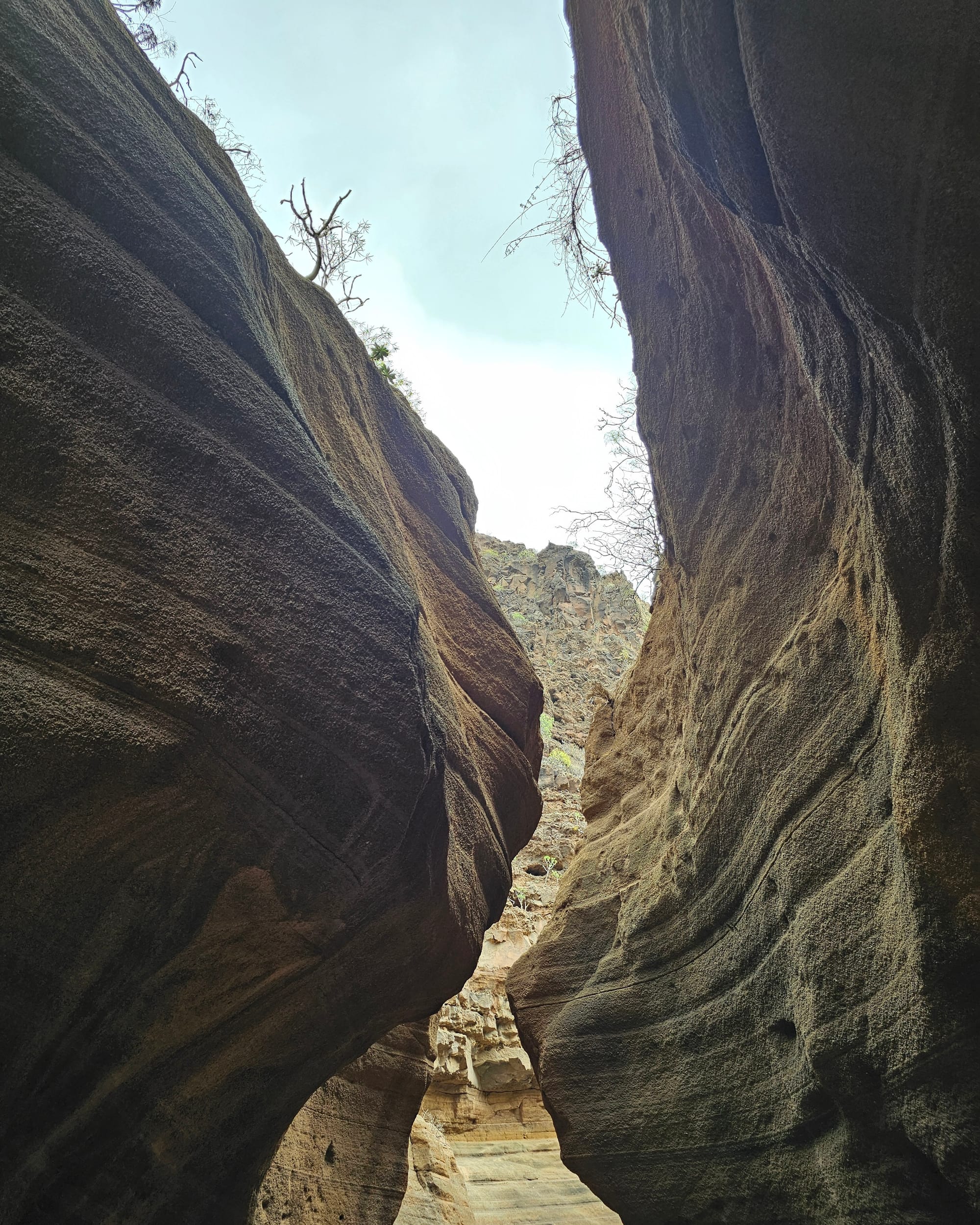
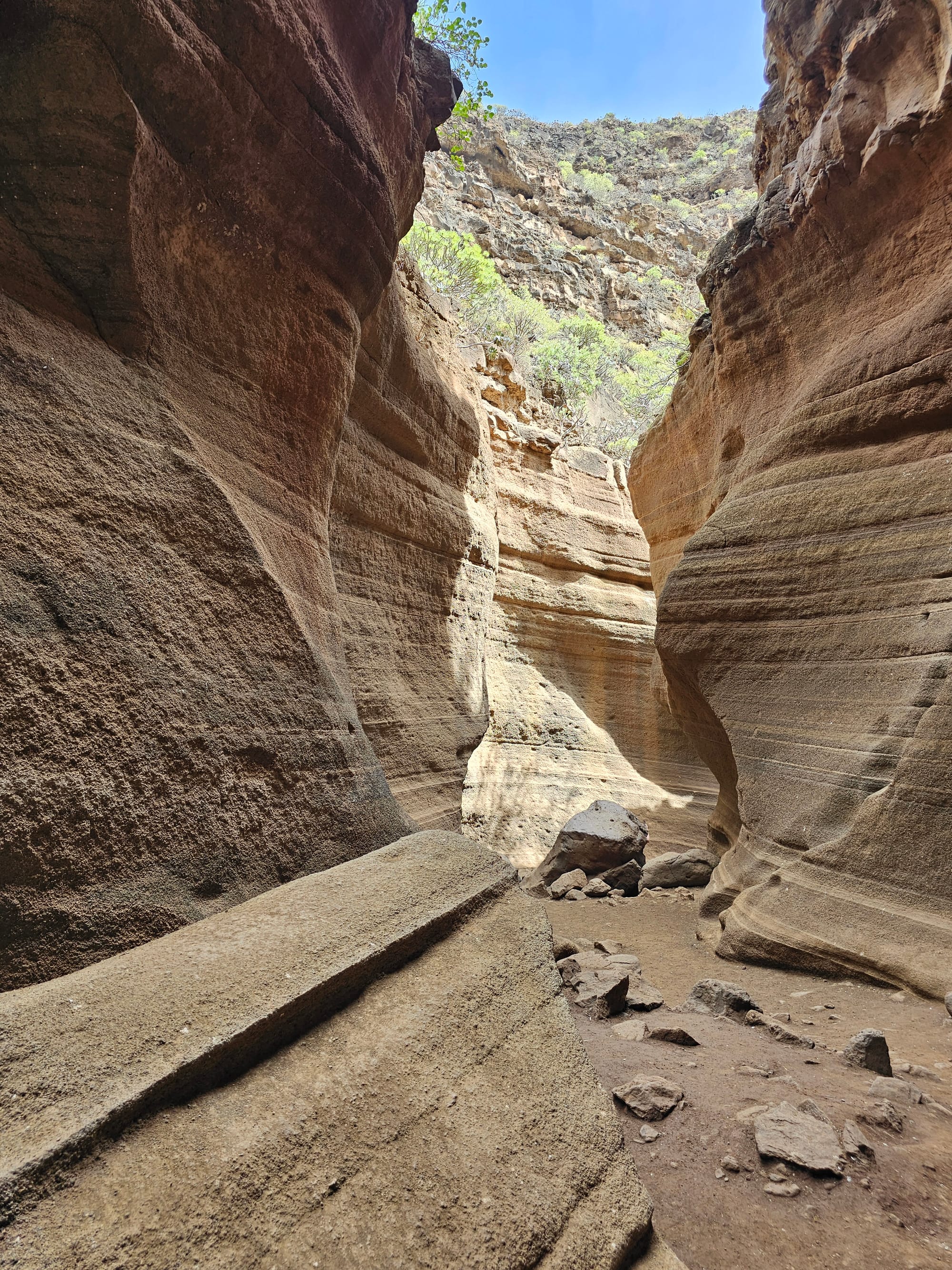
Barranco de las vacas, road GC-550
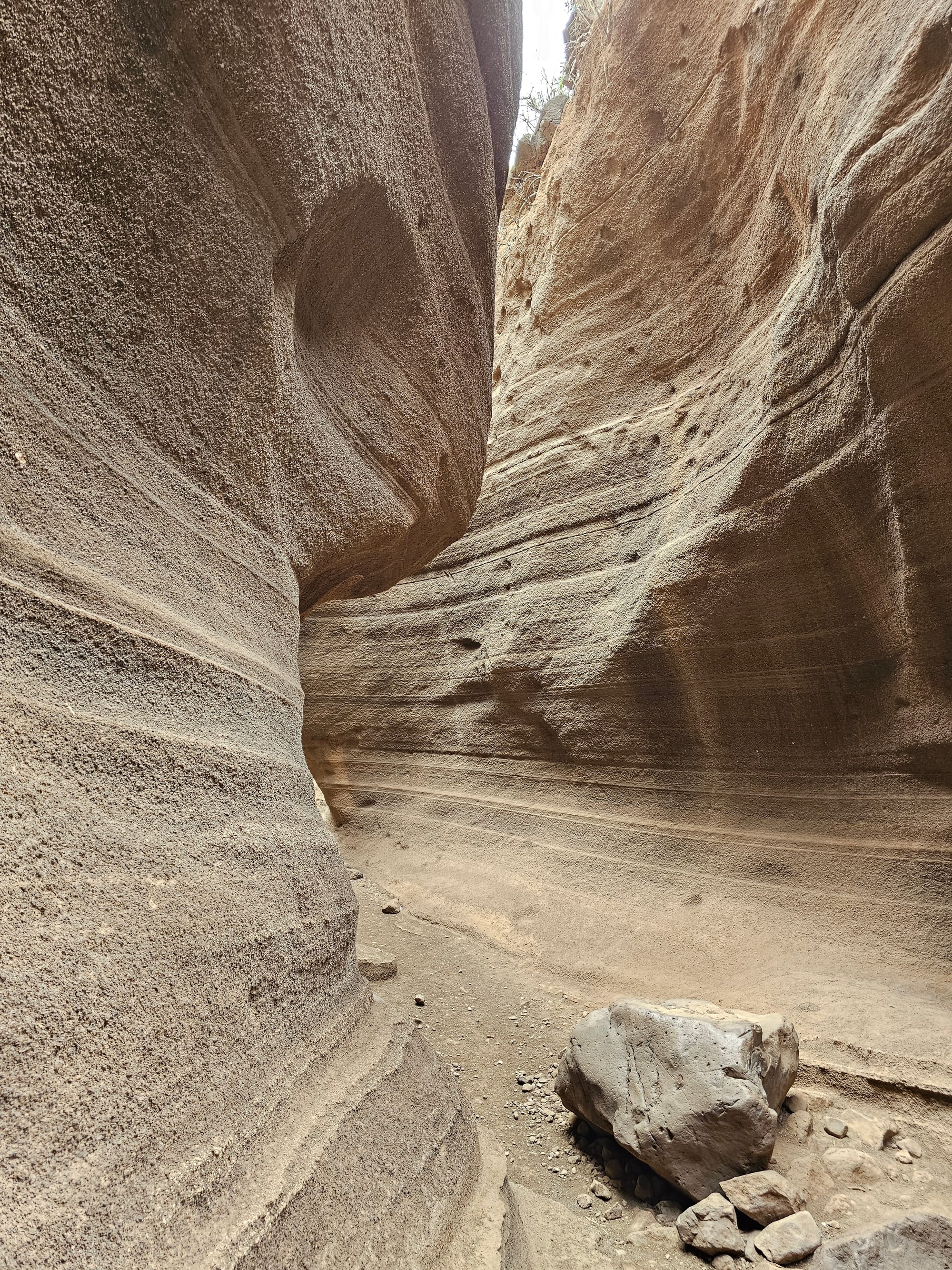
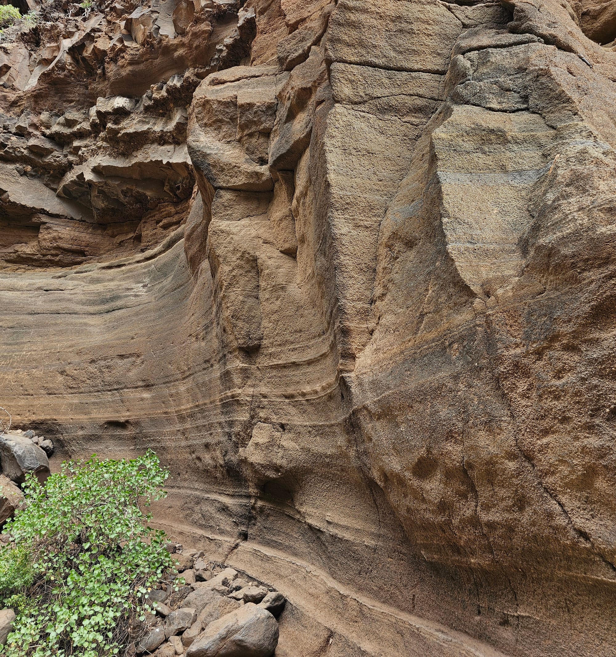
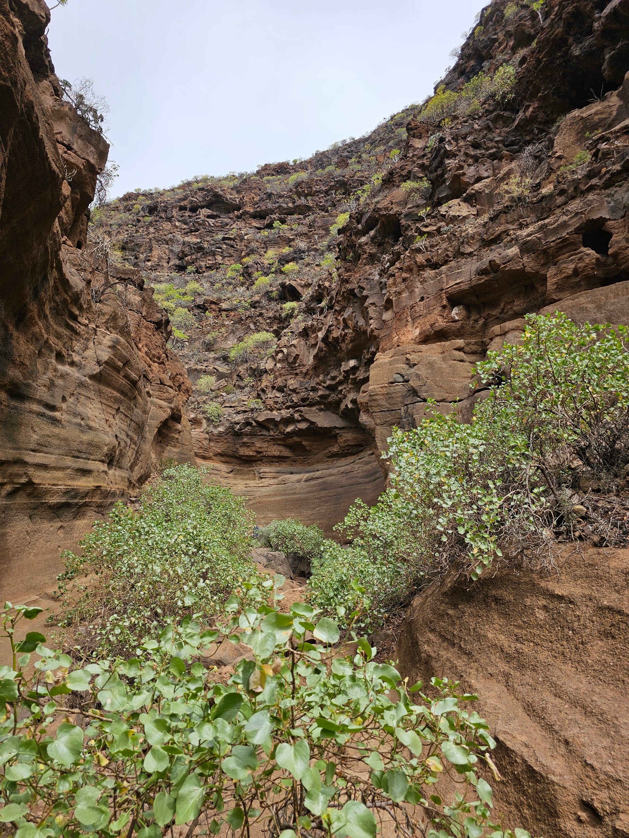
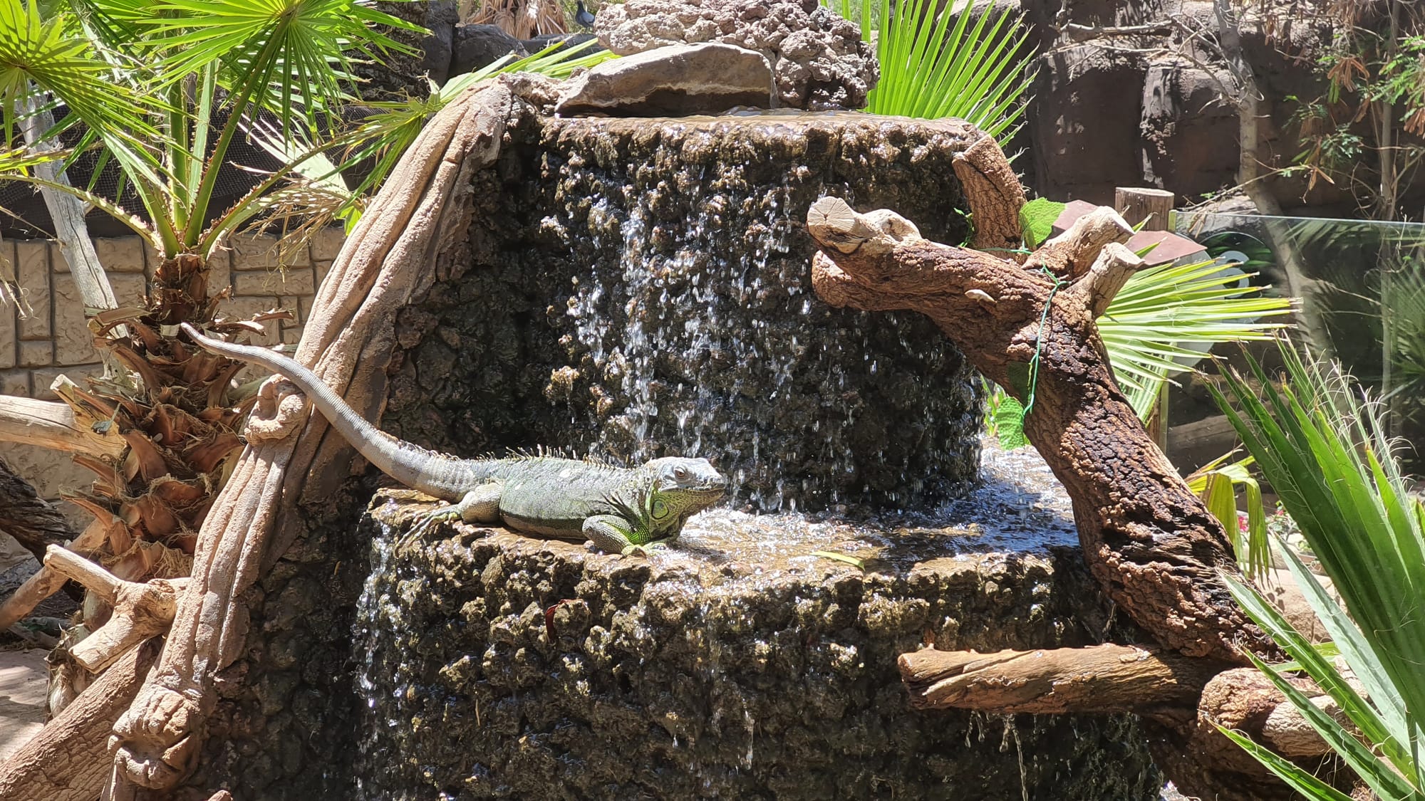
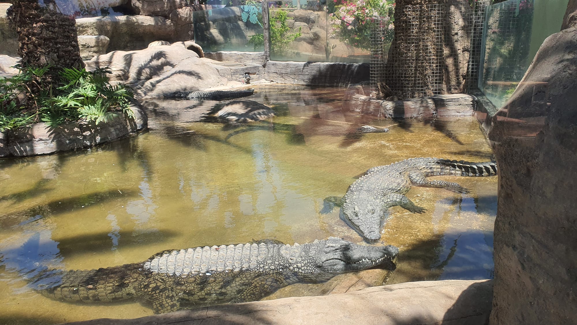
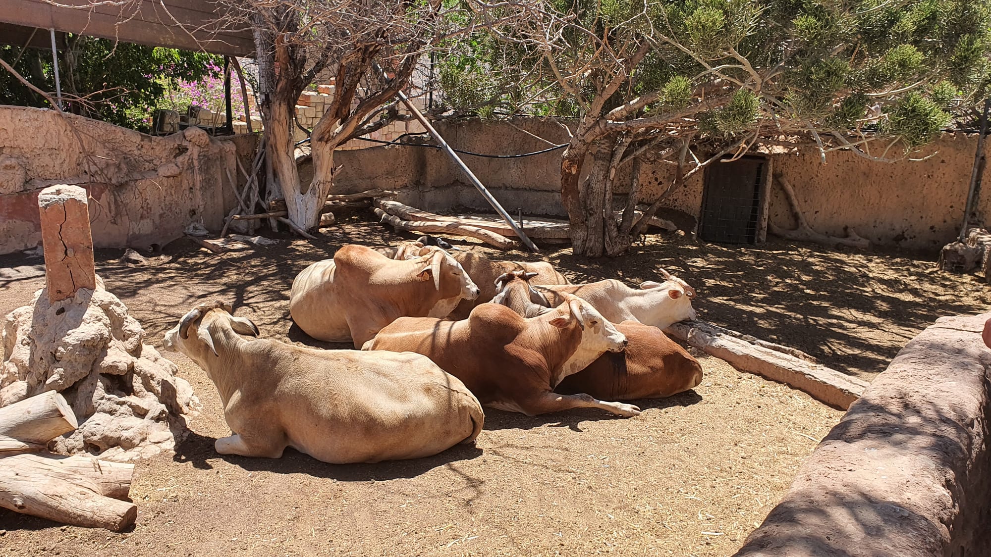
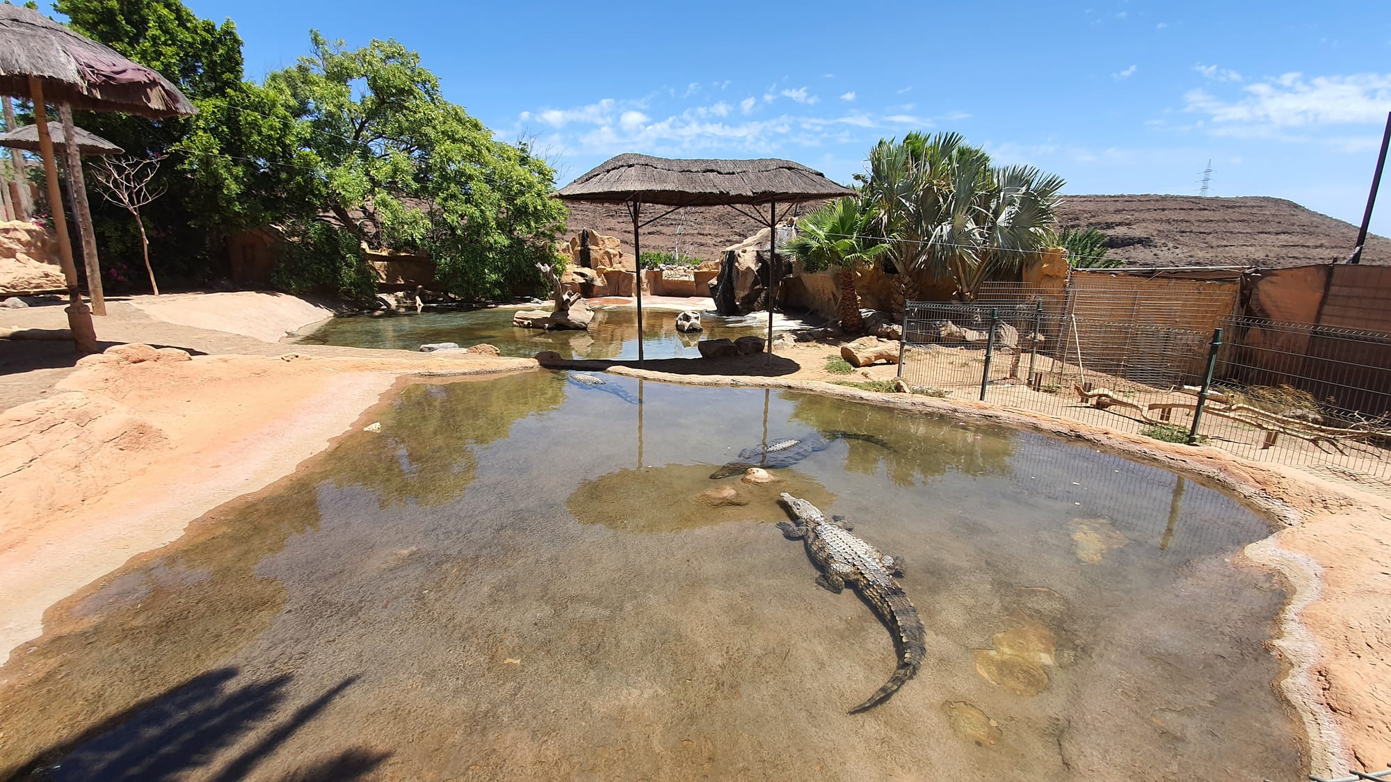
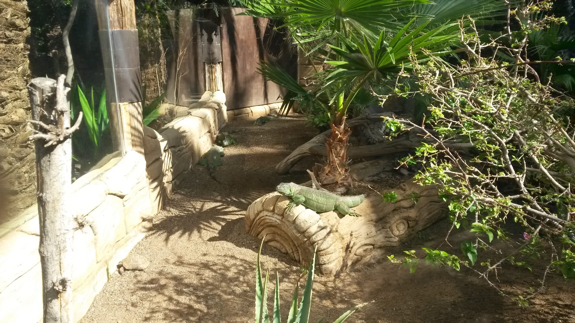
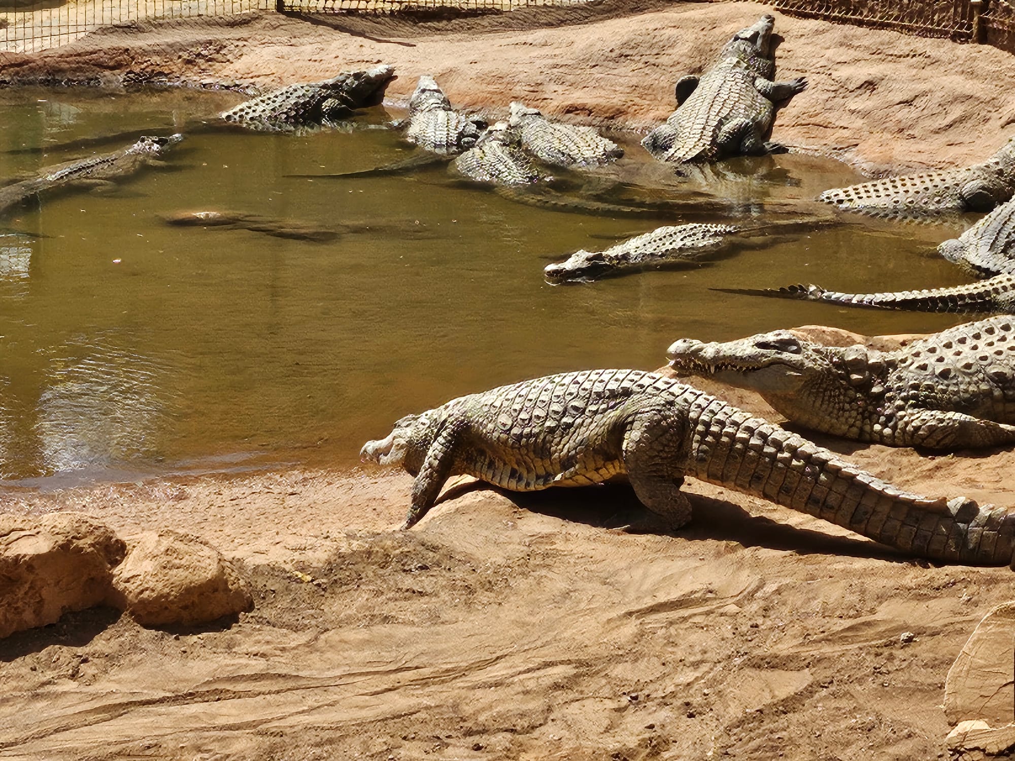
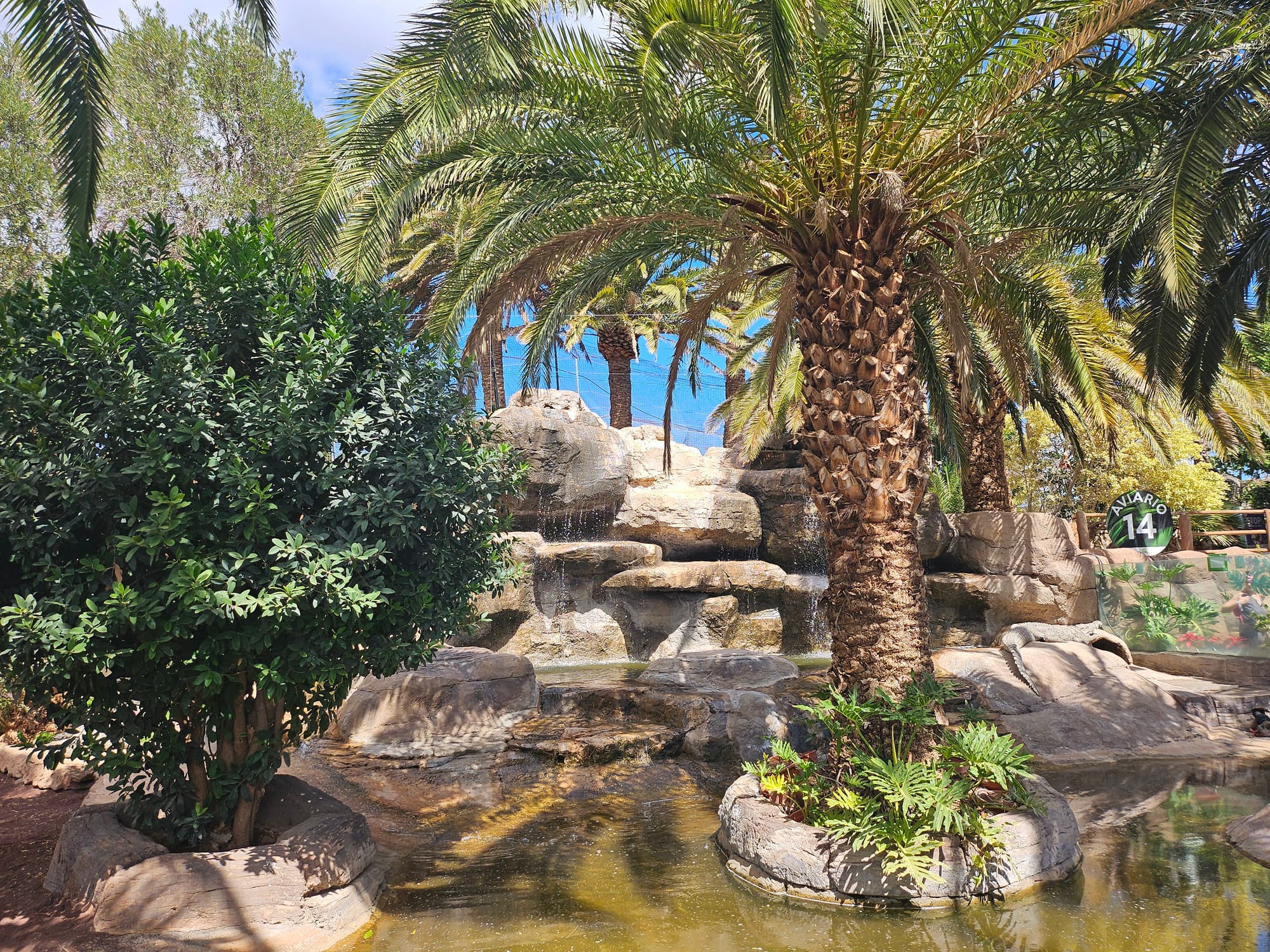
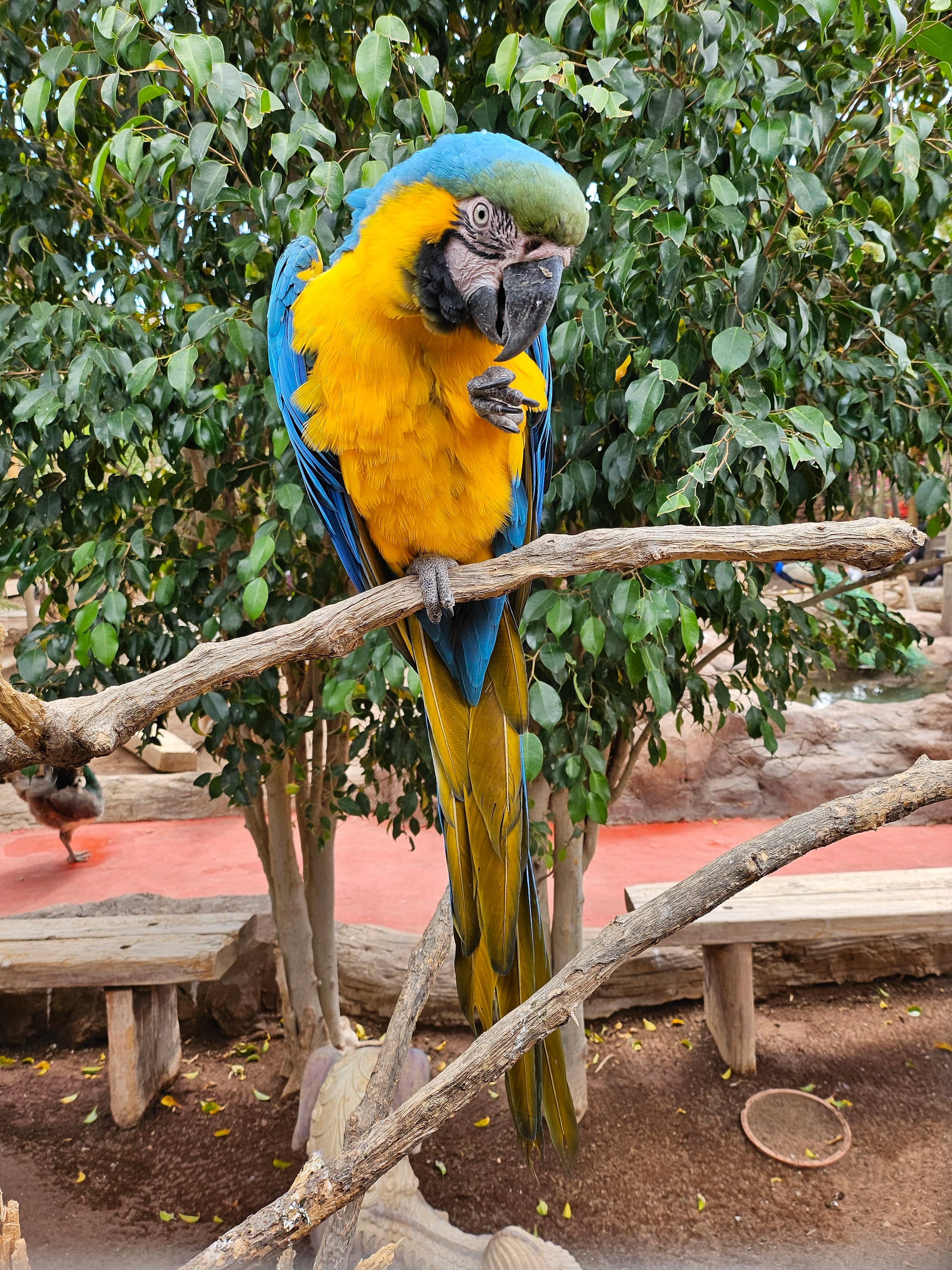
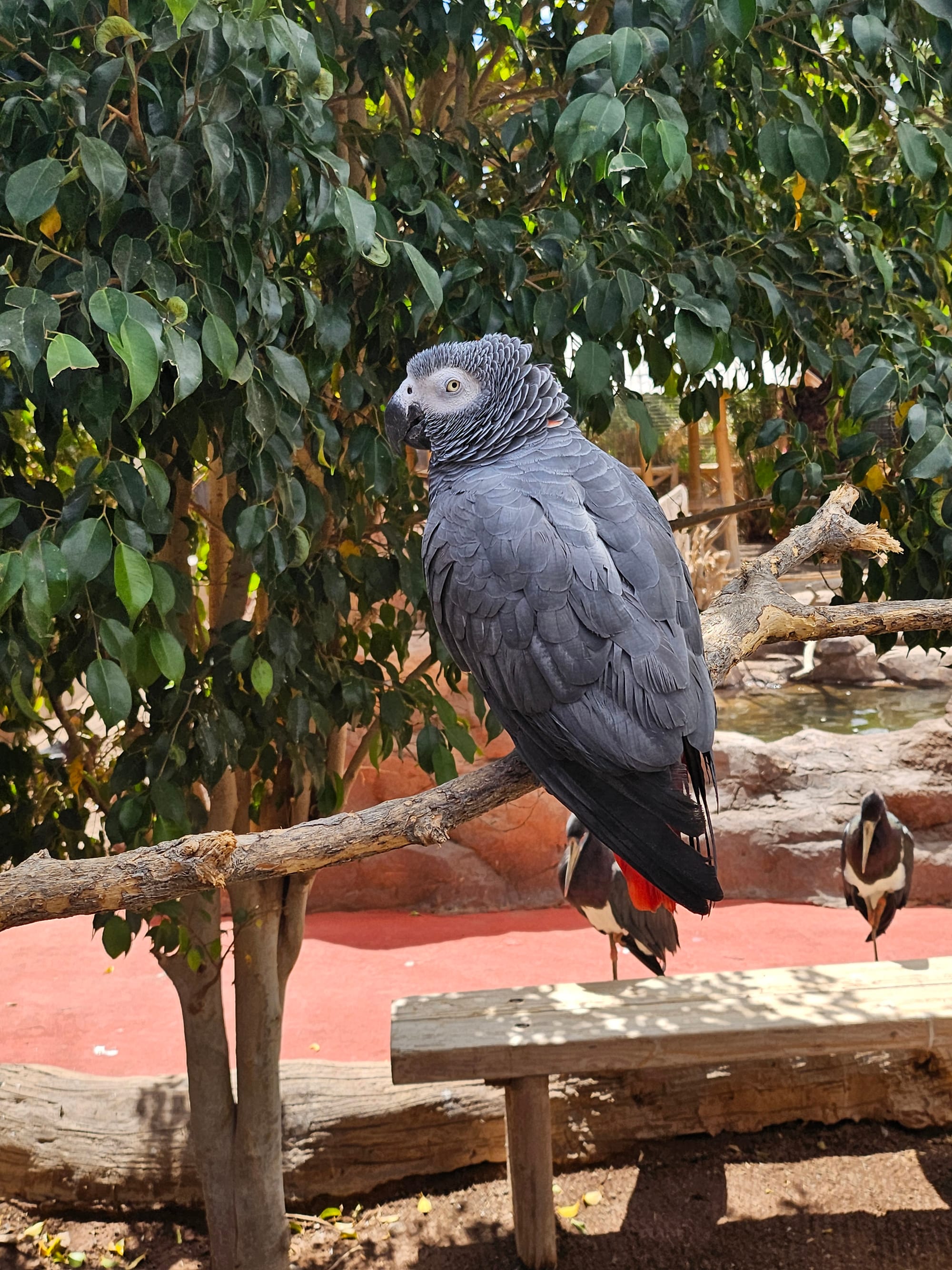
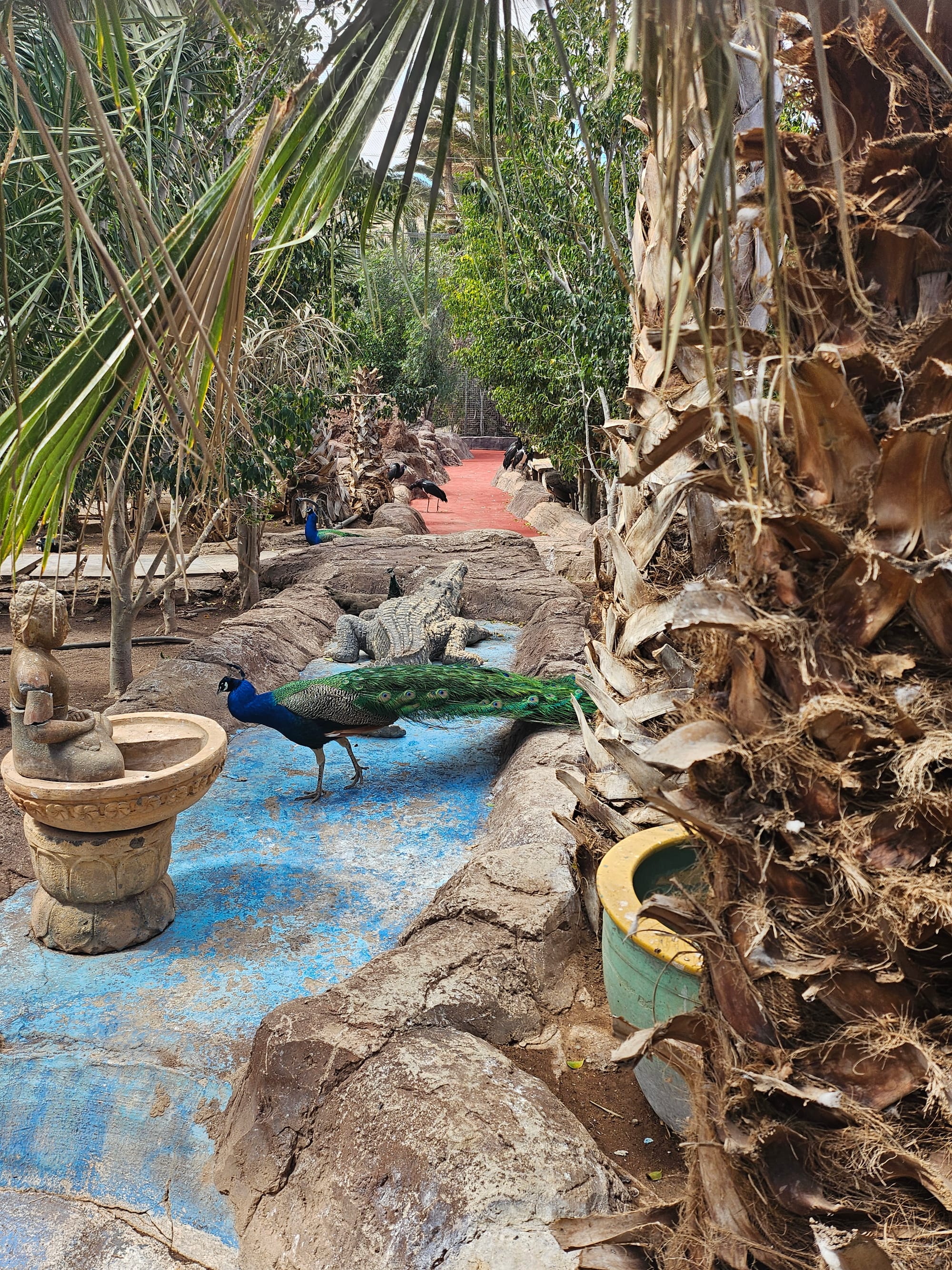
Cocodrillo Park

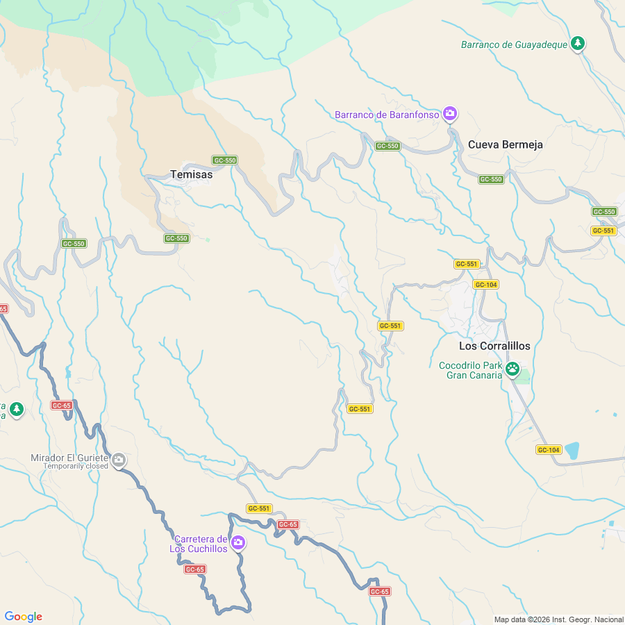
"COCODRILO PARK is home to many animals that have been stolen or simply found by SEPRONA (Nature Protection Service) and individuals who did not know the risks that their pets had when they became adults."

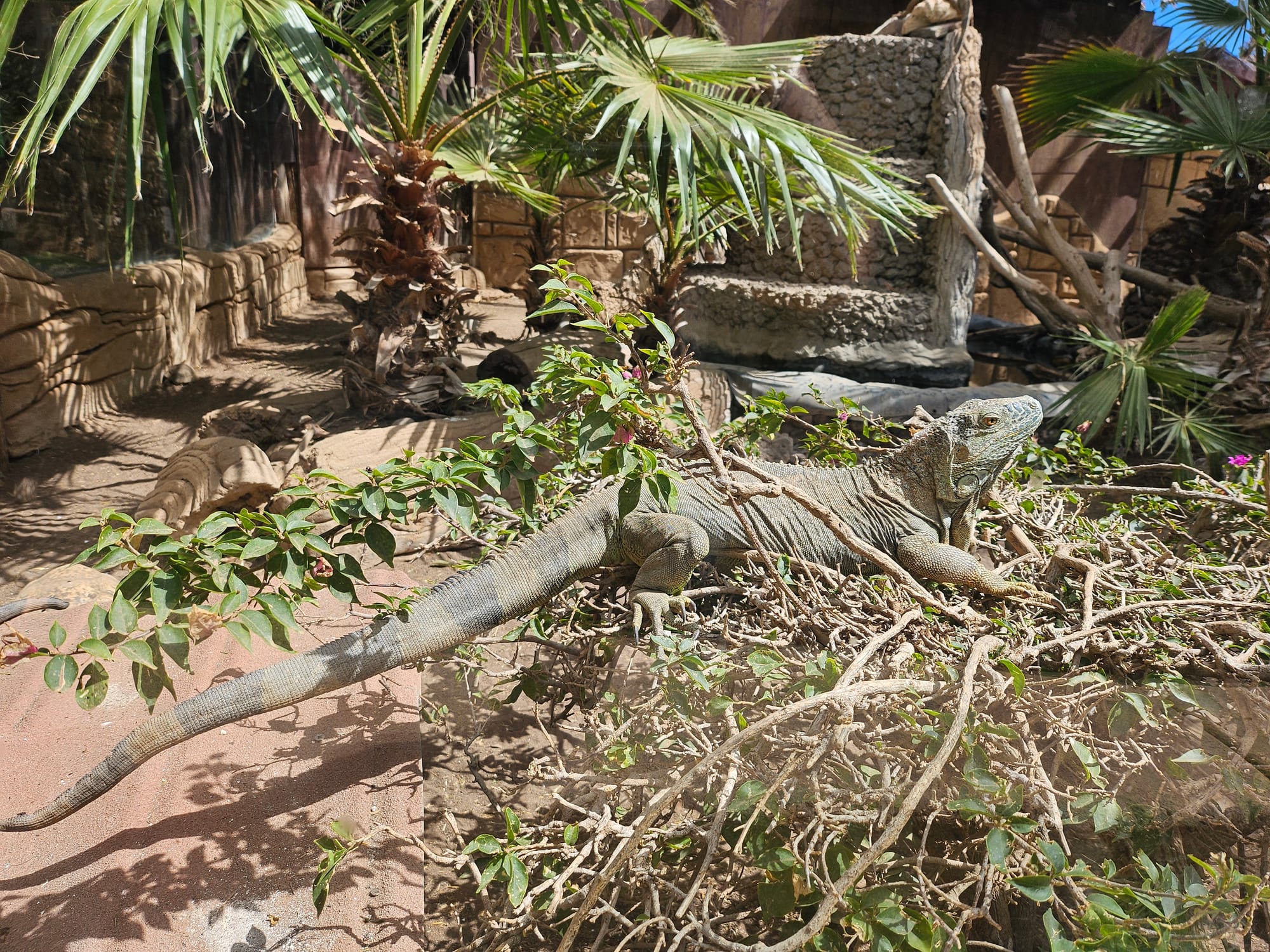
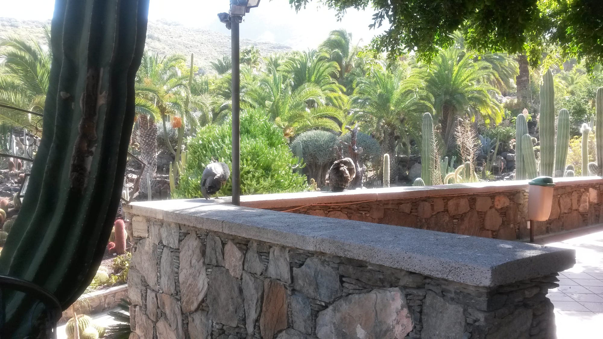
Cactualdea Park


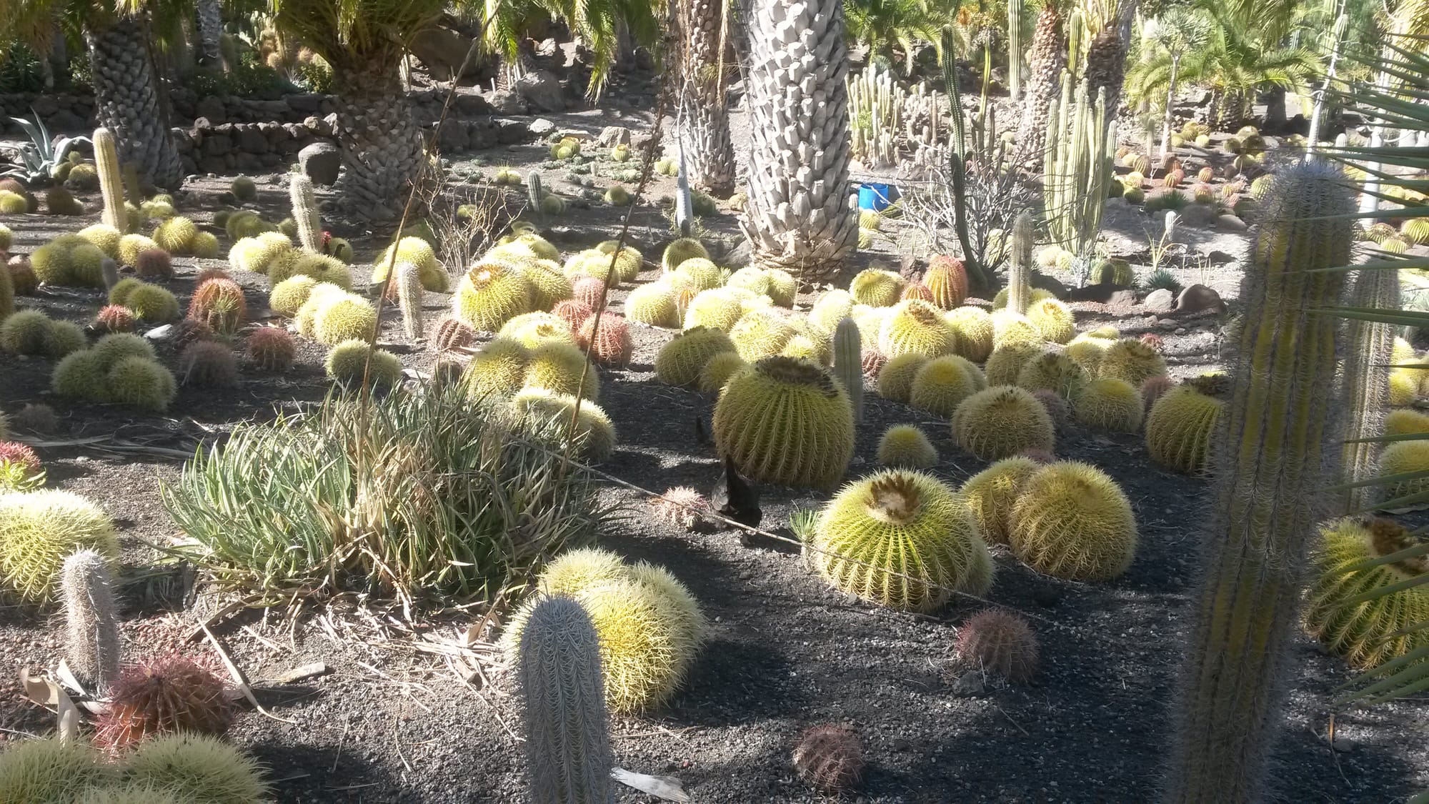
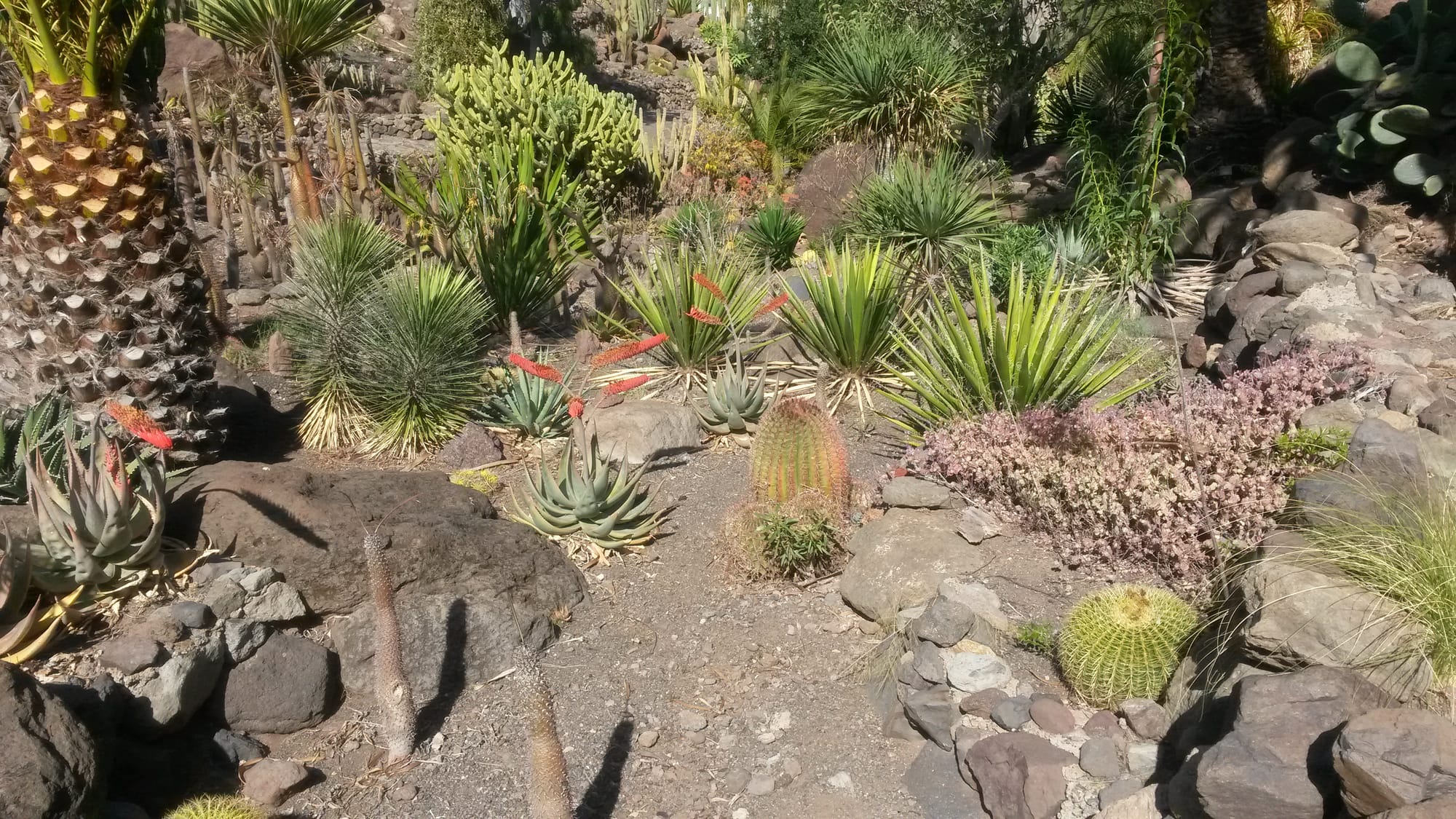
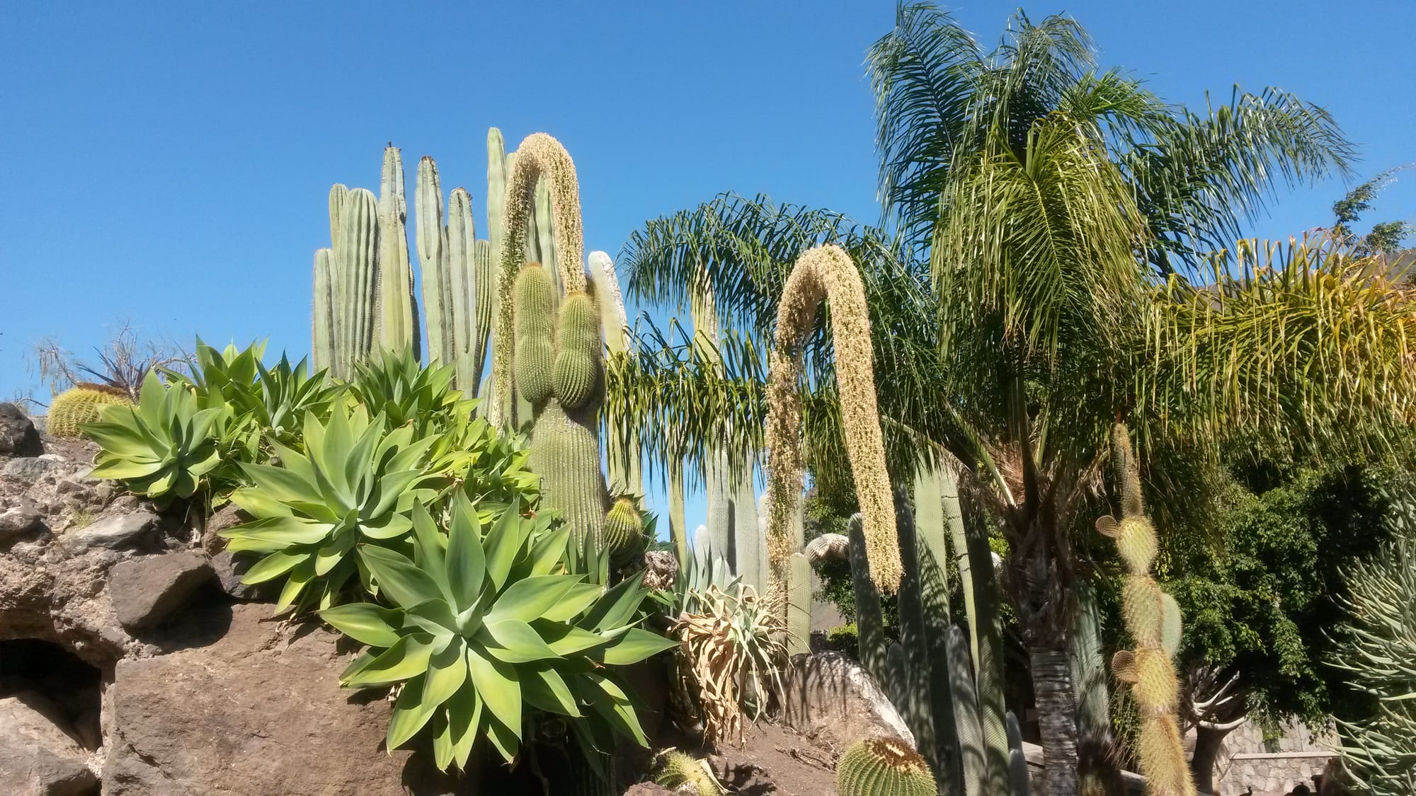
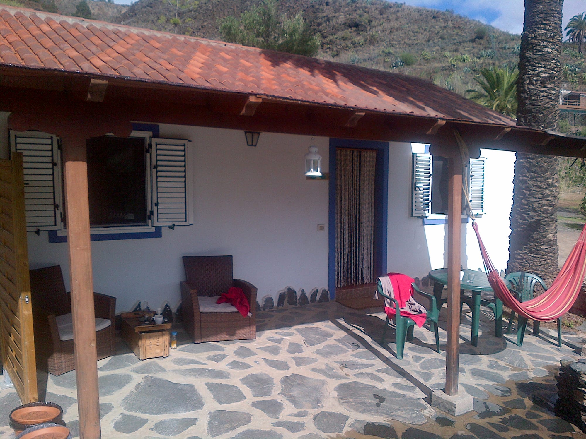
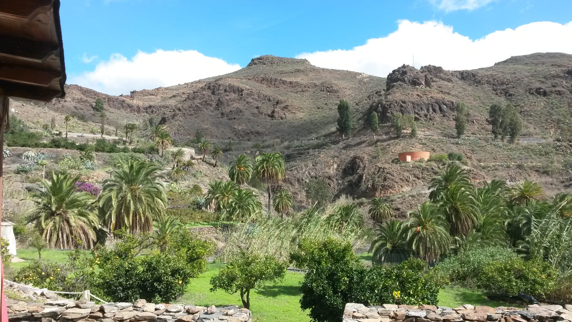
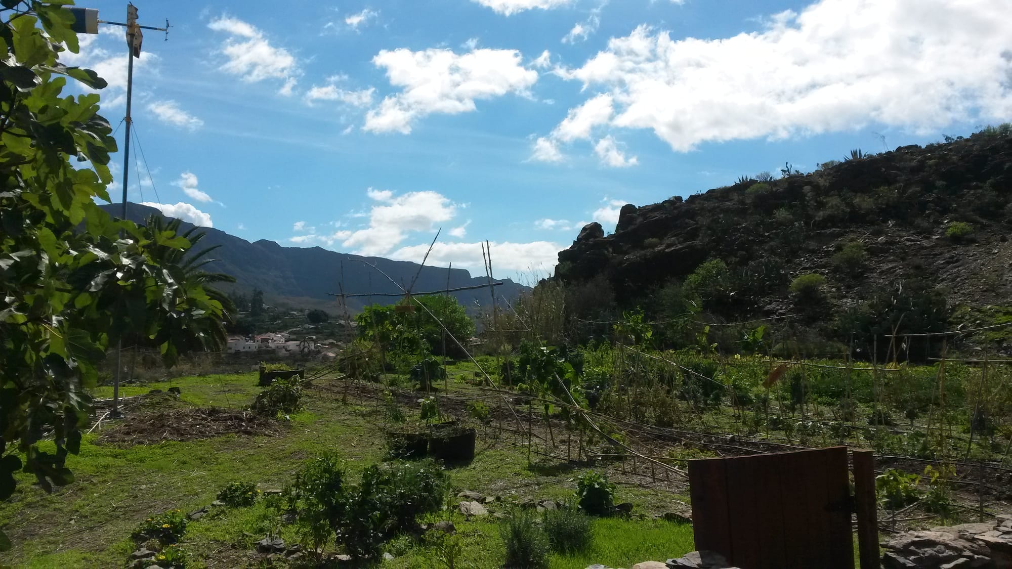
Eco Tara
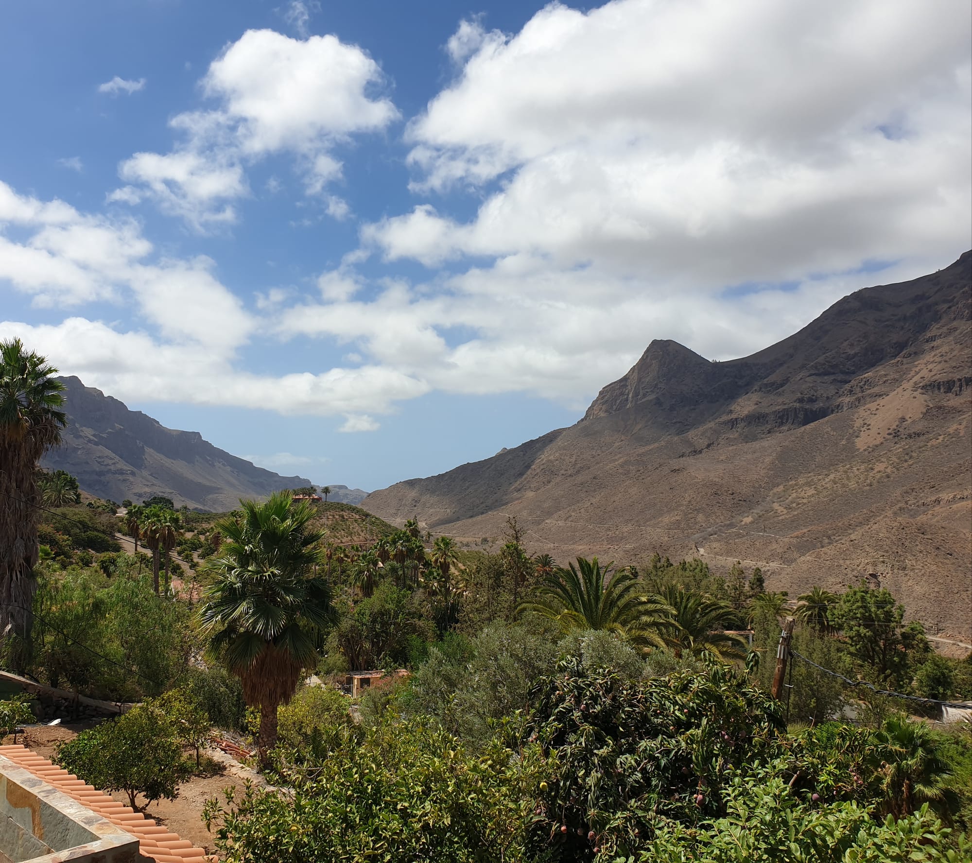
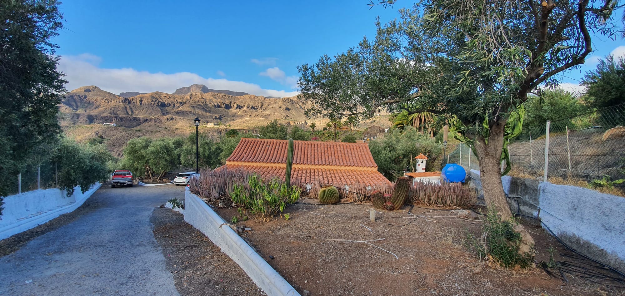
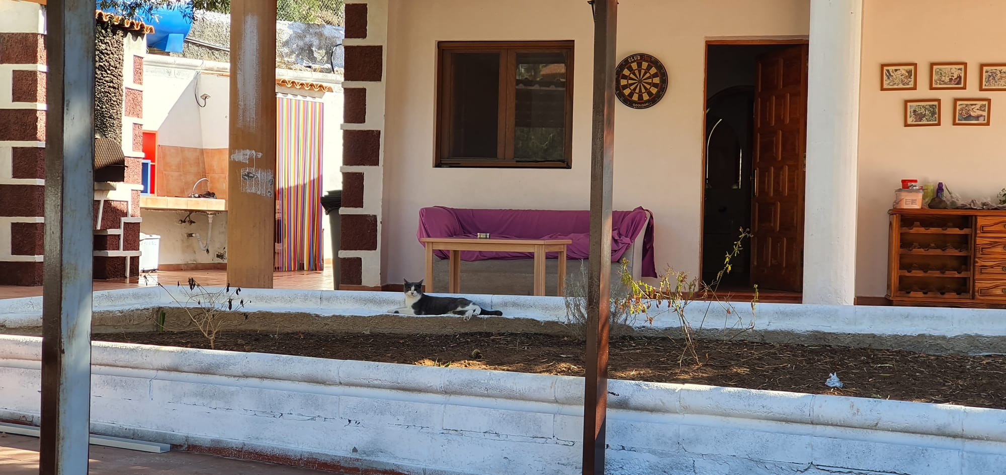
Finca Thomas and Puri

Number of wild species in the Canary Islands by taxonomic groups and by islands
 Department of Environment and Territorial Planning. Government of the Canary Islands