Fuerteventura
Fuerteventura is the Canary Island closest to the African coast (100 km). Geologically, it is linked to Lanzarote, as the two islands form the emerged parts of the Eastern Canary Ridge, a submarine volcanic ridge that runs roughly parallel to the African coast.
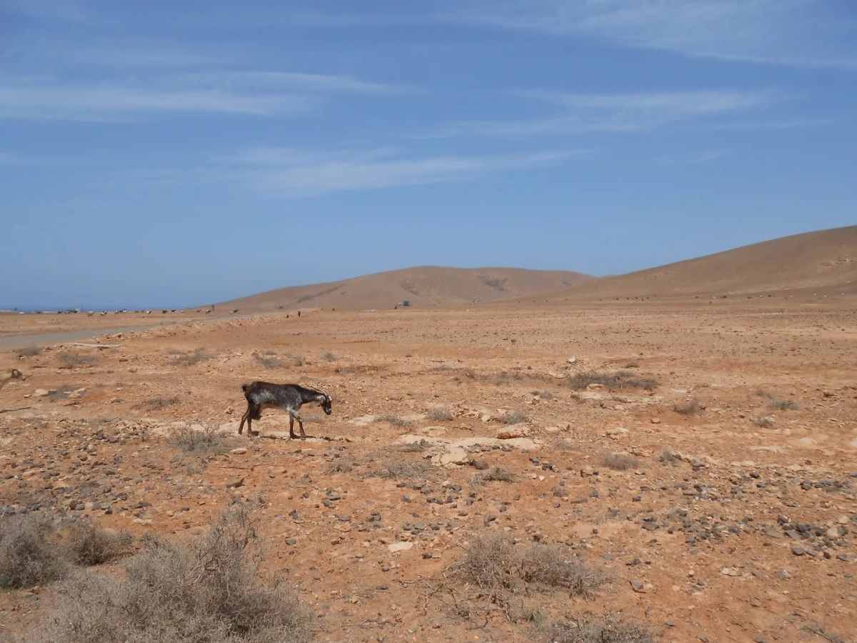
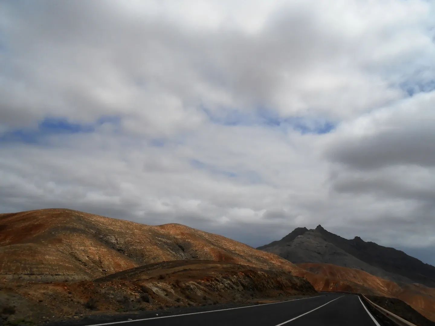
Fuerteventura is the oldest of the Canary Islands, with its oldest rocks dating back around 20 million years. Its great age is evident in the landscape, which has been extensively shaped by erosion. The island has extensive sandy areas and coastal dunes, particularly around Corralejo in the north. In the west and centre of the island, the landscape is dominated by ancient volcanic massifs, while the south is characterised by mountains and long, arid valleys. The island’s highest peak is Pico de la Zarza, at 807 metres.
Fuerteventura’s very arid climate has resulted in an almost complete lack of tree cover. The main habitat types on the island include steppe, sea cliffs, and extensive areas of desert and semi-desert
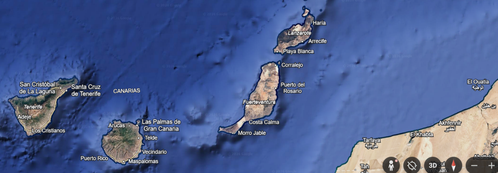
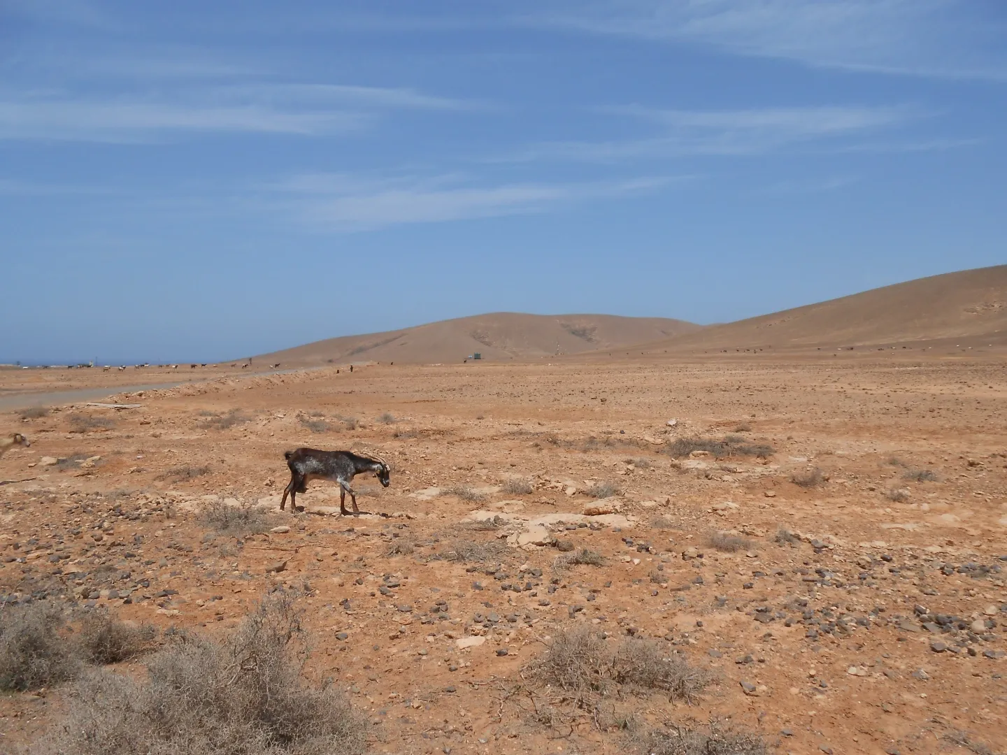
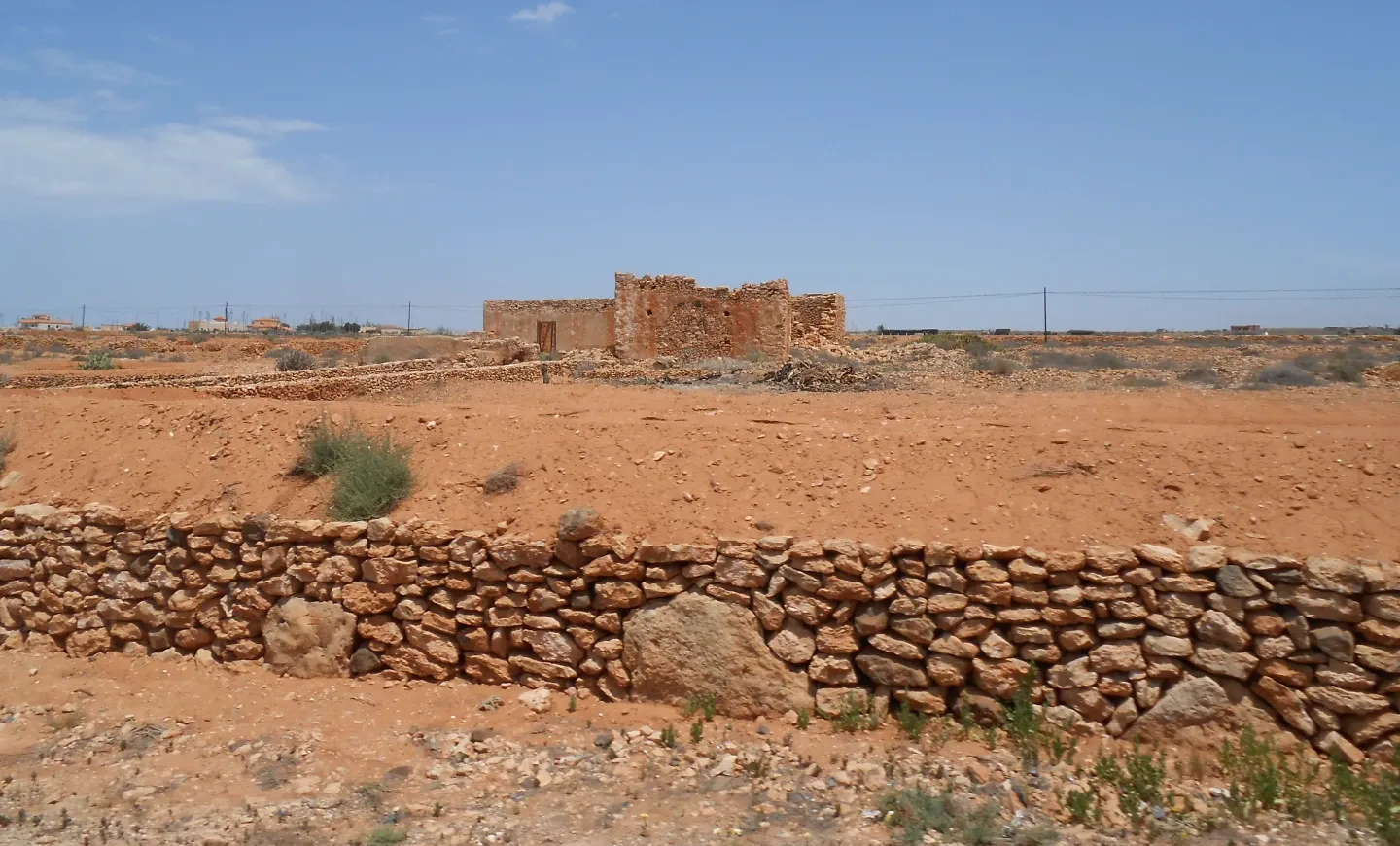
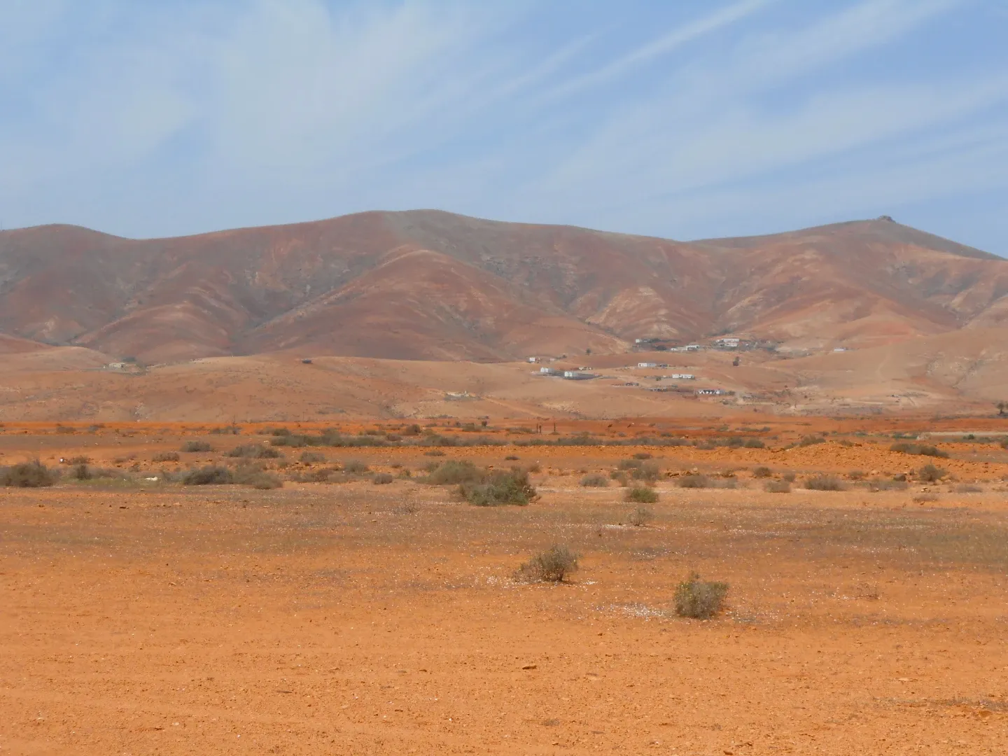
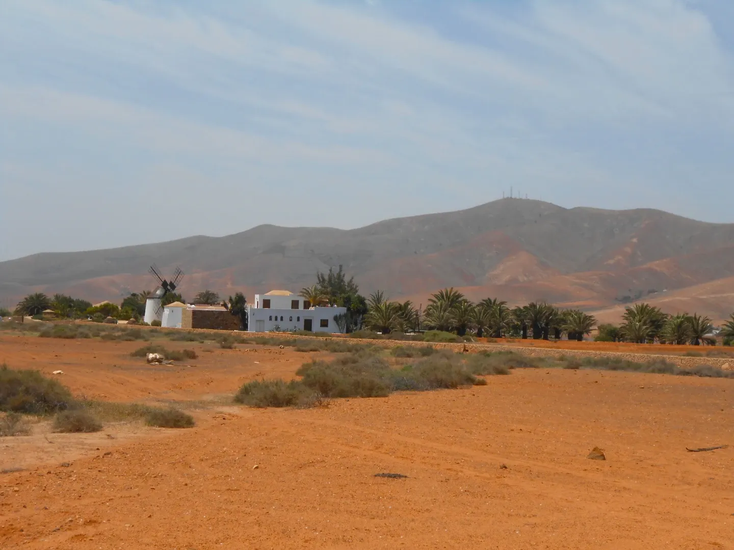
The Fuerteventura Biosphere Reserve protects 100 km of the western coastline, as well as volcanic landforms, mountains and 50 palaeontological sites with a rich fossil record.
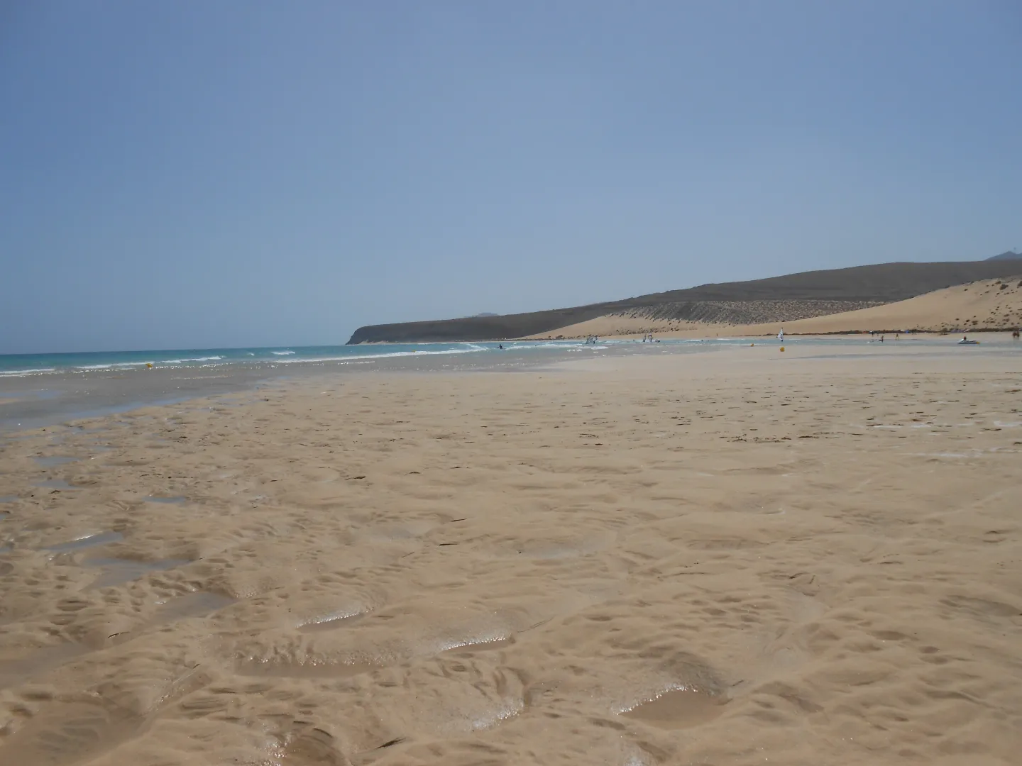
The East Coast
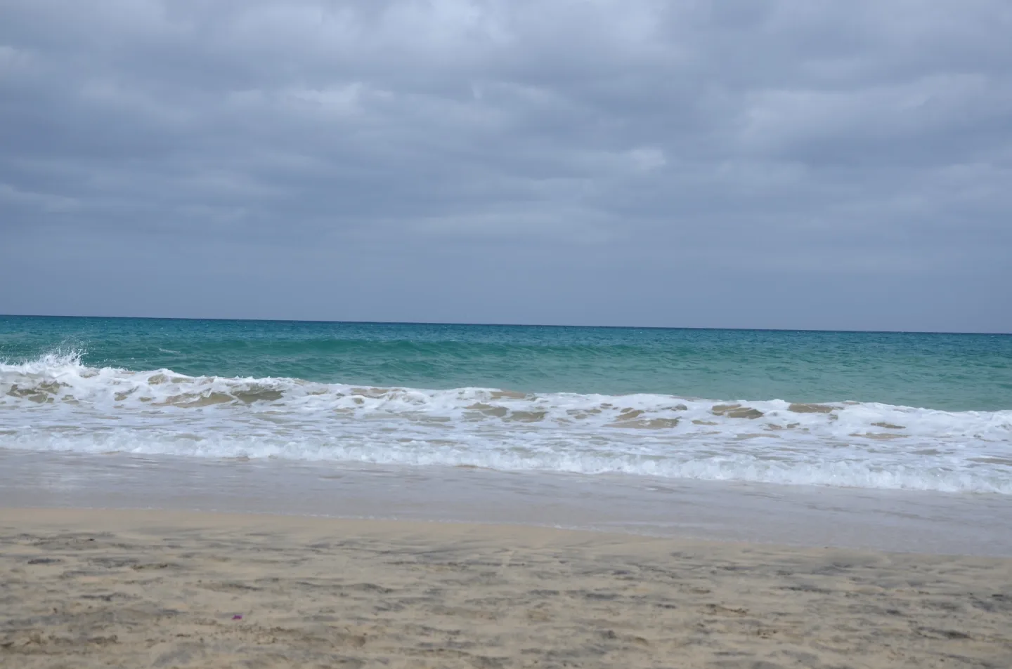
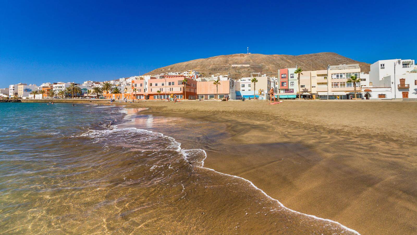
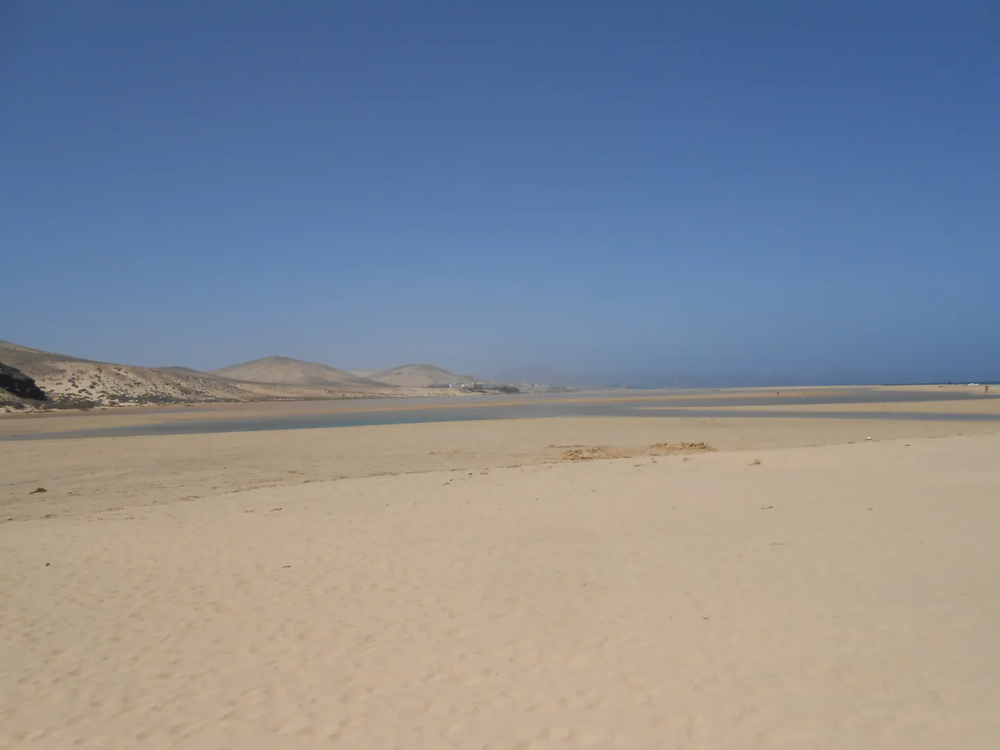
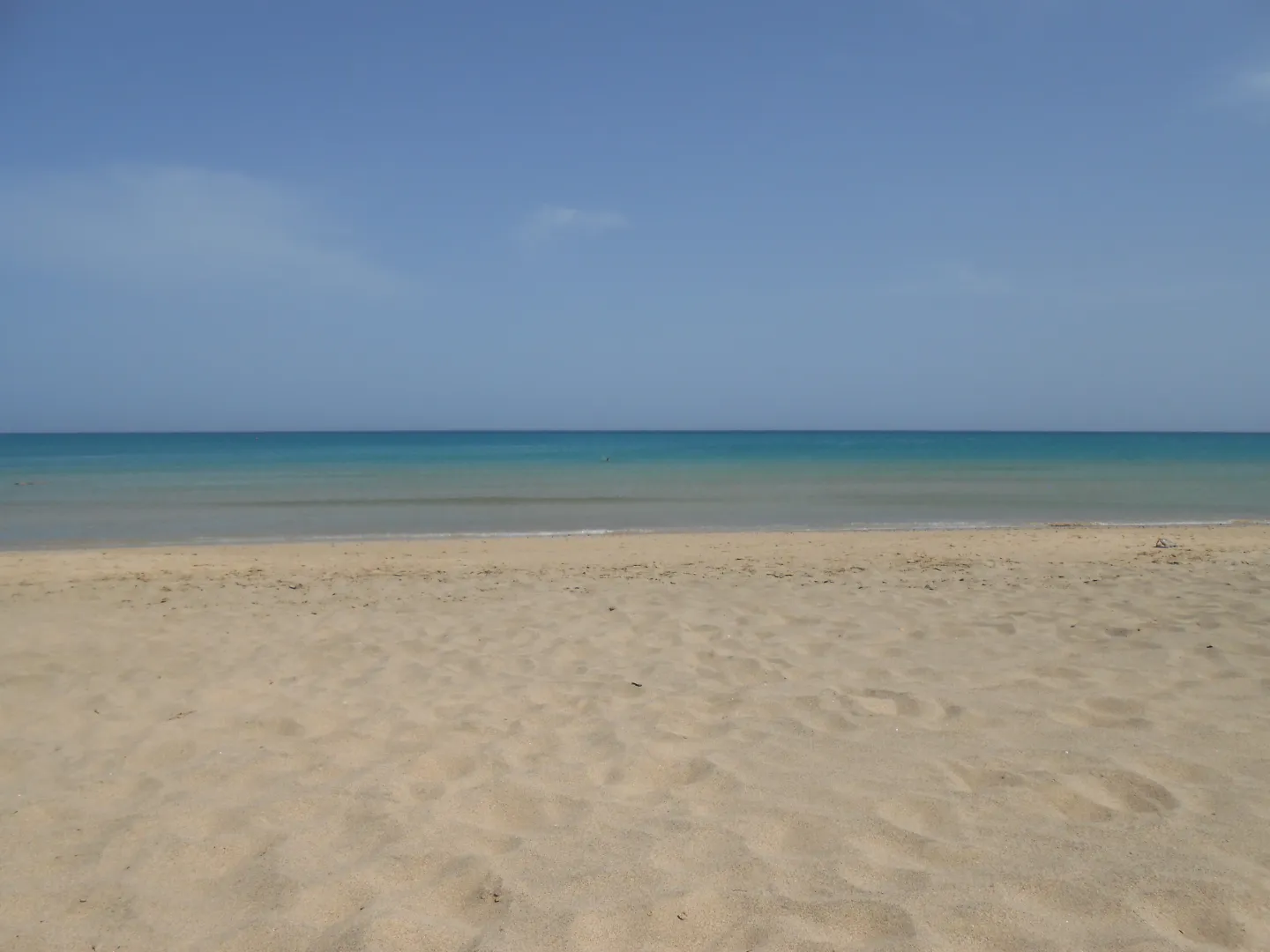
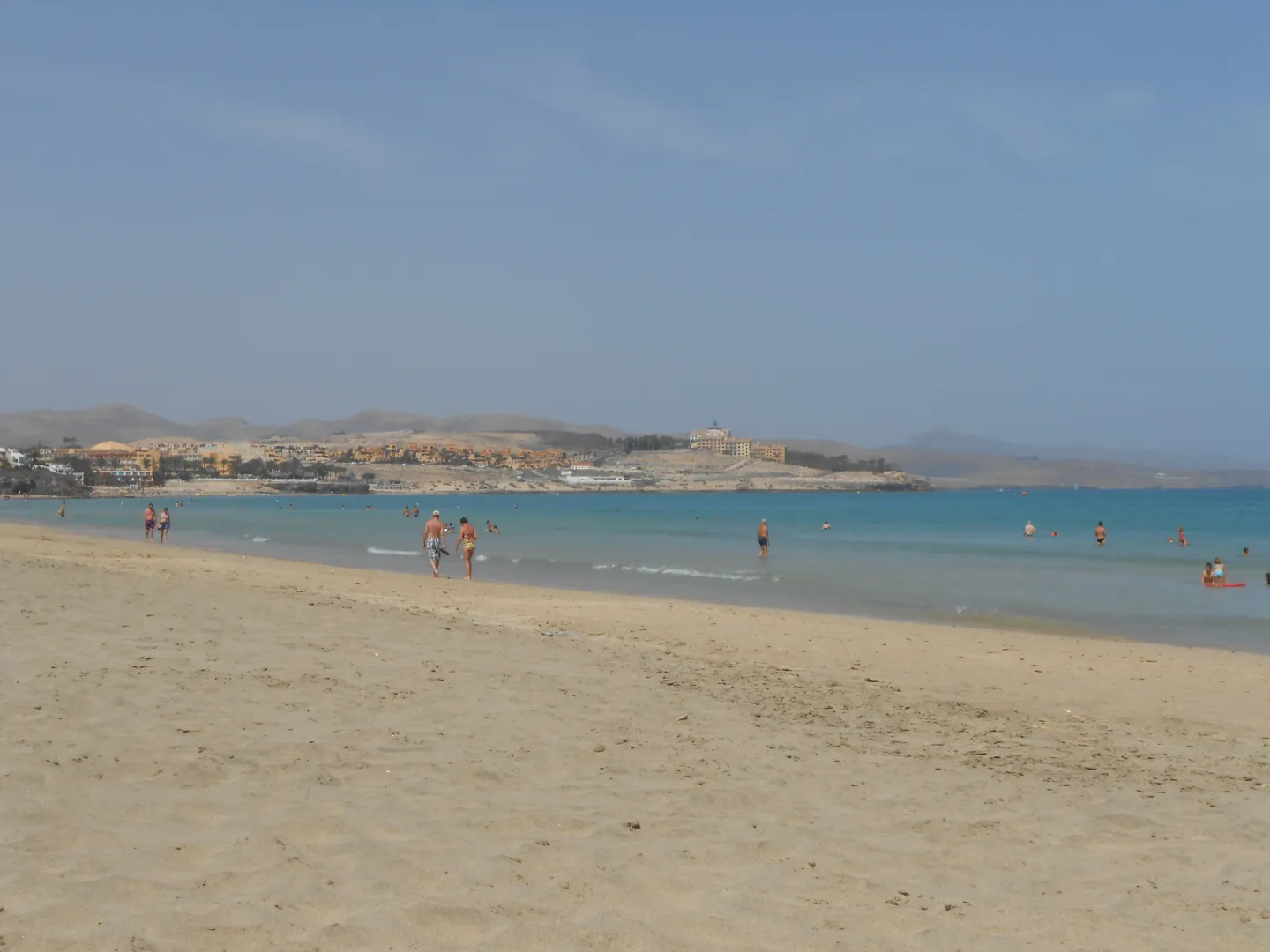
Fuerteventura has beautiful sandy beaches along its eastern coast. Much of the pale sand is composed of biogenic carbonate material derived from marine organisms.

The West Coast
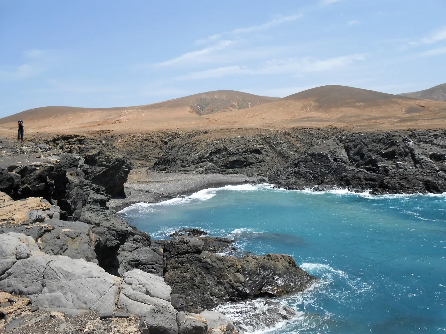
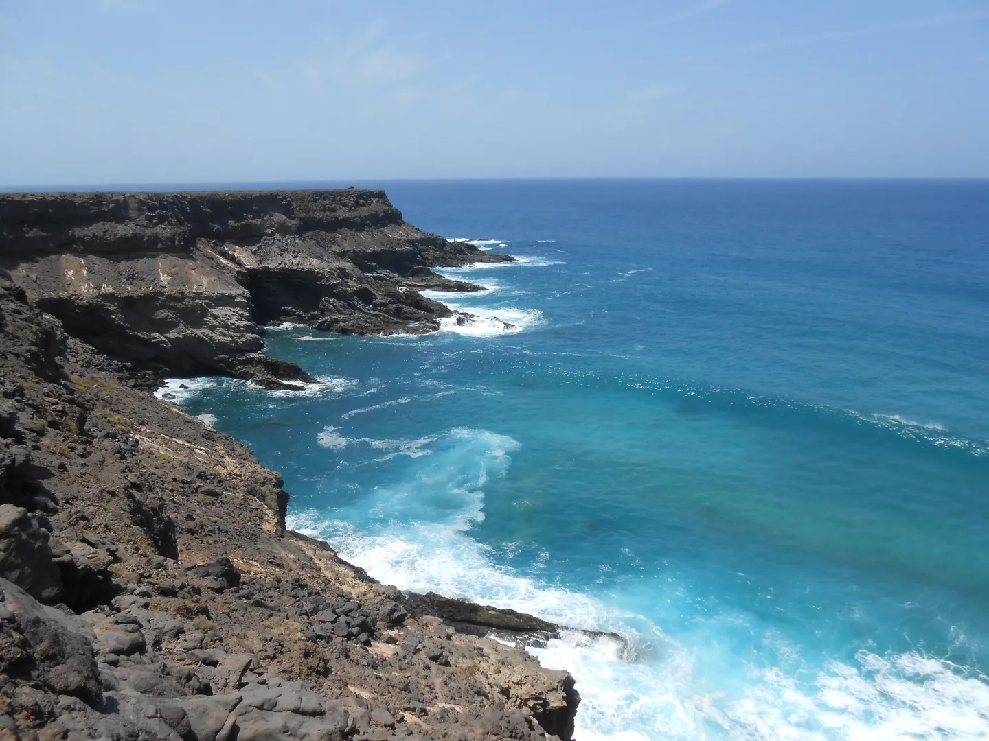
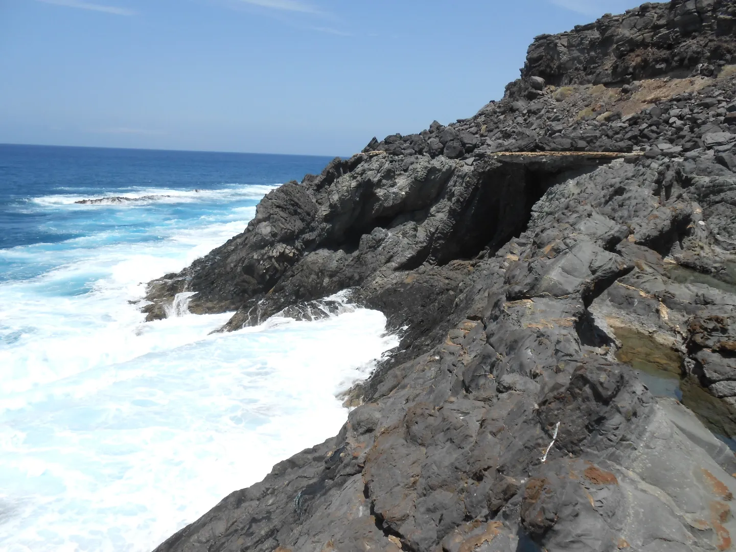
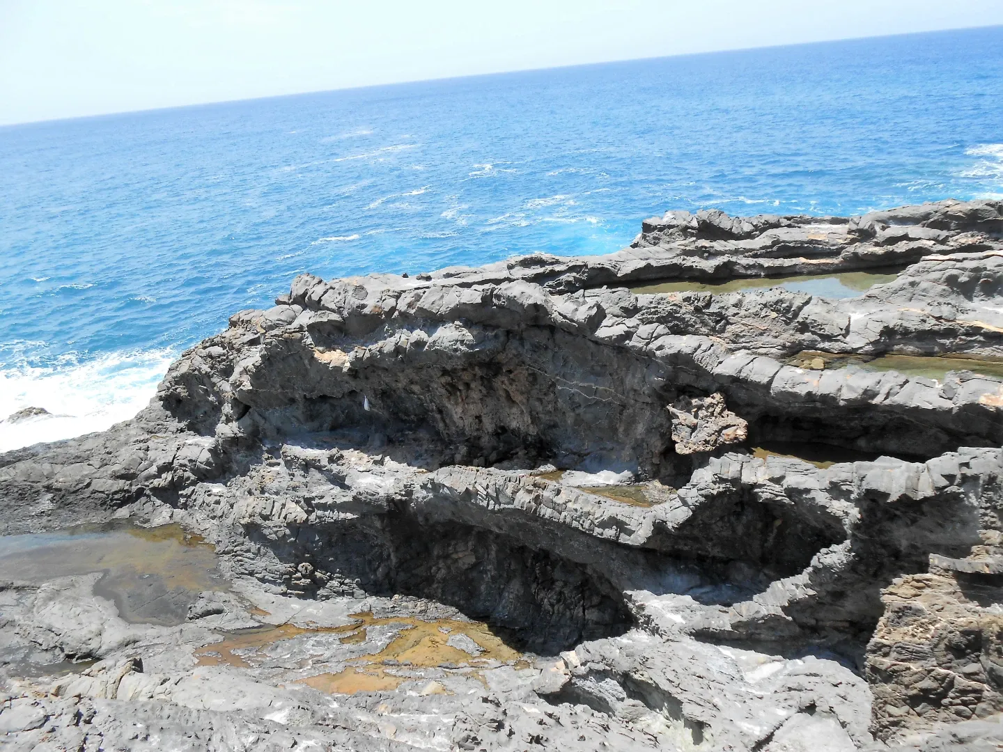
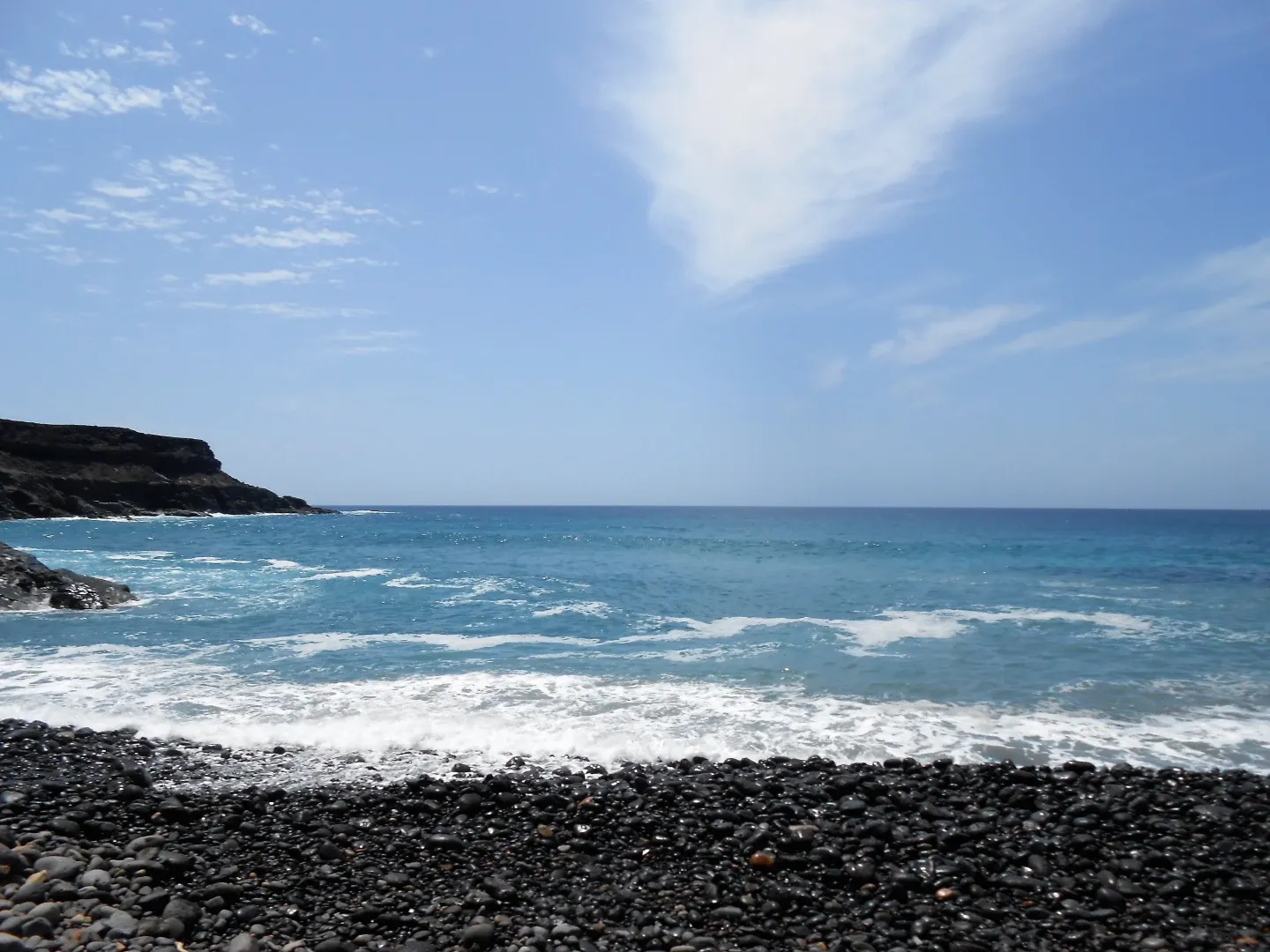
The western coast, with its rugged cliffs, volcanic rock formations and deep ravines, is exposed to strong winds and powerful Atlantic waves, creating strong currents in some areas. There are also a few beaches that are popular with surfers.
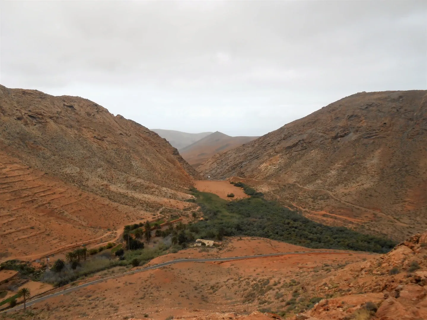
Vega de Río Palmas